Kevin Robinson
@KevinWLWT
Chief Meteorologist @WLWT Opinions are my own and re-tweets are not endorsements.
ID:129984826
http://www.wlwt.com 06-04-2010 00:22:10
21,7K Tweets
12,2K Followers
3,8K Following

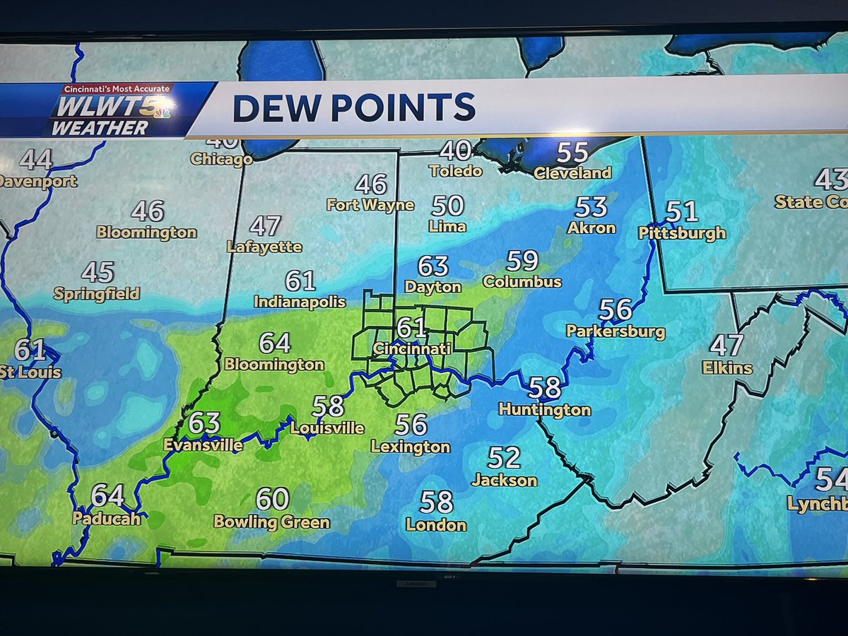
#Cincinnati subtle hints- tonight first signs of organizing frontal system which brings off & on rain into #FlyingPig weekend. Alto cumulus clouds, creeping dewpoints of 60+. Also adding a gusty downpour threat Thursday PM. #wlwt #wlwt weather #mostaccurate13 #Cincywx @wlwt

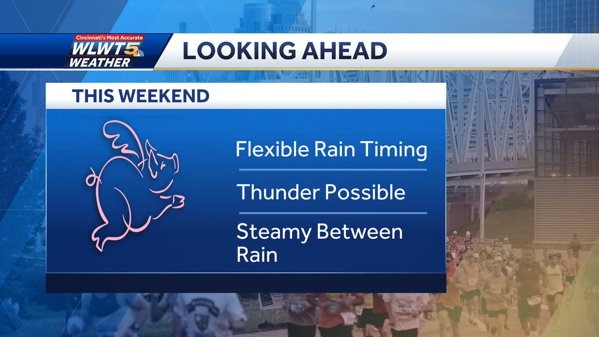
#Cincinnati #FlyingPig Timing subject to change, but Friday aft/evening looks wet at times, some rain could even linger into Sat AM for the 5/10K temps in the 60s, before drier- then some downpours overnight Sat/early Sun AM. #wlwt #wlwt weather #mostaccurate13 #Cincywx @wlwt


#Cincinnati specifics are hard to pin down now, but rain chances begin Friday and last through the weekend. Some races likely to be affected. Stick with the official #FlyingPig station #WLWT as details become more clear with #Cincywx #mostaccurate13 forecast. #wlwtweather @wlwt

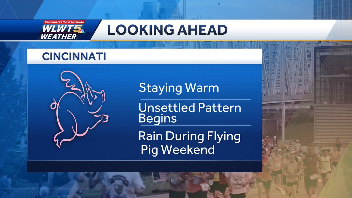
#Cincinnati One thing is certain- warm through #FlyingPigWeekend . Timing rain chances a much more difficult task at this time based on variables such as the exact location of a front, but I do expect some impacts from wet weather #wlwt #wlwt weather #mostaccurate13 #Cincywx @wlwt

#Cincinnati While a quick downpour or very brief shower possible sooner, the most impactful and widespread rains won't arrive until later likely closer to midnight. #wlwt #wlwt weather #mostaccurate13 #CIncywx @wlwt
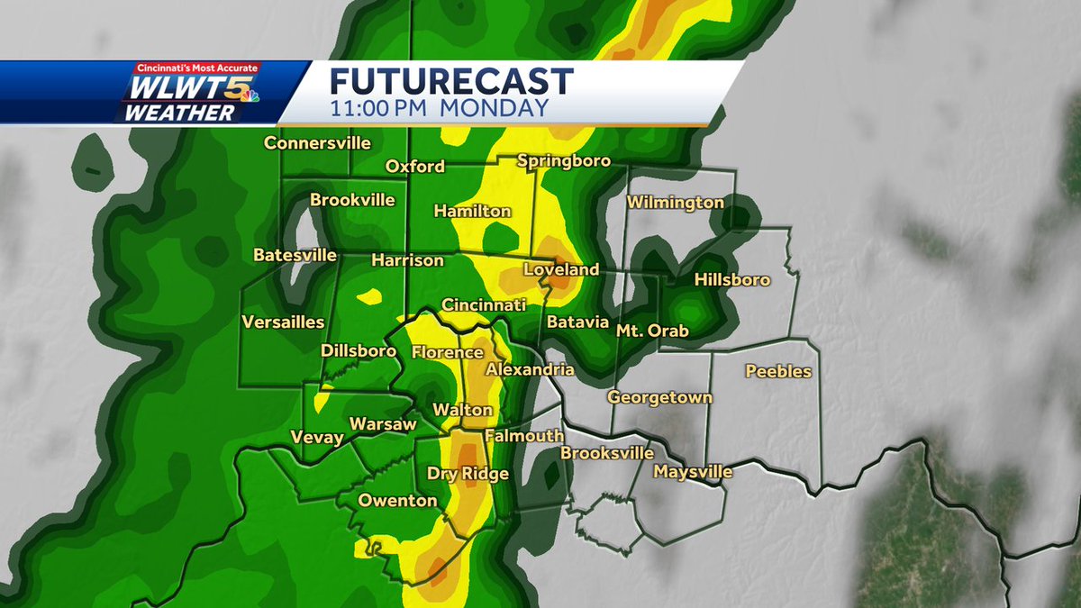

#Cincinnati Get the latest timeline of when showers and maybe a little thunder arrive tonight, and how much longer you can enjoy the warm and dry weather this evening on #wlwt #wlwt weather #mostaccurate13 #Cincywx @wlwt

#Cincinnati #FlyingPigWeekend ... early but how it looks now. Showers arrive as we start the weekend, and rain chances could also end it. A front near the area will likely mean forecast refinement as we get closer. Stay tuned. #wlwt #wlwt weather #mostaccurate13 #Cincywx @wlwt
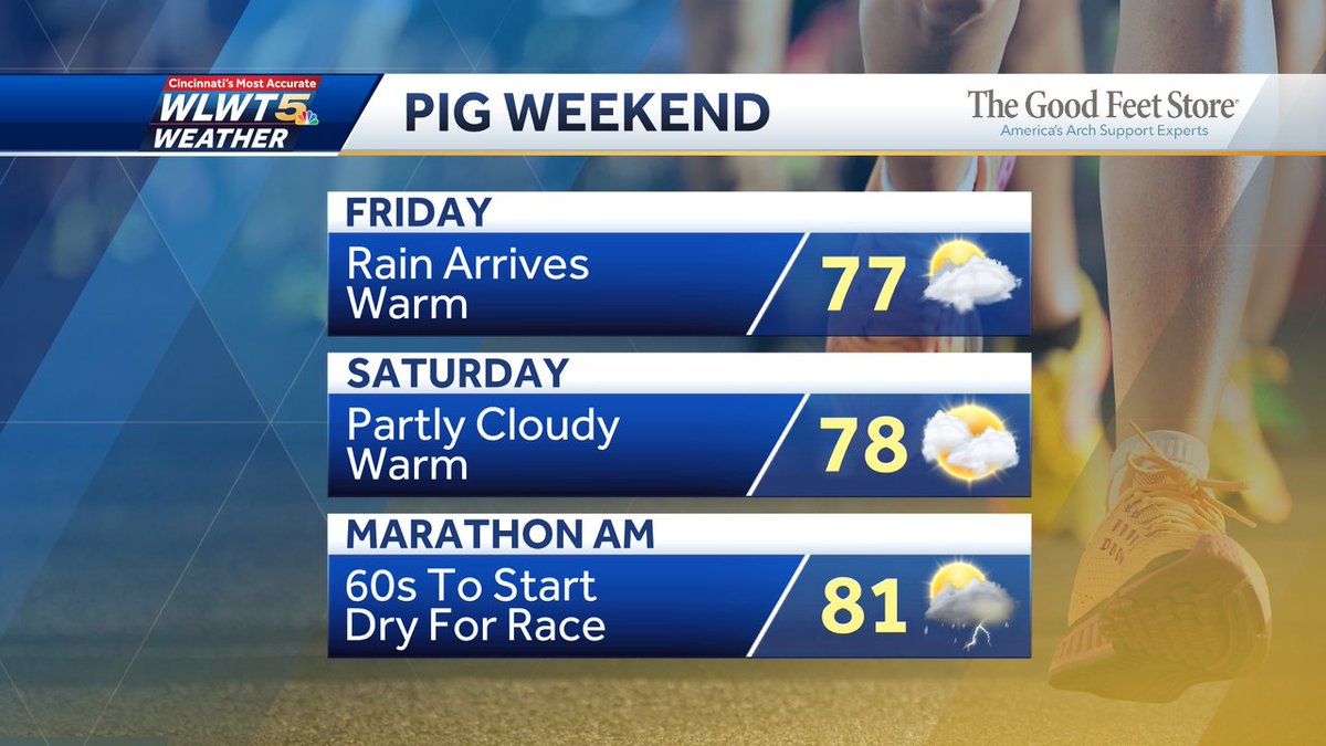

#Cincinnati Enjoy an early summer preview this weekend. It will be warm and mainly dry. Great for any outdoor activities. Any showers should be brief and very limited, most won't see anything. #wlwt #wlwt weather #mostaccurate13 #Cincywx @wlwt
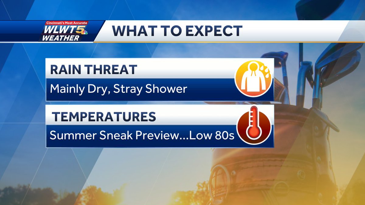

#Cincinnati It'll feel like late May or even early June this weekend with temperatures in the 80's. It will also be dry most of the time. A brief passing shower possible Friday afternoon/evening and early Sat AM. #wlwt #wlwt weather #mostaccurate13 #Cincywx @wlwt


#Cincinnati Two VERY different kind of Spring days over a VERY short distance. From great to cold. A Frost Advisory is in effect tonight outside of the I-275 loop and our northern counties closest to I-70. #wlwt #wlwt weather #mostaccurate13 #Cincywx @wlwt


#Cincinnati Initially sprinkles or a brief shower as there is some dry air to erode between the ground and clouds. However, these gradually build into a steady light/moderate rain this evening as it will also turn much cooler... #WLWT #wlwtweather #mostaccurate13 #Cincywx @wlwt

#Cincinnati Most of Tuesday looks nice- breezy, mild, and dry. Rain will arrive around the metro likely somewhere around 6/7PM, and a little sooner for areas northwest of I-71. #wlwt #wlwt weather #mostaccurate13 #Cincywx @wlwt
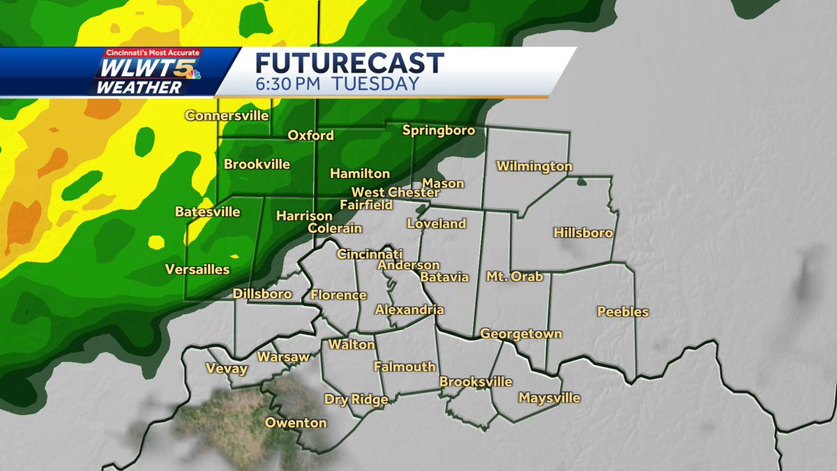

#Cincinnati Southwest winds and April sunshine means temperatures are already taking off! Find out which day this week will be the warmest and when to expect a round of light rain on #wlwt #wlwt weather #mostaccurate13 #Cincywx @wlwt
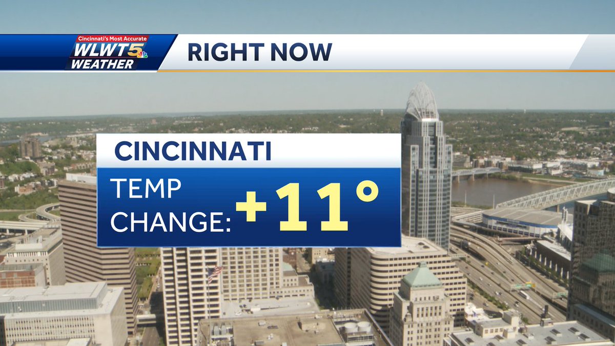

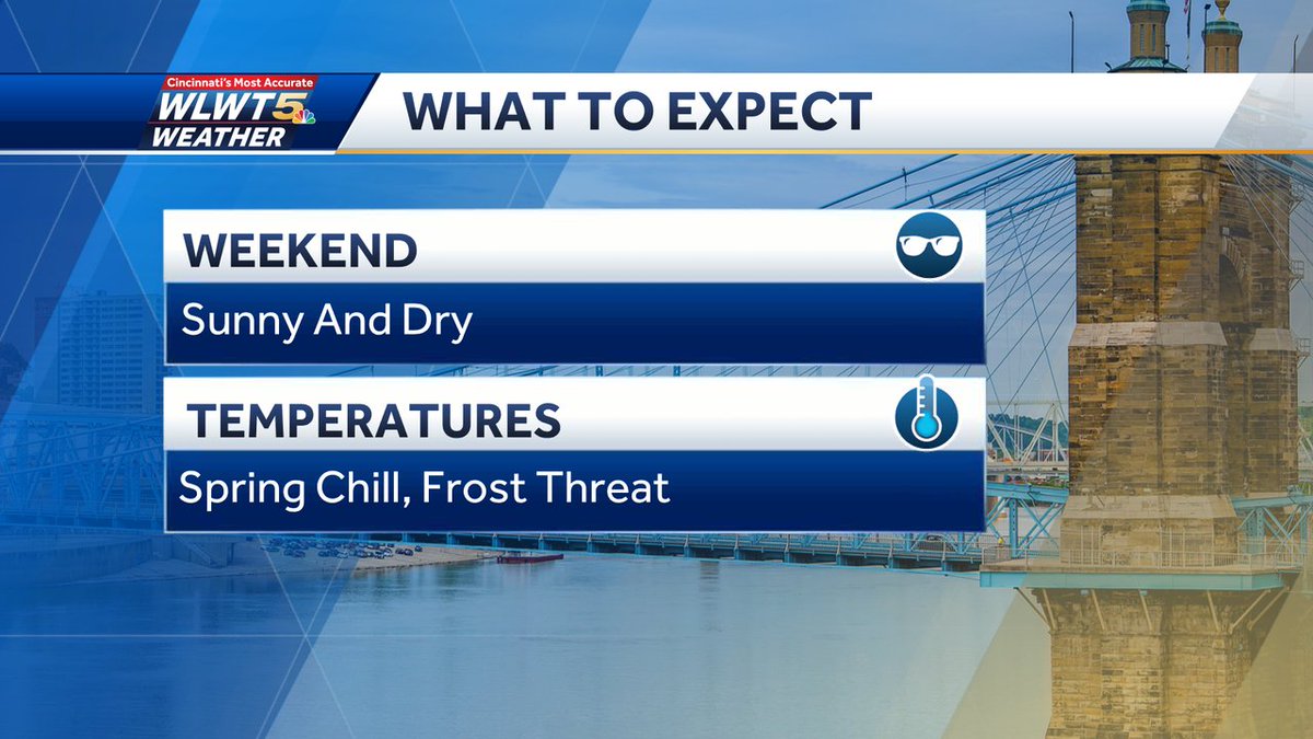
#Cincinnati Here's your weekend in a nutshell... you'll need the Spring coats, jackets, and sweaters especially nights,evenings, and mornings. The sun during the day will help offset the chill, but it will be breezy. #wlwt #wlwt weather #mostaccurate13 #Cincywx @wlwt

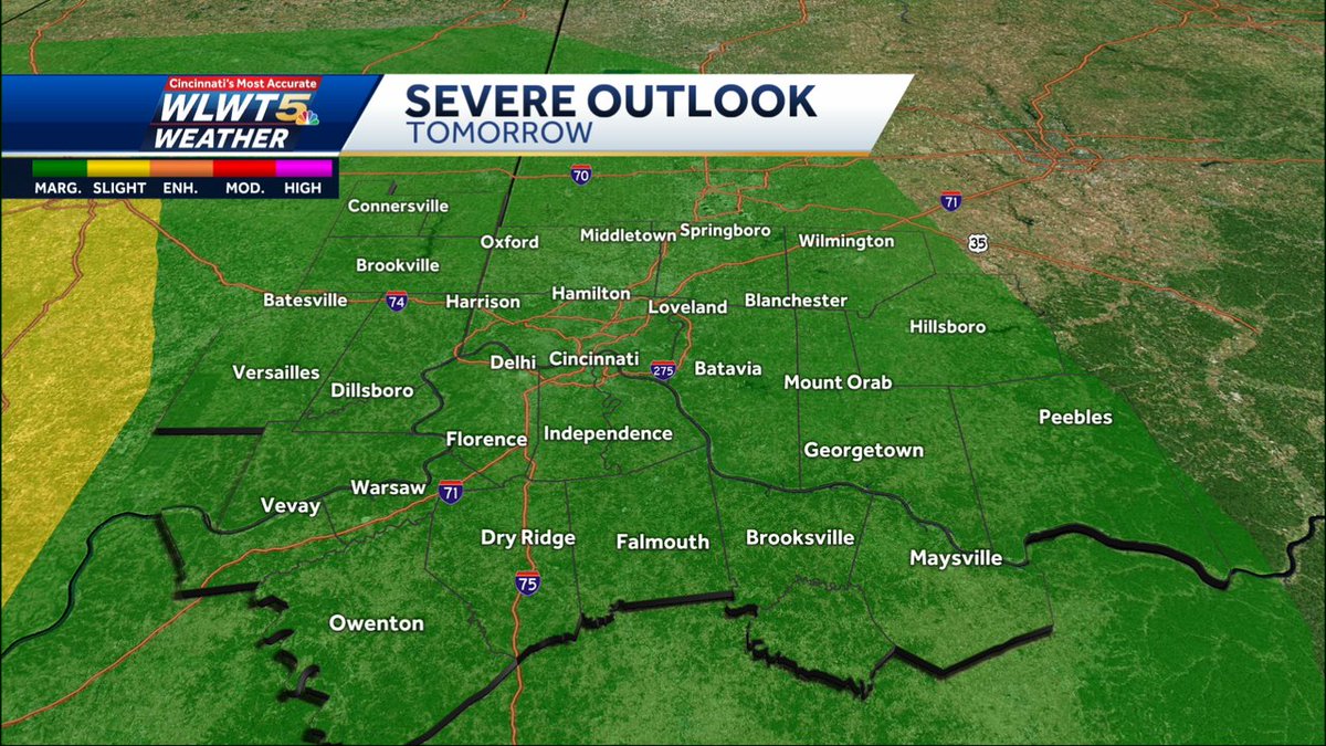
#Cincinnati Severe storms to our west continue marching east... Get my latest thoughts on what happens and any possible concerns we could face after midnight in 30 minutes on #WLWT #wlwtweather #mostaccurate13 #Cincywx @wlwt

#Cincinnati Signs quite positive line of storms to our west weakening shortly. Dewpoints remain nearly unchanged indicating poor quality moisture for continued storm maintenance. Possible some areas wind up with only showers... #wlwt #wlwt weather #mostaccurate13 #Cincywx @wlwt
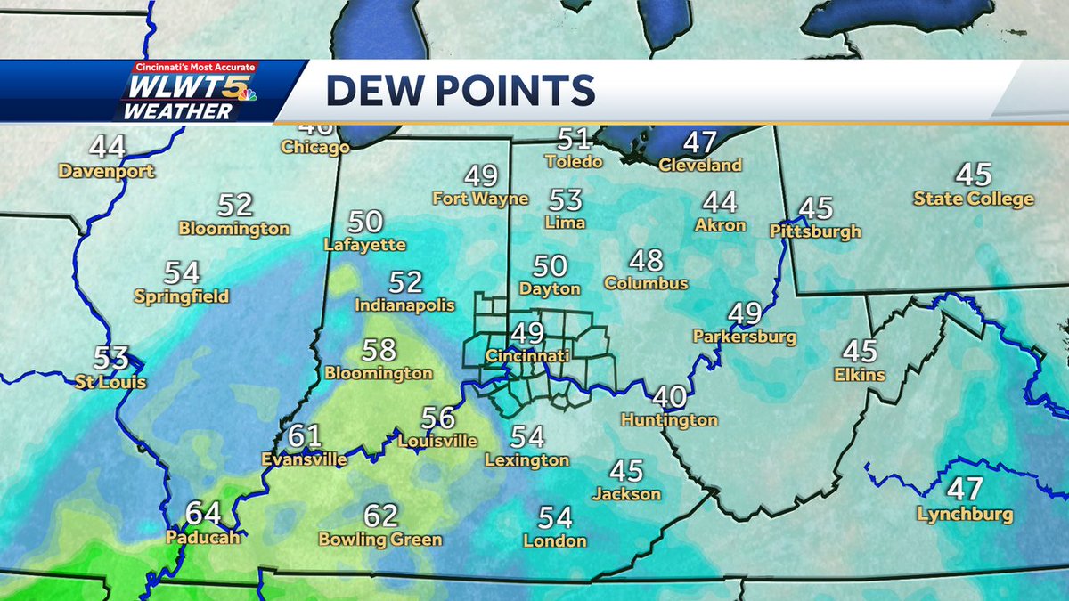

#Cincinnati Severe storms out west will run into a more stable environment in Tri-State arriving after midnight. This significantly reduces severe threat, but doesn't make it zero. Thunder, brief gusty winds, quick downpour... #wlwt #wlwt weather #mostaccurate13 #Cincywx @wlwt


#Cincinnati Severe threat greatly limited tonight because storms will run out of 'fuel' coming east after midnight. Dewpoints in the 40s/low 50s not supportive. Greater threat farther west where dewpoints are near 60 or higher. #wlwt #wlwt weather #mostaccurate13 #Cincywx @wlwt
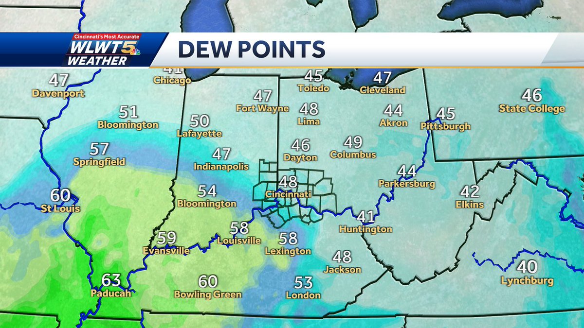

#Cincinnati all clear on #severe threat today, but threat for strong/severe storms not over. Another fast moving cluster of storms is possible late Thursday evening/night. Overall threat is low, but continue to monitor. #wlwt #wlwt weather #mostaccurate13 #Cincywx @wlwt
