Steven Ramage(@Steven_Ramage) 's Twitter Profileg
Steven Ramage

@Steven_Ramage

CEO @CEOSdotORG Committee on Earth Observation Satellites, Réseau Consulting Founder https://t.co/a9injevFpy Board @DEarthAfrica @GEOBON_org Scot

ID:35734886

linkhttp://uk.linkedin.com/in/stevenr calendar_today27-04-2009 13:00:26

11,7K Tweets

21,4K Followers

12,7K Following

Follow People
CEOS(@CEOSdotORG) 's Twitter Profile Photo

CEOS is proud to host a workshop at SatSummit on Cloud Native Geospatial for Earth Observation. The workshop will use hands on practical exercises to explore the cloud native geospatial paradigm
🔗canva.com/design/DAGDMJF…
Facilitated by Alex Leith Caitlin Adams Dave Borges

account_circle
Alex Leith(@alexgleith) 's Twitter Profile Photo

At SatSummit in May, Caitlin Adams and I are running a Cloud Native Geospatial for Earth Observation Workshop.

We're really excited to share this capability and are grateful for the support of CEOS in making this happen.

canva.com/design/DAGDMJF…

account_circle
Steven Ramage(@Steven_Ramage) 's Twitter Profile Photo

I'm passionate about collaboration & communication across the community. This year I will deliver the keynote at & talk about some examples from the sector GoGeomatics.ca Here is a teaser data4sdgs.org/blog/why-peopl… Cc: Global Partnership AGI Scotland Canadian Space Agency

account_circle
EuroGEO(@EuroGEO_eu) 's Twitter Profile Photo

📢You are invited!
➡️Webinar on 23rd of April from 14.00 to 16.00 Geneva time (CEST) focusing on Remote sensing for water productivity with WaPOR💧

Please find below the agenda and the registration link.
❗ Please note registration is compulsory.
zoom.us/meeting/regist…

📢You are invited! ➡️Webinar on 23rd of April from 14.00 to 16.00 Geneva time (CEST) focusing on Remote sensing for water productivity with WaPOR💧 Please find below the agenda and the registration link. ❗ Please note registration is compulsory. zoom.us/meeting/regist…
account_circle
Aravind 🌍 🛰(@aravindEO) 's Twitter Profile Photo

If you are working on anything to do with Earth observation, every day is . Very grateful I can call that my job 🛰️ 🌍

PS. Nice to see some satellite imagery featured on the Google Doodle!

If you are working on anything to do with Earth observation, every day is #EarthDay. Very grateful I can call that my job 🛰️ 🌍 PS. Nice to see some satellite imagery featured on the Google Doodle!
account_circle
World Meteorological Organization(@WMO) 's Twitter Profile Photo

The Copernicus Climate Change Service (C3S) and the World Meteorological Organization released the 2023 European State of the Climate report today.

wmo.int/media/news/eur…
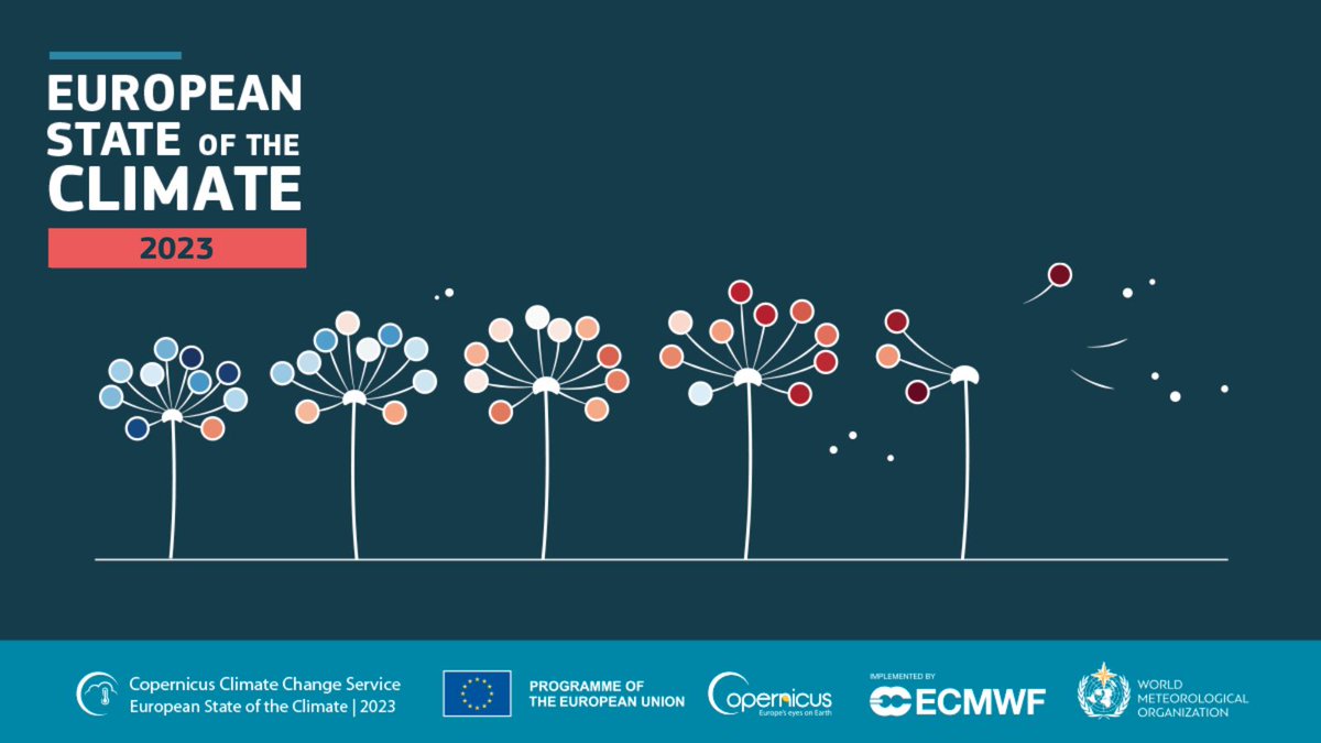
The Copernicus Climate Change Service (C3S) and the @WMO released the 2023 European State of the Climate report today. wmo.int/media/news/eur…
account_circle
Steven Ramage(@Steven_Ramage) 's Twitter Profile Photo

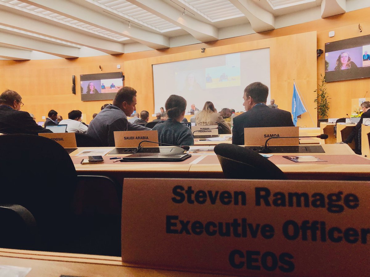
I’m World Meteorological Organization Commission for Observations, Infrastructure and Information Systems (INFCOM) meeting representing CEOS and our longstanding partnership, notably data for policy and early warning for

I’m @WMO Commission for Observations, Infrastructure and Information Systems (INFCOM) meeting representing @CEOSdotORG and our longstanding partnership, notably #satellite data for #climate policy and early warning for #disasters
account_circle
GEO LDN(@geoldn_org) 's Twitter Profile Photo

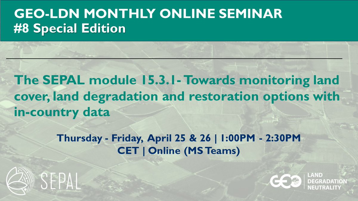
📅 Join us on April 25 -26, 2024, from 1-2:30 PM for #8 GEO-LDN Webinar “The SEPAL Module 15.3.1 – Towards monitoring land cover, land degradation and restoration options with in-country data” with experts from
Food and Agriculture Organization UN Land and Drought and

Register via [email protected].

📅 Join us on April 25 -26, 2024, from 1-2:30 PM for #8 GEO-LDN Webinar “The SEPAL Module 15.3.1 – Towards monitoring land cover, land degradation and restoration options with in-country data” with experts from @FAO @UNCCD and #geoldn Register via geo-ldn-events@giz.de. #SEPAL
account_circle
Geospatial World(@geoworldmedia) 's Twitter Profile Photo

geospatialworld.net/prime/plugging…

| With AI and ML advancements, there are tools to extract insights from vast spatial datasets surrounding us.

However, a significant challenge remains in translating geospatial data into tabular formats that align with other datasets. This

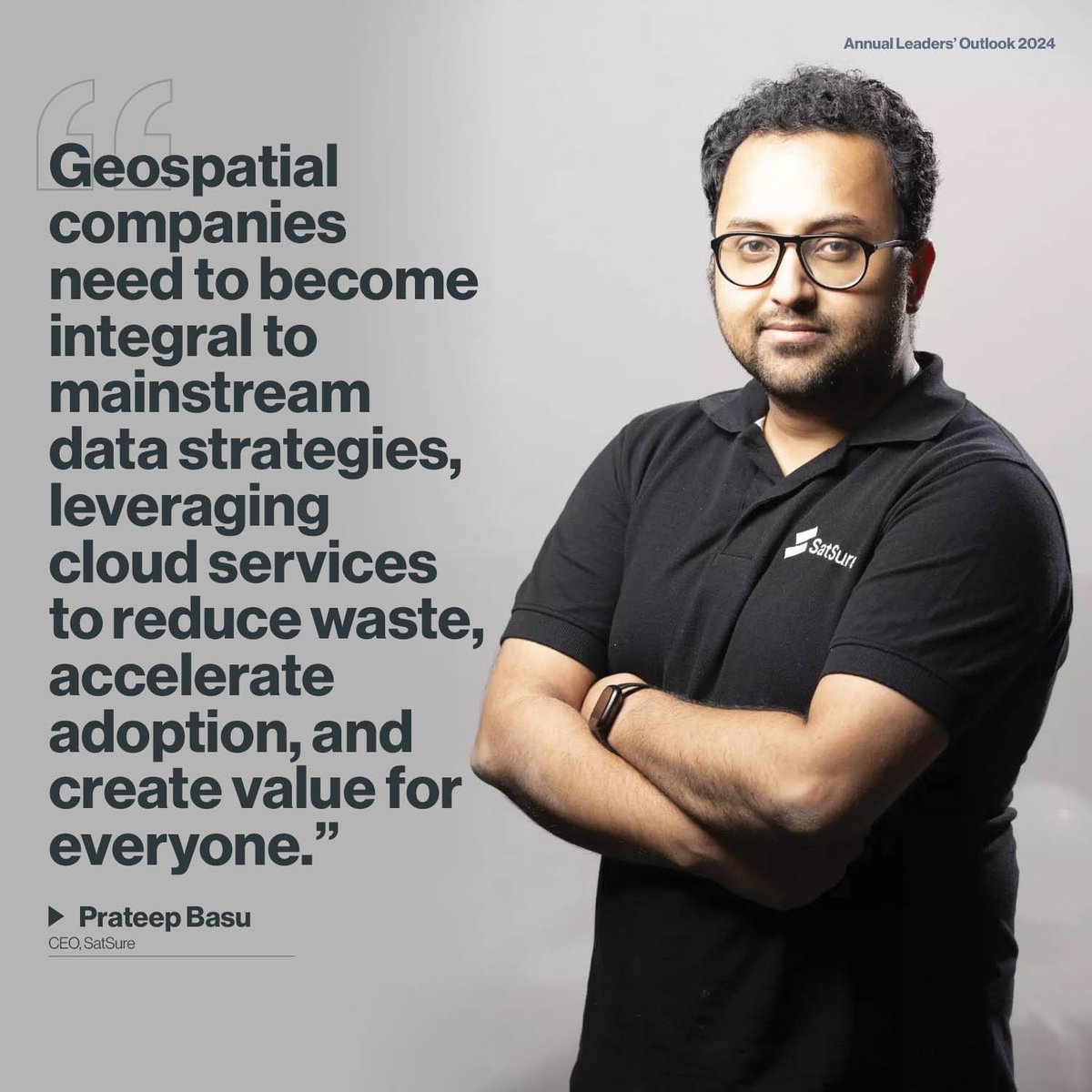
geospatialworld.net/prime/plugging… #opinion | With AI and ML advancements, there are tools to extract insights from vast spatial datasets surrounding us. However, a significant challenge remains in translating geospatial data into tabular formats that align with other datasets. This
account_circle
Steven Ramage(@Steven_Ramage) 's Twitter Profile Photo

Excellent CEOS resources for and elements of our work: ceos.org/data-tools/ e.g. analysis ready data essential climate variables greenhouse gas observations portal and UN sustainable development goals

account_circle