Lorien Innes(@lorieninnes) 's Twitter Profileg
Lorien Innes

@lorieninnes

Business Development Manager for Esri. Passion for mapping, globetrotting and exploring the great outdoors.

ID:276904044

linkhttp://www.esri.com calendar_today04-04-2011 09:47:00

316 Tweets

175 Followers

77 Following

Lorien Innes(@lorieninnes) 's Twitter Profile Photo

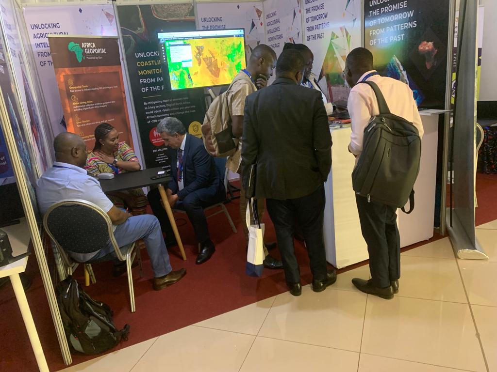
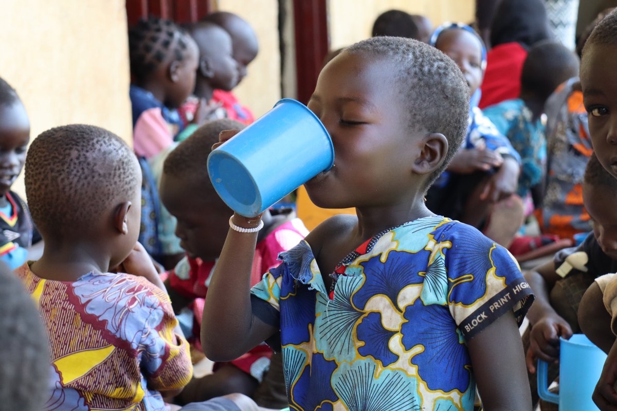
Join us tomorrow for a webinar on the use of GIS to expose issues and help operationalise the humanitarian-peace-development nexus at local scale in northern .

📅 Thursday, November 16, 2023
🕒 3pm Central Africa Time
register here: ow.ly/QOAA50Q7Mqs

Join us tomorrow for a webinar on the use of GIS to expose #foodsecurity issues and help operationalise the humanitarian-peace-development nexus at local scale in northern #Uganda. 📅 Thursday, November 16, 2023 🕒 3pm Central Africa Time register here: ow.ly/QOAA50Q7Mqs
account_circle
Lorien Innes(@lorieninnes) 's Twitter Profile Photo

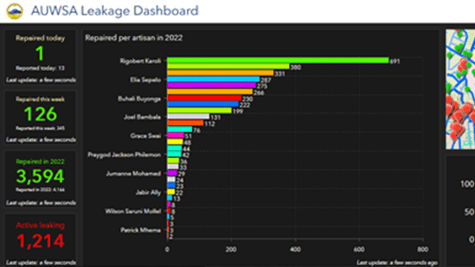
The Arusha Urban Water Supply and Sanitation Authority in Tanzania uses ArcGIS to help reduce pipeline leakages and manage this finite resource more efficiently. ow.ly/LEu450Q4W6m.

The Arusha Urban Water Supply and Sanitation Authority in Tanzania uses ArcGIS to help reduce pipeline leakages and manage this finite resource more efficiently. ow.ly/LEu450Q4W6m. #water #sanitation
account_circle
RCMRD 🇰🇪 🇺🇬 🇸🇴 🇹🇿 🇲🇼 🇰🇲 🇿🇲 🇱🇸 🇸🇿(@RCMRD_) 's Twitter Profile Photo

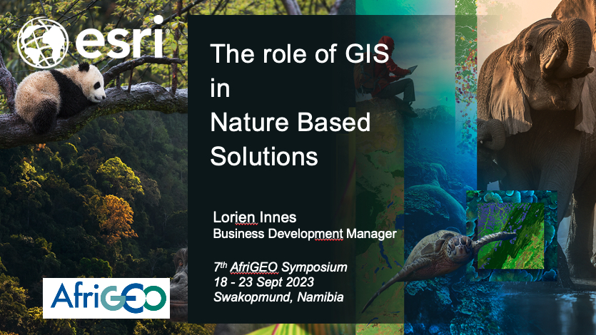
Day 2: Exploring the power of Nature-based Solutions at ! From promoting landscape restoration to utilizing Earth Observation for mangrove forest valuation, this session is all about a greener, more sustainable Africa.
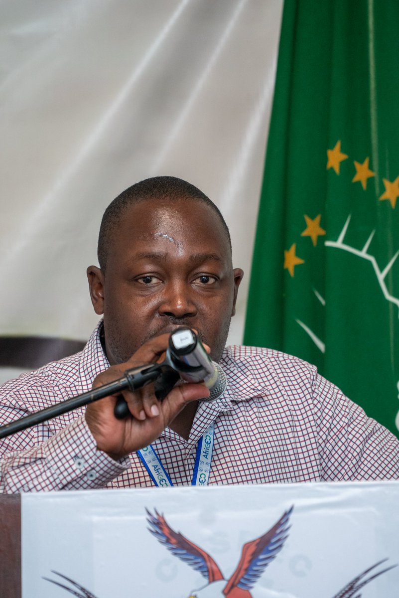
Day 2: Exploring the power of Nature-based Solutions at #7thAfriGeoSymposium! From promoting landscape restoration to utilizing Earth Observation for mangrove forest valuation, this session is all about a greener, more sustainable Africa.
account_circle
Lorien Innes(@lorieninnes) 's Twitter Profile Photo

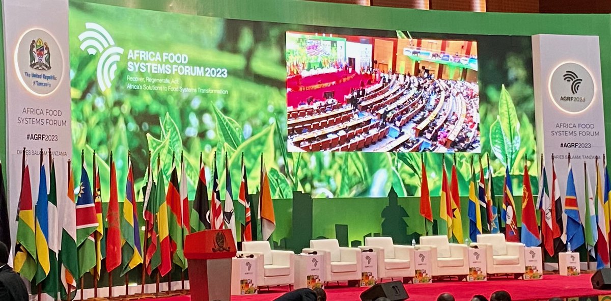
As mentioned by many honourary speakers at , is real and impacting agriculture production around the continent. Mapping and understanding the existing agricultural landscape supports mitigation and adaptation.

As mentioned by many honourary speakers at #agrf2023, #climatechange is real and impacting agriculture production around the continent. Mapping and understanding the existing agricultural landscape supports mitigation and adaptation.
account_circle
Lorien Innes(@lorieninnes) 's Twitter Profile Photo

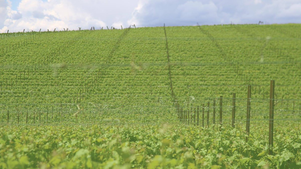
Esri startup @pollen_systems helped Shaw Vineyards with a GIS- and imagery-informed approach to irrigation for managing the effects of highly variable temperatures. ow.ly/tCy050P8sLJ

Esri startup @pollen_systems helped Shaw Vineyards with a GIS- and imagery-informed approach to irrigation for managing the effects of highly variable temperatures. ow.ly/tCy050P8sLJ #EsriPartner
account_circle
Lorien Innes(@lorieninnes) 's Twitter Profile Photo

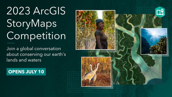
Join the annual ArcGIS StoryMaps Competition and share your story about protecting our planet’s lands and waters in and efforts. Start here: ow.ly/GOEB50P8sAS

Join the annual @ArcGISStoryMaps Competition and share your story about protecting our planet’s lands and waters in #conservation #science and #sustainability efforts. Start here: ow.ly/GOEB50P8sAS
account_circle
Lorien Innes(@lorieninnes) 's Twitter Profile Photo

Learn how to prepare and share GIS open data with OpenStreetMap data in ArcGIS. This four-step process, including a link to import guidelines, specifically gives you the steps you need. ow.ly/Jy9j50P8suU

Learn how to prepare and share GIS open data with OpenStreetMap data in ArcGIS. This four-step process, including a link to import guidelines, specifically gives you the steps you need. ow.ly/Jy9j50P8suU
account_circle
Lorien Innes(@lorieninnes) 's Twitter Profile Photo

Use location to find patterns and tackle complex problems. Esri's (free) course will teach you how. Secure your spot: ow.ly/sBxb50P8h2e

Use location to find patterns and tackle complex problems. Esri's (free) course will teach you how. #spatial #science #GIS Secure your spot: ow.ly/sBxb50P8h2e
account_circle
Lorien Innes(@lorieninnes) 's Twitter Profile Photo

Join Women In GIS to discuss perspectives within the GIS community! The meeting is Tuesday, July 11, 7:00-8:00 AM in Grand Ballroom 6 | Marriott. And yes, coffee will be available. ☕ Conference attendees of all backgrounds welcome!

Join @womeningis to discuss #DEI perspectives within the GIS community! The meeting is Tuesday, July 11, 7:00-8:00 AM in Grand Ballroom 6 | Marriott. And yes, coffee will be available. ☕ Conference attendees of all backgrounds welcome! #EsriUC2023

account_circle
Digital Earth Africa(@DEarthAfrica) 's Twitter Profile Photo

Are you a start-up or entrepreneur in disaster risk reduction, energy & minerals, sustainable development, food security & agriculture, ecosystem services?

Applications for the 2023 Africa Earth Observation Challenge are now open. Enter today!
eochallenge.africa

Are you a start-up or entrepreneur in disaster risk reduction, energy & minerals, sustainable development, food security & agriculture, ecosystem services? Applications for the 2023 Africa Earth Observation Challenge are now open. Enter today! eochallenge.africa #AEOC23
account_circle
Lorien Innes(@lorieninnes) 's Twitter Profile Photo

It's that time again! The 2023 ArcGIS Competition is here and this year's theme is 30x30. Storytellers globally can build a story about conservation, agriculture, climate science, parks and more.

Get started now. Submit your story in July. ow.ly/TOV950Omww1

It's that time again! The 2023 ArcGIS #StoryMaps Competition is here and this year's theme is 30x30. Storytellers globally can build a story about conservation, agriculture, climate science, parks and more. Get started now. Submit your story in July. ow.ly/TOV950Omww1
account_circle
Lorien Innes(@lorieninnes) 's Twitter Profile Photo

Which materials and natural resources make up the products we buy, and how are companies making them more sustainable? WhereNext tackles those questions with Nespresso and others on June 7 ow.ly/Hqzs50Omwep

account_circle
Lorien Innes(@lorieninnes) 's Twitter Profile Photo

Geospatial apps provide a framework for black rhino conservation management at Imire, leading to successful population management of this endangered species. ow.ly/TCmy50Omwmt

Geospatial apps provide a framework for black rhino conservation management at @Imire_Zimbabwe, leading to successful population management of this endangered species. ow.ly/TCmy50Omwmt
account_circle
Lorien Innes(@lorieninnes) 's Twitter Profile Photo

Carbon offsets could help the world reach net zero emissions—or they could fill us with false hope. A story about scrutiny and data ow.ly/vVsZ50OgRzE

Carbon offsets could help the world reach net zero emissions—or they could fill us with false hope. A story about scrutiny and data ow.ly/vVsZ50OgRzE
account_circle