Compass Informatics
@CompassInfo
We discover information insights, making the most of information & location technologies, GIS & analytics. Managing cities to seas, people and places.
ID:34938798
http://www.compassinformatics.com 24-04-2009 14:31:28
1,3K Tweets
953 Followers
1,7K Following


Wow our team have been busy! Thanks Luke Lambert @amylewy of Irish Independent for this article on #Wexford 🇮🇪 Curlew. Extra Happy World #Curlew Day!
independent.ie/regionals/wexf…
#EUIrelandWales UCC Ireland Aberystwyth University Geo Smart Decisions BTO Cymru BTO Compass Informatics


Great also to receive industry backing, with experts in the fields of #GIS , #EarthObservation and #Surveying volunteering as GeoMentors - 8 companies so far Compass Informatics Icon Geo Mallon Technology Murphy Geospatial Apex Surveys 1Spatial Arup People and Place Limited - learn from the best

The ECHOES project has allowed the teams to work collaboratively on a number of climate change related topics, and allow Compass Informatics build a land management information system:
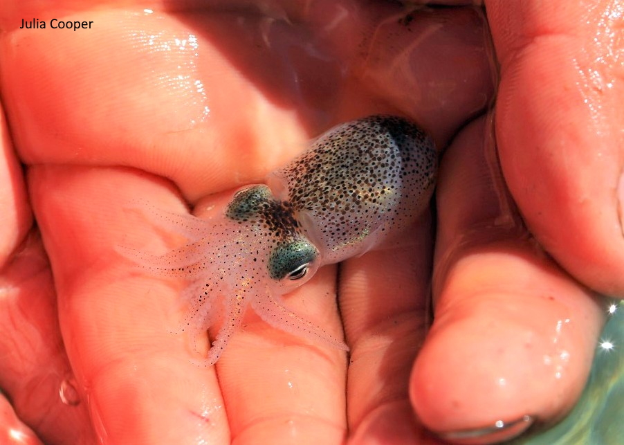
The Little Cuttlefish (or Atlantic Bobtail Squid) only grows to about 6cm in length. It can be found in sandy rockpools. It's name as Gaeilge is Cudal Beag. This one was photographed by Julia Cooper in Canty's Cove, Cork last July. exploreyourshore.ie #ExploreYourShoreIRL

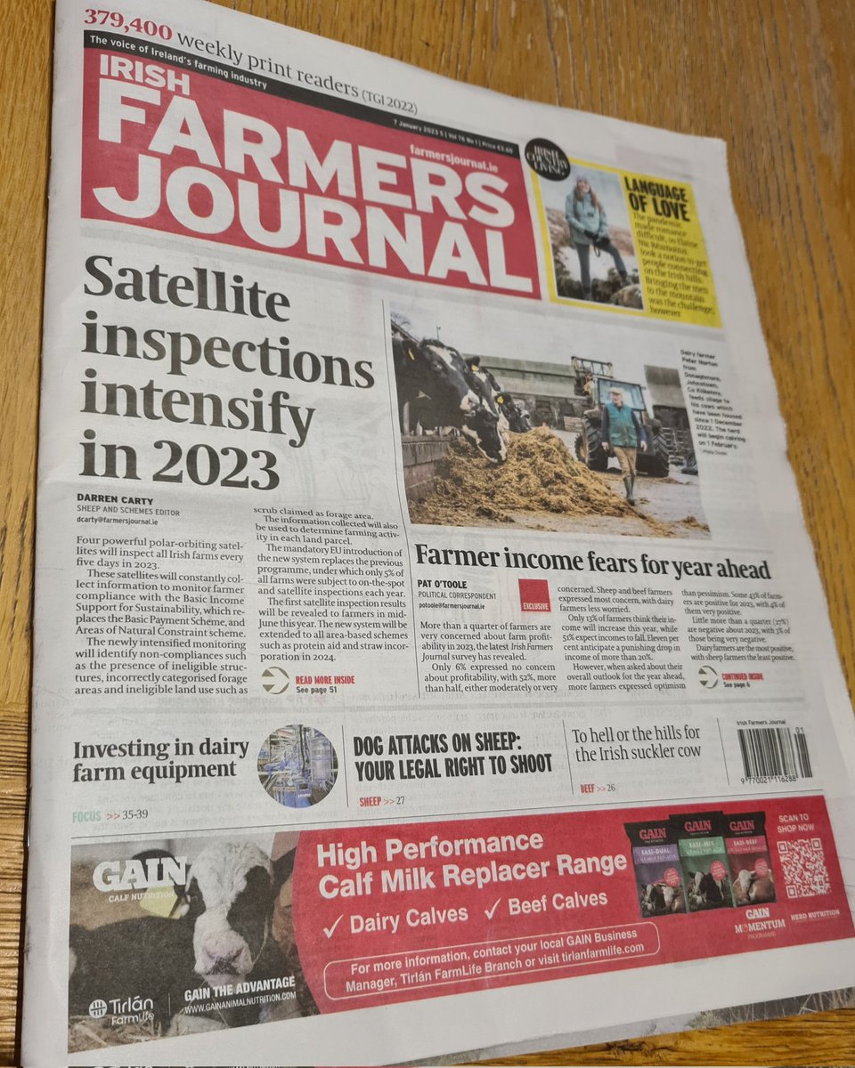
5 min read? The use of satellite data analysis for a practical agricultural management application: Compass Informatics & partners
are working with Dept of Agriculture, Food and the Marine
to build an Area Monitoring System for Ireland.
#AMS #CAP #ESA European Space Agency #Sentinel
…-farmersjournal-ie.cdn.ampproject.org/c/s/www.farmer…

At Compass Informatics we've an Oracle DBA role. Wexford / hybrid role, and part of our forestry systems team:
ie.indeed.com/job/senior-ora…


A nice video of the Web platform Compass Informatics have created as part of the ECHOES project. A land management tool with satellite imagery analysis, actions management and more.

At Compass Informatics we've an Oracle DBA role. Wexford / hybrid role, and part of our forestry systems team:
ie.indeed.com/job/senior-ora…


As the Biodiversity Ireland moves to a new delivery structure, Compass Informatics stands tall over its 15 year delivery record.
linkedin.com/posts/gearoido…

😍We can't wait to take part in @corkscience family day this Sun 13 Nov! Join us to discover/learn more about Curlew & GWfG & how climate change might effect them. 🇮🇪 #EUIrelandWales ERI UCC Green Campus Compass Informatics Geo Smart Decisions Aberystwyth University BTO Cymru #STEM

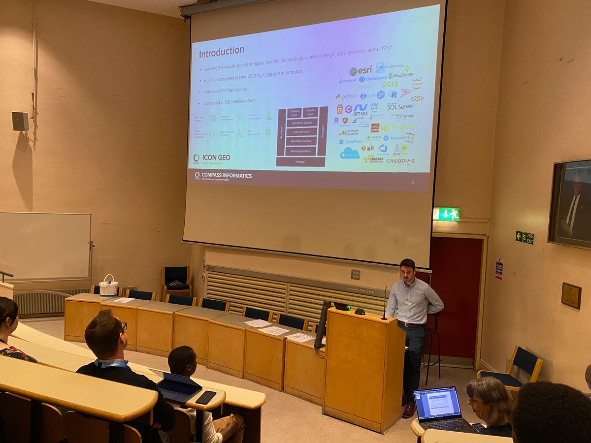
Robert O'Loughlin from Compass Informatics is presenting some of #EO applications and how these can help monitor our environment
#IEOS2022 TU Dublin / OT Baile Átha Cliath

The ECHOES project is examining potential impacts of climate change on the distribution of wetland habitats along the Irish Sea coast, with a particular focus on those of the Eurasian Curlew. 🧵2 #EUIrelandWales
BTO Cymru Geo Smart Decisions UCC Ireland Aberystwyth University Compass Informatics

Great to see attention and support being given by Welsh Government to the ECHOES project and its practical actions re climate change impacts on species. And great for us to be centrally involved in the work.

Compass Informatics & Icon Geo attended this very worthwhile and busy few days with European Space Agency Agenzia Spaziale ITA Enterprise Ireland and many Irish & Italian companies. New collaborations and partnerships formed. Grazie a tutti!

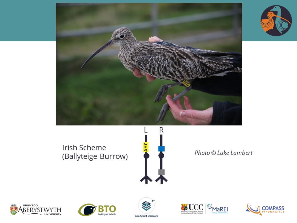
Curlew are returning to the coast for the winter (already!). Please let us know if you see any with the rings pictured, by emailing details to [email protected]. Thank you! BTO BTO Cymru Ceredigion Birds Curlew Action Curlews in crisis #EUIrelandWales #Curlew
