Iowa Emergency Management Association(@IowaEMA) 's Twitter Profileg
Iowa Emergency Management Association

@IowaEMA

IEMA exists to advance the professional interests of its members and to assist Iowans in preserving life and protecting property in the face of any hazard.

ID:96644463

linkhttp://www.iowaema.com calendar_today13-12-2009 23:03:51

6,7K Tweets

761 Followers

94 Following

IowaHSEMD(@IowaHSEMD) 's Twitter Profile Photo

Gov. Reynolds authorized a for 15 counties— Adair, Adams, Cass, Clay, Hardin, Harrison, Jasper, Kossuth, Marshall, Montgomery, Page, Palo Alto, Pottawattamie, Tama, & Warren—in response to May 21 severe weather.

More info: go.iowa.gov/nPTQ

Gov. Reynolds authorized a #disaster #proclamation for 15 counties— Adair, Adams, Cass, Clay, Hardin, Harrison, Jasper, Kossuth, Marshall, Montgomery, Page, Palo Alto, Pottawattamie, Tama, & Warren—in response to May 21 severe weather. More info: go.iowa.gov/nPTQ
account_circle
Iowa Emergency Management Association(@IowaEMA) 's Twitter Profile Photo

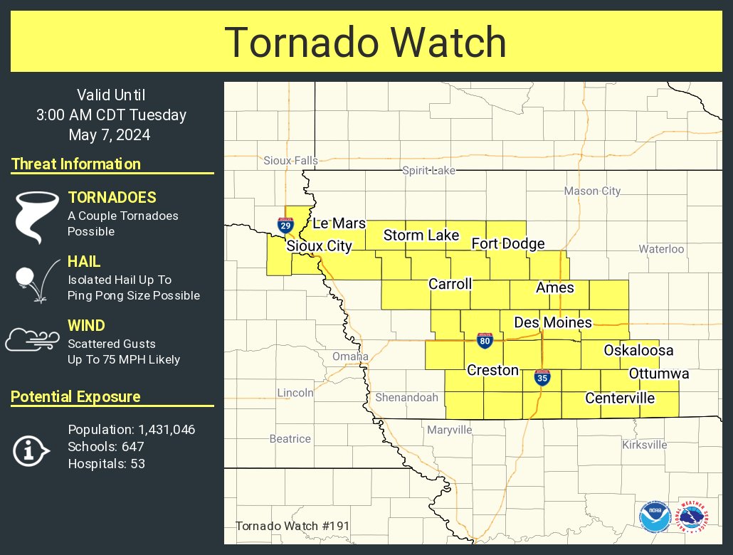
TORNADO WATCH until 9pm

⚠️THIS IS A PARTICULARLY DANGEROUS SITUATION
🌪️Several tornadoes and a few intense tornadoes likely
🌬️Widespread damaging winds and isolated significant gusts to 90mph likely
🧊Scattered large hail with isolated very large hail to 4' in diameter possible

account_circle
NWS Storm Prediction Center(@NWSSPC) 's Twitter Profile Photo

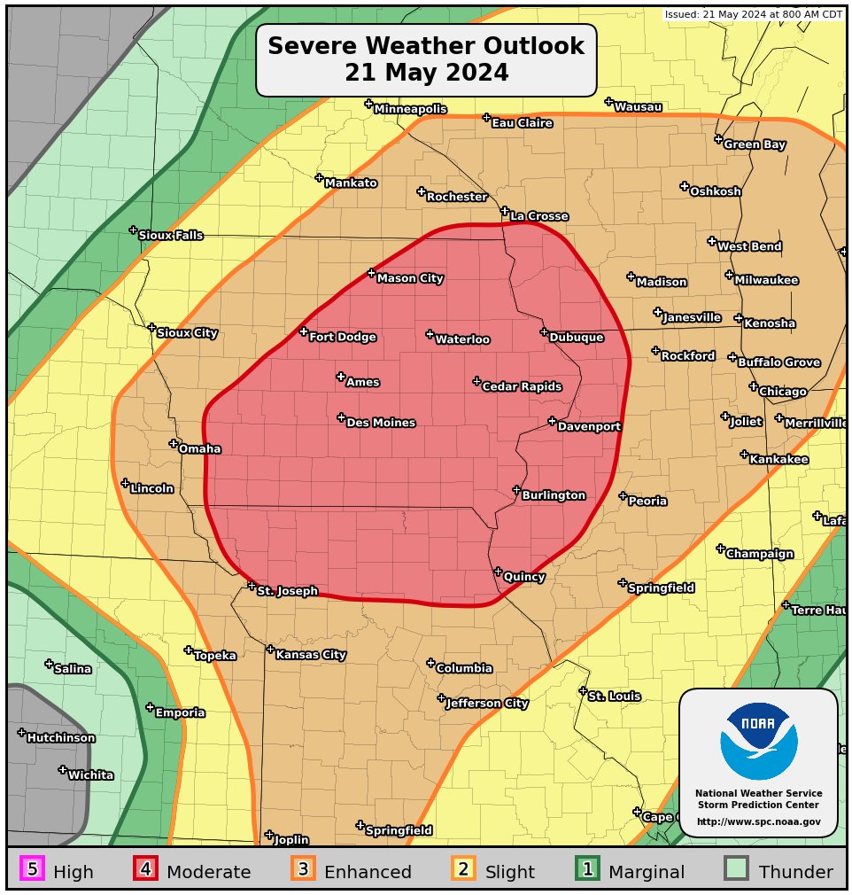
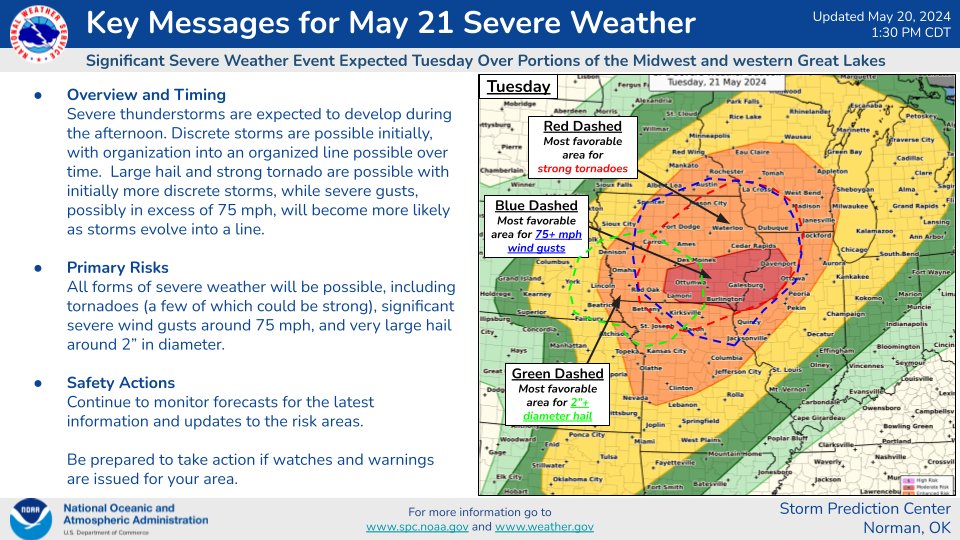
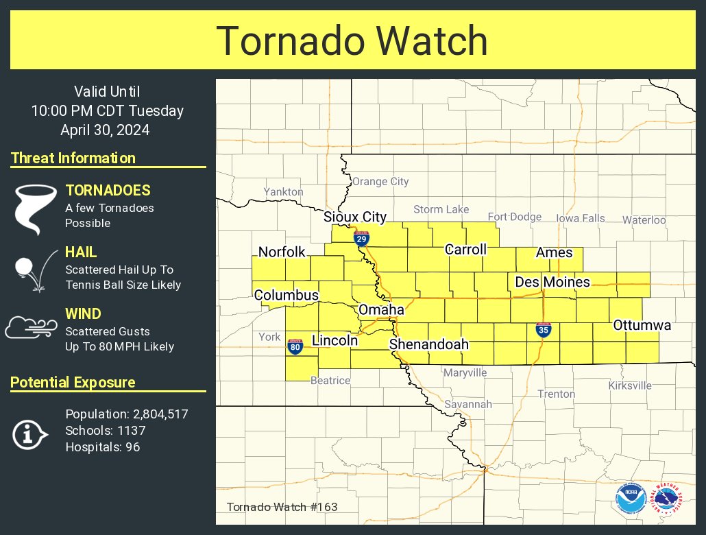
Severe thunderstorms are expected Tuesday afternoon and evening across parts of the Midwest. Large to very hail and strong tornado are possible with initially more discrete storms, while severe gusts, possibly in excess of 75 mph, will become more likely later in the evening.

Severe thunderstorms are expected Tuesday afternoon and evening across parts of the Midwest. Large to very hail and strong tornado are possible with initially more discrete storms, while severe gusts, possibly in excess of 75 mph, will become more likely later in the evening.
account_circle
NWS Storm Prediction Center(@NWSSPC) 's Twitter Profile Photo

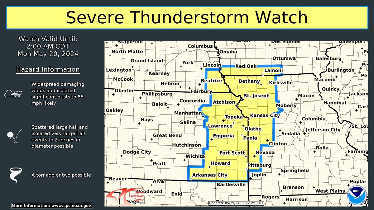
A severe thunderstorm watch has been issued for eastern Kansas, far southeast Nebraska, far southwest Iowa, and western Missouri until 2 AM CDT. Significant wind gusts up to 85 mph and very large hail up to 2 inches in diameter will be the primary hazards.

A severe thunderstorm watch has been issued for eastern Kansas, far southeast Nebraska, far southwest Iowa, and western Missouri until 2 AM CDT. Significant wind gusts up to 85 mph and very large hail up to 2 inches in diameter will be the primary hazards. #KSwx #MOwx #NEwx #IAwx
account_circle
FEMA(@fema) 's Twitter Profile Photo

Yesterday, the The White House approved a major disaster declaration in Iowa following the April tornadoes. Residents may apply for federal assistance if they live in one of the designated areas. Additional areas may be added as damage assessments continue.

🔗fema.gov/disaster/4779
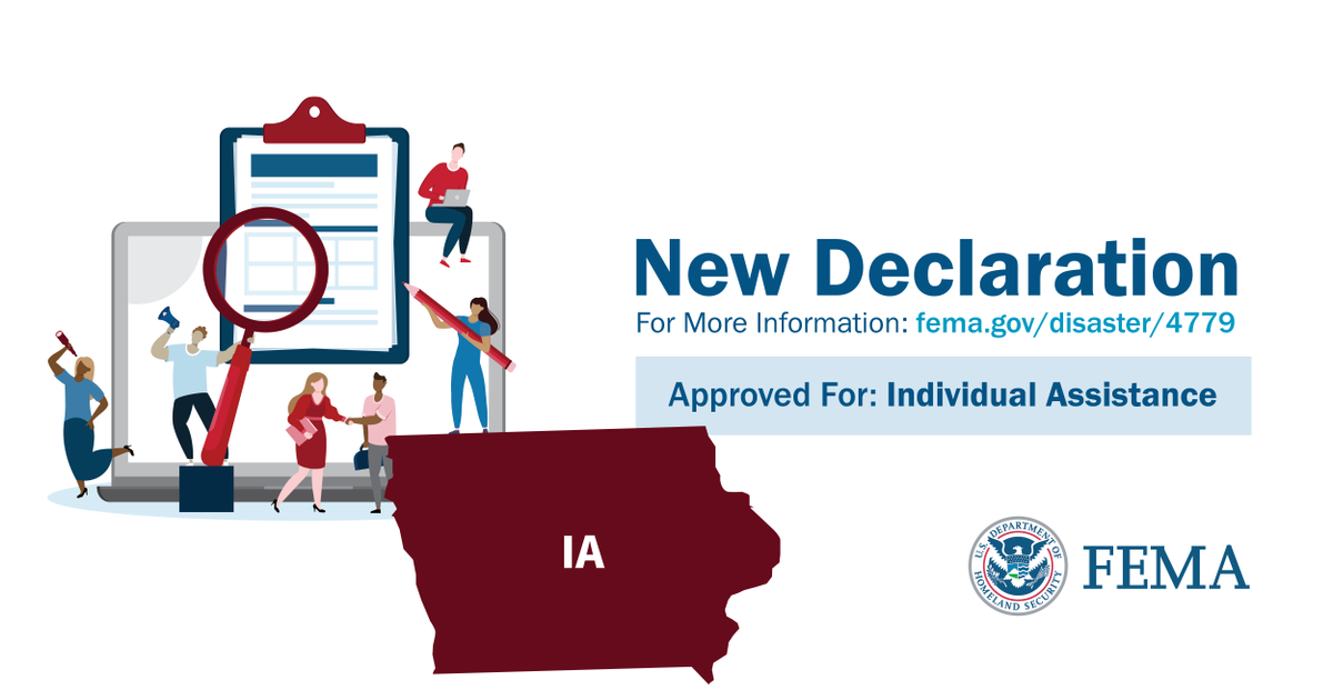
Yesterday, the @WhiteHouse approved a major disaster declaration in Iowa following the April tornadoes. Residents may apply for federal assistance if they live in one of the designated areas. Additional areas may be added as damage assessments continue. 🔗fema.gov/disaster/4779

account_circle
FEMA Region 7(@femaregion7) 's Twitter Profile Photo

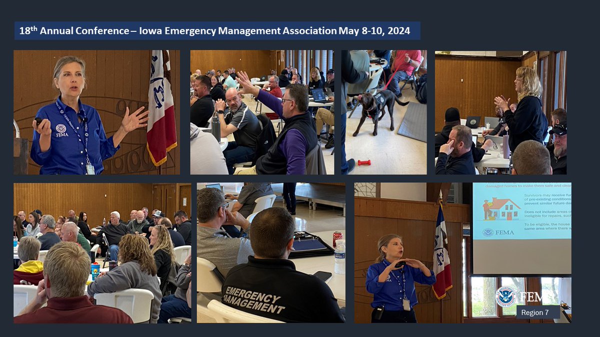
Iowa Emergency Management Association conference May 8-10 in Wahpeton, IA. More than 100 emergency managers and voluntary agencies attending. First day presentations included United Cajun Navy, Safeguard Iowa and local EMs.

Iowa Emergency Management Association conference May 8-10 in Wahpeton, IA. More than 100 emergency managers and voluntary agencies attending. First day presentations included United Cajun Navy, Safeguard Iowa and local EMs.
account_circle
FEMA Region 7(@femaregion7) 's Twitter Profile Photo

🤗HUGE thanks to the Iowa Emergency Management Assn. for inviting us to speak at their 18th Annual Conf. We talked about new, transformative changes to FEMA's Individual Assistance Program. Great to be w/the local heroes who help our communities! Iowa Emergency Management Association

🤗HUGE thanks to the Iowa Emergency Management Assn. for inviting us to speak at their 18th Annual Conf. We talked about new, transformative changes to FEMA's Individual Assistance Program. Great to be w/the local heroes who help our communities! @IowaEMA #iawx #iowa
account_circle
NWS Storm Prediction Center(@NWSSPC) 's Twitter Profile Photo

⚠️Sat 4/27/24

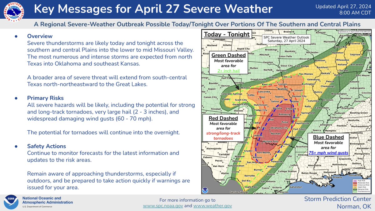
A Regional Severe Weather Outbreak is possible over the Plains and mid MS Valley today/tonight.

Numerous severe thunderstorms are possible over parts of OK, KS and North TX . Strong, long-track tornadoes, very large hail, and damaging winds are likely

⚠️Sat 4/27/24 A Regional Severe Weather Outbreak is possible over the Plains and mid MS Valley today/tonight. Numerous severe thunderstorms are possible over parts of OK, KS and North TX . Strong, long-track tornadoes, very large hail, and damaging winds are likely
account_circle
IowaHSEMD(@IowaHSEMD) 's Twitter Profile Photo

Storm damage this weekend in Iowa?

Please report damage to your property, roads, utilities or any other Iowa storm-related information by using this form: go.iowa.gov/vyAP

Storm damage this weekend in Iowa? Please report damage to your property, roads, utilities or any other Iowa storm-related information by using this form: go.iowa.gov/vyAP
account_circle
Iowa Emergency Management Association(@IowaEMA) 's Twitter Profile Photo

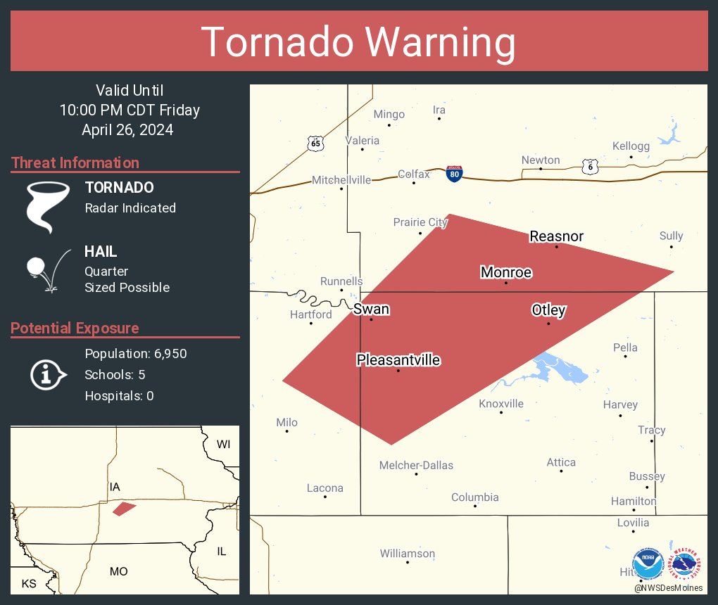
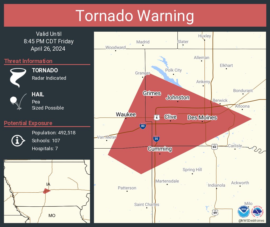
At 857 PM CDT, a confirmed large and extremely dangerous tornado was located over Pleasant Hill, moving northeast at 35 mph.

This is a PARTICULARLY DANGEROUS SITUATION. TAKE COVER NOW!

account_circle
Madison County EMA(@madisonemc) 's Twitter Profile Photo

Rotation has been reported in Paterson. Please stay sheltered. We are also seeing a storm coming in from Lorimor. Please continue to stay alert as these storms come through the area.

account_circle