Jeff Penner(@JeffPennerKSHB) 's Twitter Profileg
Jeff Penner

@JeffPennerKSHB

Weekend AM Meteorologist at KSHB TV, husband, father of a 17 year old son

ID:382155525

linkhttp://www.kshb.com calendar_today29-09-2011 15:43:09

8,9K Tweets

5,9K Followers

1,2K Following

Jeff Penner(@JeffPennerKSHB) 's Twitter Profile Photo

The line of thunderstorms now moving through the west part of KC brought a brief 50-60 mph wind gust to south OP about 950 am. After this line exits KC between 11 am and noon, it should be dry, sunny and windy in KC the rest of the day. ⁦KSHB 41 News

account_circle
Jeff Penner(@JeffPennerKSHB) 's Twitter Profile Photo

This weekend we are in for a taste of summer. This could lead to a taste of severe weather early next week.

The weather looks great for the Sporting Kansas City game tonight at Arrowhead.

Details are in our updated KSHB 41 News weather blog at:
kshb.com/weather/weathe…
This weekend we are in for a taste of summer. This could lead to a taste of severe weather early next week. The weather looks great for the @SportingKC game tonight at Arrowhead. Details are in our updated @KSHB41 weather blog at: kshb.com/weather/weathe…
account_circle
Jeff Penner(@JeffPennerKSHB) 's Twitter Profile Photo

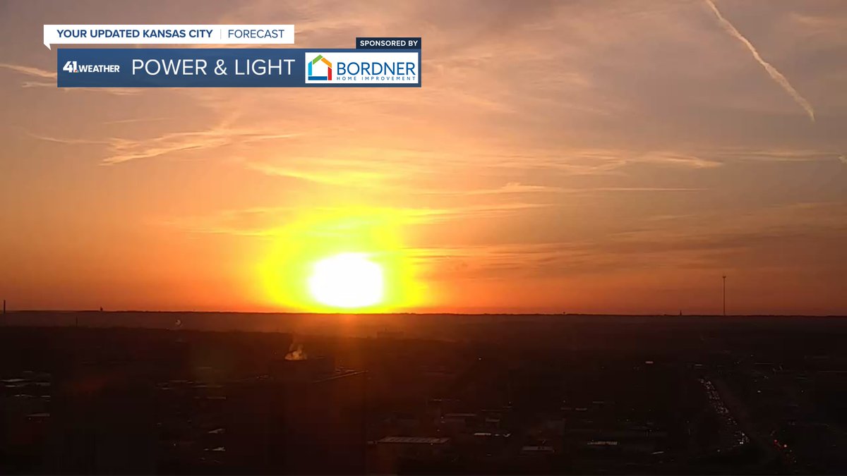
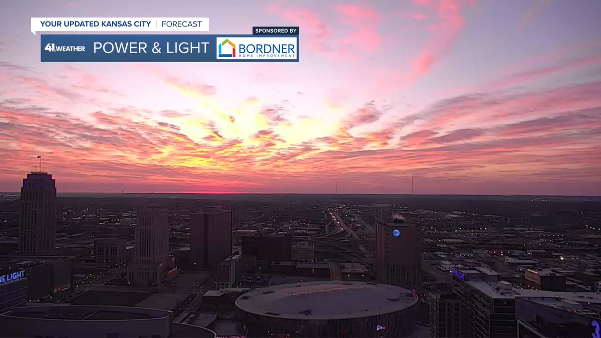
Super Saturday sunrise! We are in for an unseasonably warm and windy day. Highs will be 80-85 with south winds gusting to 30-40 mph. Great weather for Sporting KC this evening out at Arrowhead.
@kshb41

Super Saturday sunrise! We are in for an unseasonably warm and windy day. Highs will be 80-85 with south winds gusting to 30-40 mph. Great weather for Sporting KC this evening out at Arrowhead. @kshb41
account_circle
Jeff Penner(@JeffPennerKSHB) 's Twitter Profile Photo

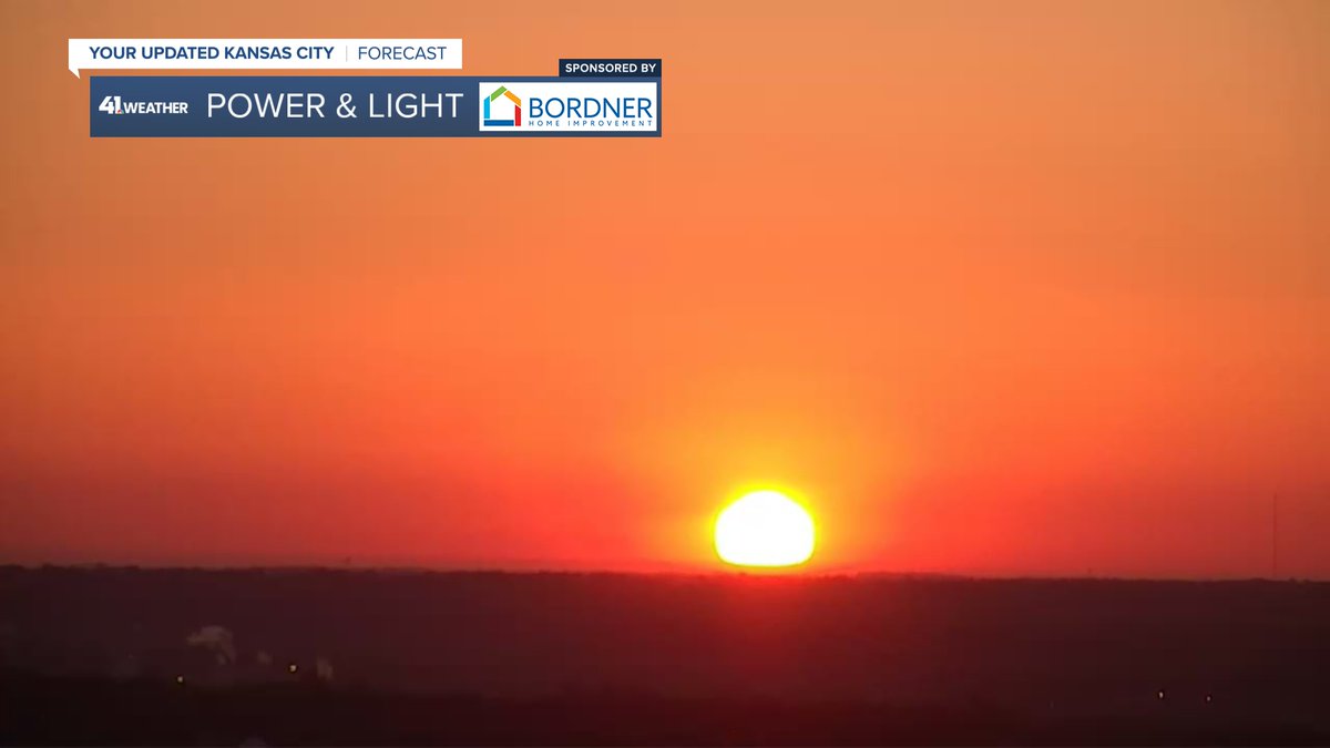
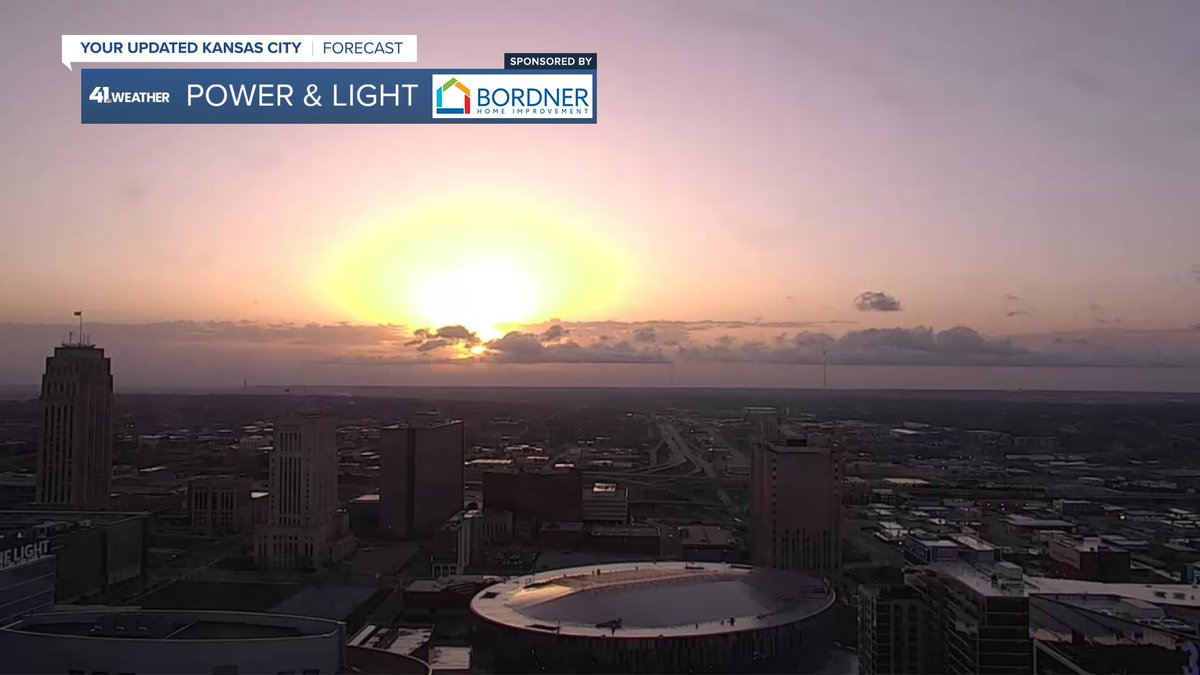
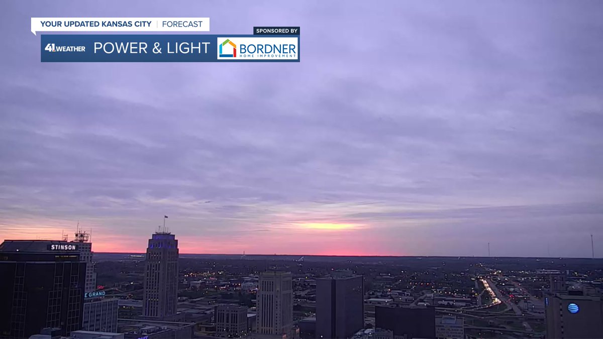
It was a pretty sunrise a day after it was blocked for a short time by the moon.

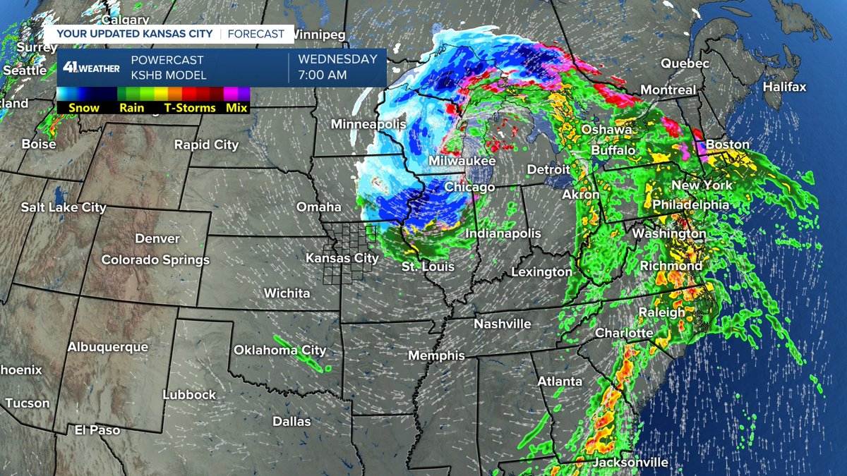
We are tracking a large storm system this week and 1-2 systems next week. Will any of these bring rain to our area?

Details are in our updated KSHB 41 News weather blog at:
kshb.com/weather/weathe…

It was a pretty sunrise a day after it was blocked for a short time by the moon. We are tracking a large storm system this week and 1-2 systems next week. Will any of these bring rain to our area? Details are in our updated @KSHB41 weather blog at: kshb.com/weather/weathe…
account_circle
Jeff Penner(@JeffPennerKSHB) 's Twitter Profile Photo

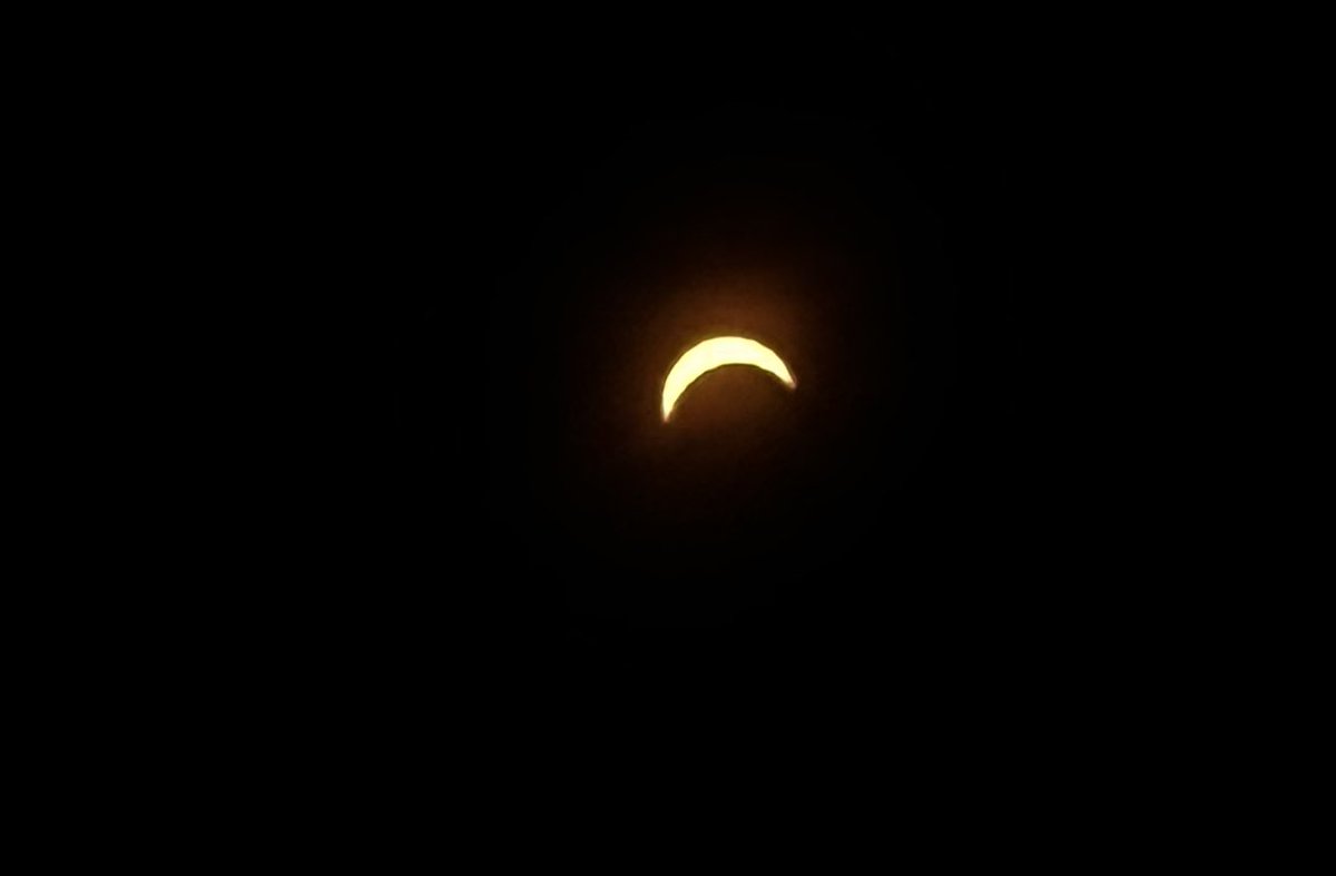
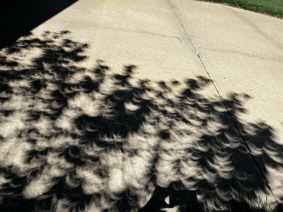
Super Solar Eclipse day sunrise. Any clouds we will have to deal with are the type out there now, high, thin cirrus clouds. You should be able to see the eclipse through those clouds. Temperatures will be in the 60s with a light wind 12:37-3:12 PM
@kshb41

Super Solar Eclipse day sunrise. Any clouds we will have to deal with are the type out there now, high, thin cirrus clouds. You should be able to see the eclipse through those clouds. Temperatures will be in the 60s with a light wind 12:37-3:12 PM @kshb41
account_circle
Jeff Penner(@JeffPennerKSHB) 's Twitter Profile Photo

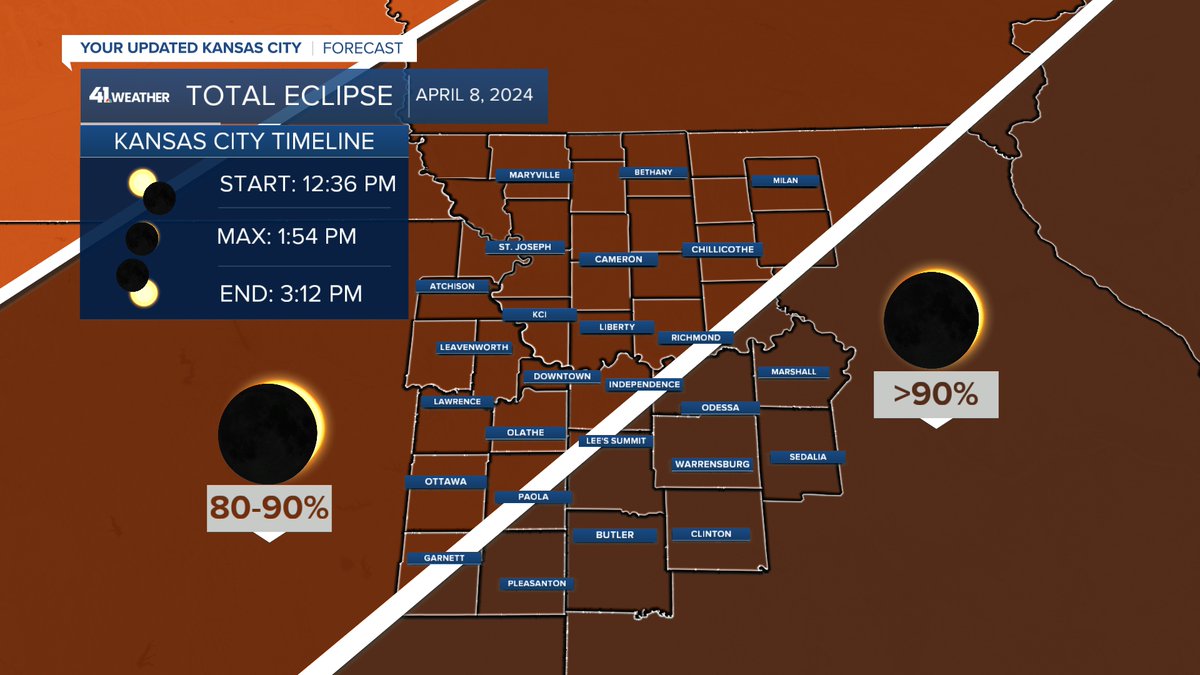
It's eclipse Monday! The weather looks great for viewing the 90% coverage in our area.

What about the weather in the 'path of totality' and when is our next chance of rain?

Details are in our updated KSHB 41 News weather blog at:

kshb.com/weather/weathe…
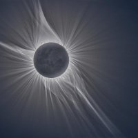
It's eclipse Monday! The weather looks great for viewing the 90% coverage in our area. What about the weather in the 'path of totality' and when is our next chance of rain? Details are in our updated @KSHB41 weather blog at: kshb.com/weather/weathe…
account_circle
Jeff Penner(@JeffPennerKSHB) 's Twitter Profile Photo

What happened to the blue sky? An area of western Plains dust has moved in on the gusty southwest winds today. This should be gone by tomorrow for the other event in the sky. ⁦⁦KSHB 41 News

What happened to the blue sky? An area of western Plains dust has moved in on the gusty southwest winds today. This should be gone by tomorrow for the other event in the sky. ⁦⁦@KSHB41⁩
account_circle
Jeff Penner(@JeffPennerKSHB) 's Twitter Profile Photo

Does it still look mostly sunny for the eclipse? When is our next chance of rain? It rained last night but amounts were mostly under .25'.

Details are in our updated KSHB 41 News weather blog at:

kshb.com/weather/weathe…

Does it still look mostly sunny for the eclipse? When is our next chance of rain? It rained last night but amounts were mostly under .25'. Details are in our updated @KSHB41 weather blog at: kshb.com/weather/weathe…
account_circle
Jeff Penner(@JeffPennerKSHB) 's Twitter Profile Photo

A pretty Sunday sunrise, with some haze in the air. That is likely western Plains dust that was kicked up by 60 mph winds out there Saturday. We will see more sun and wind today with 40 mph wind gusts from the southwest. The high will be around 70.
@kshb41

A pretty Sunday sunrise, with some haze in the air. That is likely western Plains dust that was kicked up by 60 mph winds out there Saturday. We will see more sun and wind today with 40 mph wind gusts from the southwest. The high will be around 70. @kshb41
account_circle
Jeff Penner(@JeffPennerKSHB) 's Twitter Profile Photo

We are tracking the chance of thunderstorms tonight and the weather for solar eclipse viewing Monday.

Details are in our updated KSHB 41 News weather blog at:

kshb.com/weather/weathe…

We are tracking the chance of thunderstorms tonight and the weather for solar eclipse viewing Monday. Details are in our updated @KSHB41 weather blog at: kshb.com/weather/weathe…
account_circle
Jeff Penner(@JeffPennerKSHB) 's Twitter Profile Photo

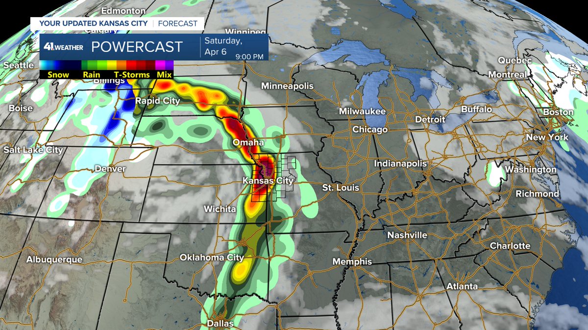
Super Saturday sunrise! We are in for some nice weather today with highs around 70. It will be a bit windy with gusts 30-40 mph from the southeast. Keep an eye to the sky tonight as T-Storms move through KC 8-11 PM.
@kshb41

Super Saturday sunrise! We are in for some nice weather today with highs around 70. It will be a bit windy with gusts 30-40 mph from the southeast. Keep an eye to the sky tonight as T-Storms move through KC 8-11 PM. @kshb41
account_circle
Jeff Penner(@JeffPennerKSHB) 's Twitter Profile Photo

We are in for better weather Thursday & Friday with highs 55-60. However, tonight & Thursday night will see lows around 32. Thursday night looks the coldest. Our next T-Storm chance is increasing for Saturday night. Right now the severe threat is very low.
@kshb41

We are in for better weather Thursday & Friday with highs 55-60. However, tonight & Thursday night will see lows around 32. Thursday night looks the coldest. Our next T-Storm chance is increasing for Saturday night. Right now the severe threat is very low. @kshb41
account_circle
Jeff Penner(@JeffPennerKSHB) 's Twitter Profile Photo

We are in an active pattern as we roll into April. Our current storm is slowly exiting as 2 new systems move in over the weekend into next week. Could these affect solar eclipse viewing?
Details are in our updated KSHB 41 News weather blog at:

kshb.com/weather/weathe…
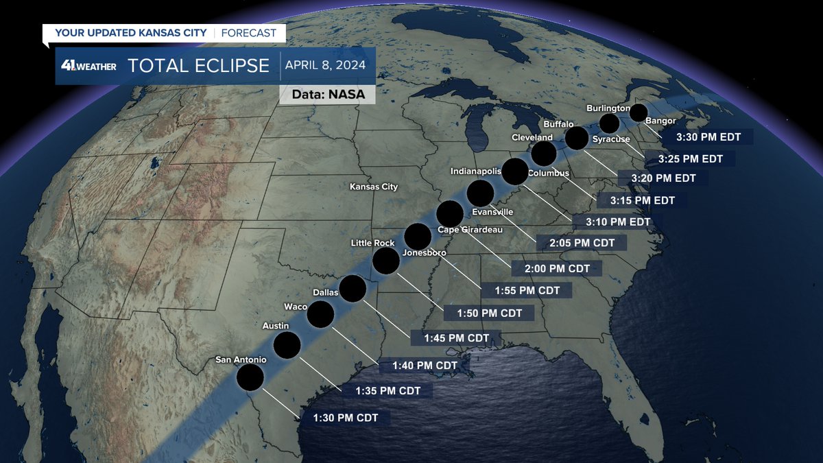
We are in an active pattern as we roll into April. Our current storm is slowly exiting as 2 new systems move in over the weekend into next week. Could these affect solar eclipse viewing? Details are in our updated @KSHB41 weather blog at: kshb.com/weather/weathe…
account_circle
Jeff Penner(@JeffPennerKSHB) 's Twitter Profile Photo

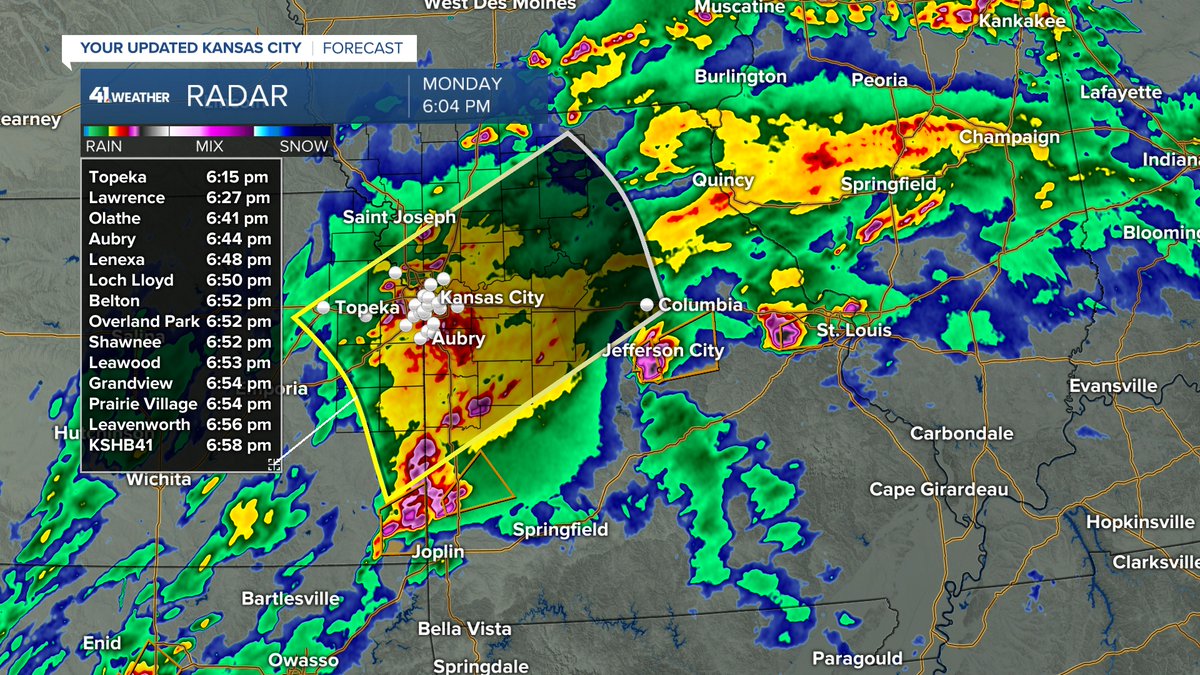
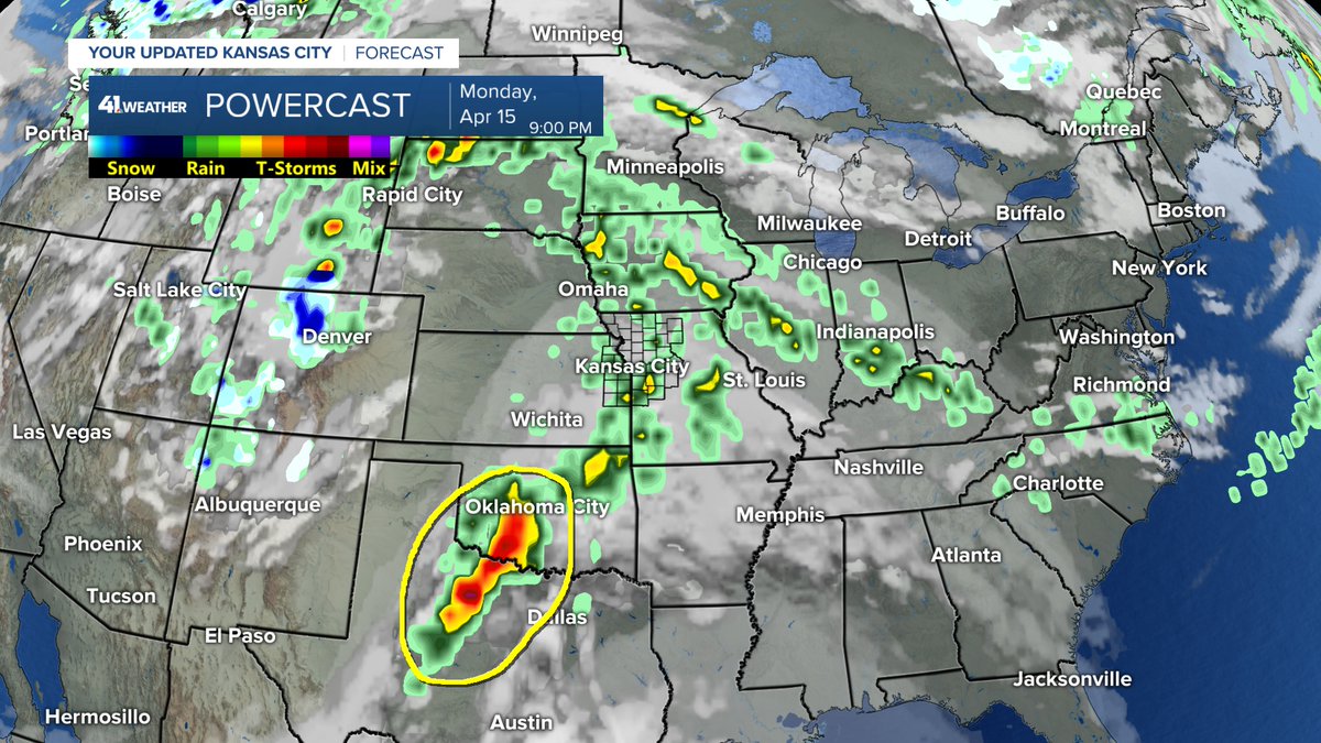
This round of rain & T-Storms will end during the next hour as it races northeast at 60 mph. The rain cooled air from the day and this evening has greatly reduced the severe threat. After this it is just scattered showers, T-Storms before a cold rain arrives by sunrise.
@kshb41

This round of rain & T-Storms will end during the next hour as it races northeast at 60 mph. The rain cooled air from the day and this evening has greatly reduced the severe threat. After this it is just scattered showers, T-Storms before a cold rain arrives by sunrise. @kshb41
account_circle
Jeff Penner(@JeffPennerKSHB) 's Twitter Profile Photo

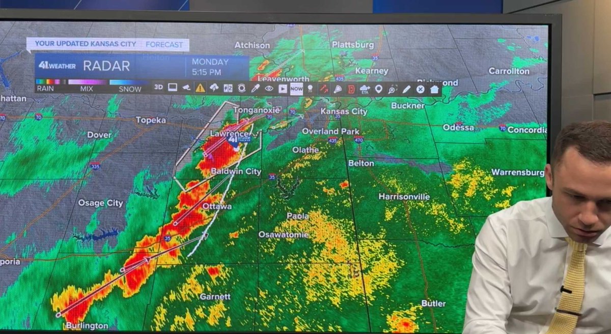
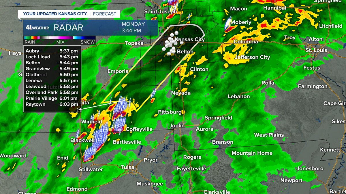
TORNADO WATCH until 11 PM for the entire viewing area. The main round of T-Storms for KC we need to watch will arrive 5-6 PM. Large hail, damaging winds are the main threats. Conditions are not quite as favorable for tornadoes due to rain cooler air.
@kshb41

TORNADO WATCH until 11 PM for the entire viewing area. The main round of T-Storms for KC we need to watch will arrive 5-6 PM. Large hail, damaging winds are the main threats. Conditions are not quite as favorable for tornadoes due to rain cooler air. @kshb41
account_circle