Phil Burt - CapeCodWeather.Net ⛈️❄️🌪️🌬️🌊
@capecodweather
Meteorologist forecasting the Weather on Cape Cod. Runner. Photographer-wanna-be. This is the way.
ID:16341357
http://www.capecodweather.net 18-09-2008 02:22:18
46,1K Tweets
9,9K Followers
2,9K Following


Beginning, middle, end.
Photographing the partial solar eclipse from Fort Hill in Eastham. Cape Cod Times #capecod #eastham #SolarEclipse2024


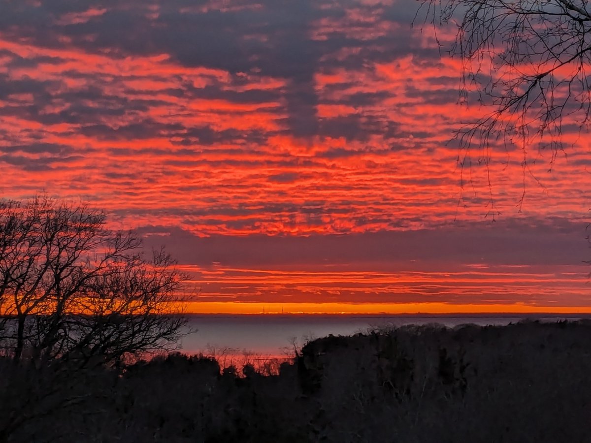
A little late posting this sun-sational #sunset over the Centerville River, (last week) but it was a beauty. #CapeCod
Eric Fisher Phil Burt - CapeCodWeather.Net ⛈️❄️🌪️🌬️🌊 Tim Kelley Peter Marteka Blair Perkins Eve Zuckoff Merrily Cassidy eweather Sunsets 🌅


A very brief but spectacular sunset from West Falmouth over Buzzards Bay Eric Fisher Phil Burt - CapeCodWeather.Net ⛈️❄️🌪️🌬️🌊

[10:30am] We have received several reports of an earthquake felt here in southern New England around 10:25am. Preliminary reports from the USGS indicate a M4.8 earthquake was recorded in north-central NJ. Please refer to the the USGS for more information! earthquake.usgs.gov/earthquakes/ev…
![NWS Boston (@NWSBoston) on Twitter photo 2024-04-05 14:34:31 [10:30am] We have received several reports of an earthquake felt here in southern New England around 10:25am. Preliminary reports from the @USGS indicate a M4.8 earthquake was recorded in north-central NJ. Please refer to the the USGS for more information! earthquake.usgs.gov/earthquakes/ev… [10:30am] We have received several reports of an earthquake felt here in southern New England around 10:25am. Preliminary reports from the @USGS indicate a M4.8 earthquake was recorded in north-central NJ. Please refer to the the USGS for more information! earthquake.usgs.gov/earthquakes/ev…](https://pbs.twimg.com/media/GKaIApfaMAAL6us.png)


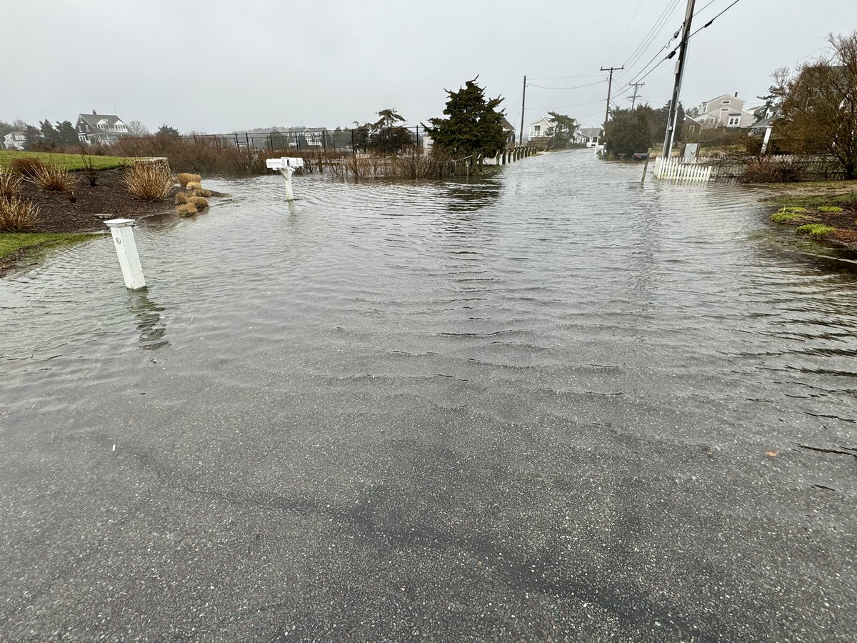
A bit of coastal flooding in Centerville this morning. When “street” turns into “river”. #capecod Phil Burt - CapeCodWeather.Net ⛈️❄️🌪️🌬️🌊 Eric Fisher Tim Kelley Blair Perkins Eve Zuckoff Merrily Cassidy The Colors of Chatham Four Seas Ice Cream


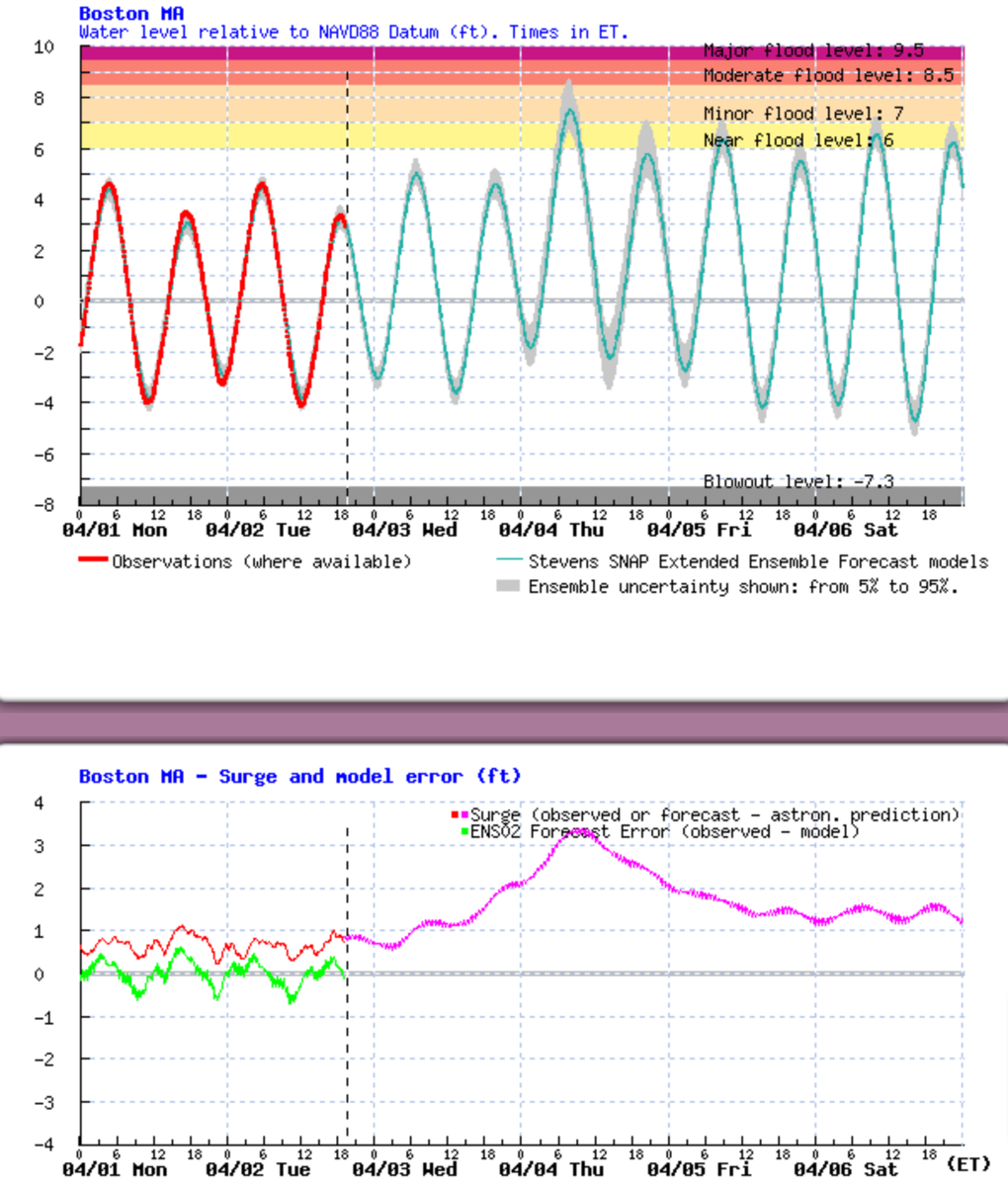
Tides are quite low (thankfully as this would be a serious mess otherwise) but even so... strong, long duration onshore flow + deepening storm is going to cause some coastal flooding issues. Surge guidance pushing 3+ feet Thu AM tide. NWS Boston has posted a Coastal Flood Watch
