Joe DeRosa(@derosajoe51) 's Twitter Profileg
Joe DeRosa

@derosajoe51

#kywx
PWS: TwinElmsBGKY
#ClassicalMusic nerd
Certified #SkyWarn observer NWS Louisville
#Woodworking
#ClimateChangeIsReal
#Astronomy
#WokeAsF*ck
#Seahawks

ID:474068520

calendar_today25-01-2012 16:31:38

71,2K Tweets

3,6K Followers

2,4K Following

wxornotBG(@wxornotBG) 's Twitter Profile Photo

Second half of April is upon us, so naturally we’ve got SPC outlooks for three straight days. Let’s break them down real quick. Small🧵

Today (Tue 4/16):
SPC’s included the NW half of WABBLES in the level 1/5 Marginal Risk. Strong storms to our west head our way overnight, but…

Second half of April is upon us, so naturally we’ve got SPC outlooks for three straight days. Let’s break them down real quick. Small🧵 Today (Tue 4/16): SPC’s included the NW half of WABBLES in the level 1/5 Marginal Risk. Strong storms to our west head our way overnight, but…
account_circle
wxornotBG(@wxornotBG) 's Twitter Profile Photo

After a gorgeous weekend around WABBLES, eyes turn to the potential for showers and storms by the middle of the week. Strong storms out west Tuesday night should be weakening as they try to move in, but more storms may form on Wednesday as the cold front works in. Those could…

After a gorgeous weekend around WABBLES, eyes turn to the potential for showers and storms by the middle of the week. Strong storms out west Tuesday night should be weakening as they try to move in, but more storms may form on Wednesday as the cold front works in. Those could…
account_circle
WX History(@weather_history) 's Twitter Profile Photo

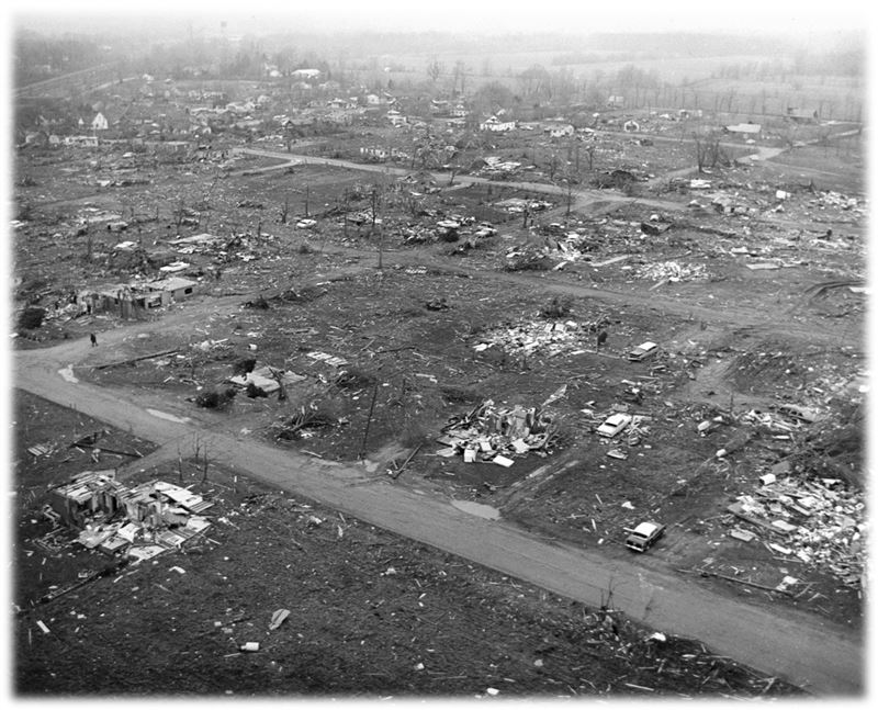
April 11, 1965:

One of the worst tornado outbreaks in US history struck the Great Lakes region. Nearly four dozen tornadoes (17 of which were rated F4) slammed numerous towns and cities, resulting in ~260 fatalities, >3400 injuries, and billions of dollars in damage.

April 11, 1965: One of the worst tornado outbreaks in US history struck the Great Lakes region. Nearly four dozen tornadoes (17 of which were rated F4) slammed numerous towns and cities, resulting in ~260 fatalities, >3400 injuries, and billions of dollars in damage. #wxhistory
account_circle
wxornotBG(@wxornotBG) 's Twitter Profile Photo

On this dreary day across WABBLES, let’s remember how stunning the eclipse was on Monday.

Taken in Southern Indiana under totality.

account_circle
Joe DeRosa(@derosajoe51) 's Twitter Profile Photo

We were about 95% towards totality in Bowling Green, and of course a couple of nasty clouds floated overhead at maximum. Despite that, I was able to grab a couple of shots, before and after maximum.
2024

We were about 95% towards totality in Bowling Green, and of course a couple of nasty clouds floated overhead at maximum. Despite that, I was able to grab a couple of shots, before and after maximum. #Eclipse2024 #SolarEclipse #SolarEclipse2024
account_circle
Joe DeRosa(@derosajoe51) 's Twitter Profile Photo

IMPORTANT NOTE:
To be included in today's , you must go outside and take off all of your clothes prior to , or you will be left behind!

IMPORTANT NOTE: To be included in today's #Rapture, you must go outside and take off all of your clothes prior to #totality, or you will be left behind!
account_circle
Joe DeRosa(@derosajoe51) 's Twitter Profile Photo

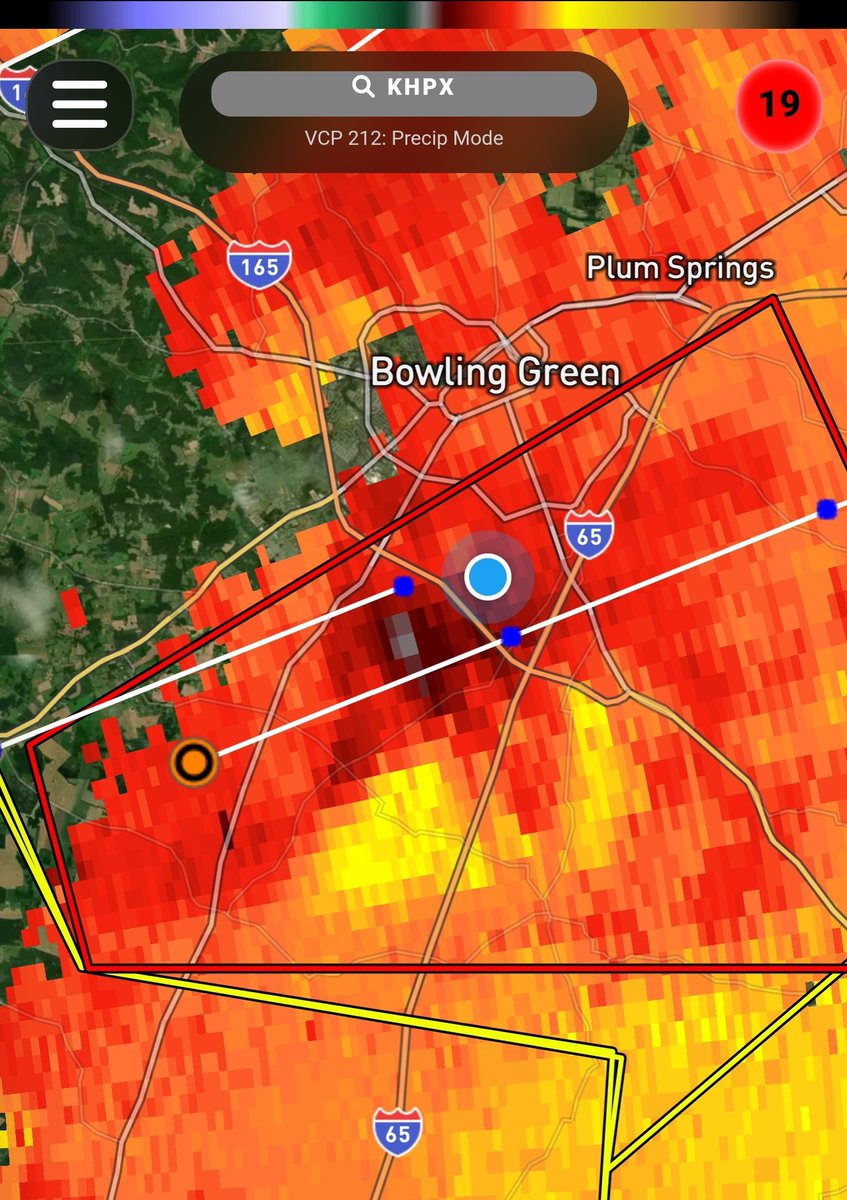
While Heather shot this video, I screenshot my doppler radar in velocity mode. About the same time, the wind made a noticeable shift in pitch for about 15-20 seconds. It's the 2nd time in a year that this almost identical scenario played out!
Chris Bailey🌪️🌩️ wxornotBG

While Heather shot this video, I screenshot my doppler radar in velocity mode. About the same time, the wind made a noticeable shift in pitch for about 15-20 seconds. It's the 2nd time in a year that this almost identical scenario played out! @Kentuckyweather @wxornotBG
account_circle
Joe DeRosa(@derosajoe51) 's Twitter Profile Photo

Currently, at my PWS just south of Bowling Green, we're seeing scattered heavy rain showers, with some ice pellets/small hail mixed in.

account_circle
Joe DeRosa(@derosajoe51) 's Twitter Profile Photo

My PWS just south of Bowling Green recorded 1.75' of rain since 7:00am CDT this morning. Two more lines of storms to go before we are in the clear.

account_circle
Joe DeRosa(@derosajoe51) 's Twitter Profile Photo

We picked up a quick 0.35' of rain in the BG area over the past hour, nothing severe. Dewpoint is currently 68°F. Hoping that the current cloud cover will maintain, since sunshine over the next couple of hours is the last thing we need.

account_circle
Chris Bailey🌪️🌩️(@Kentuckyweather) 's Twitter Profile Photo

Please stay weather aware Tuesday into Tuesday evening as severe storms and possible tornadoes take aim at our region.

There's a real chance we have multiple tornado warnings going at the same time Tuesday afternoon and early evening.

account_circle