Dr. Jessie K. Pearl(@swampmonstah) 's Twitter Profile Photo

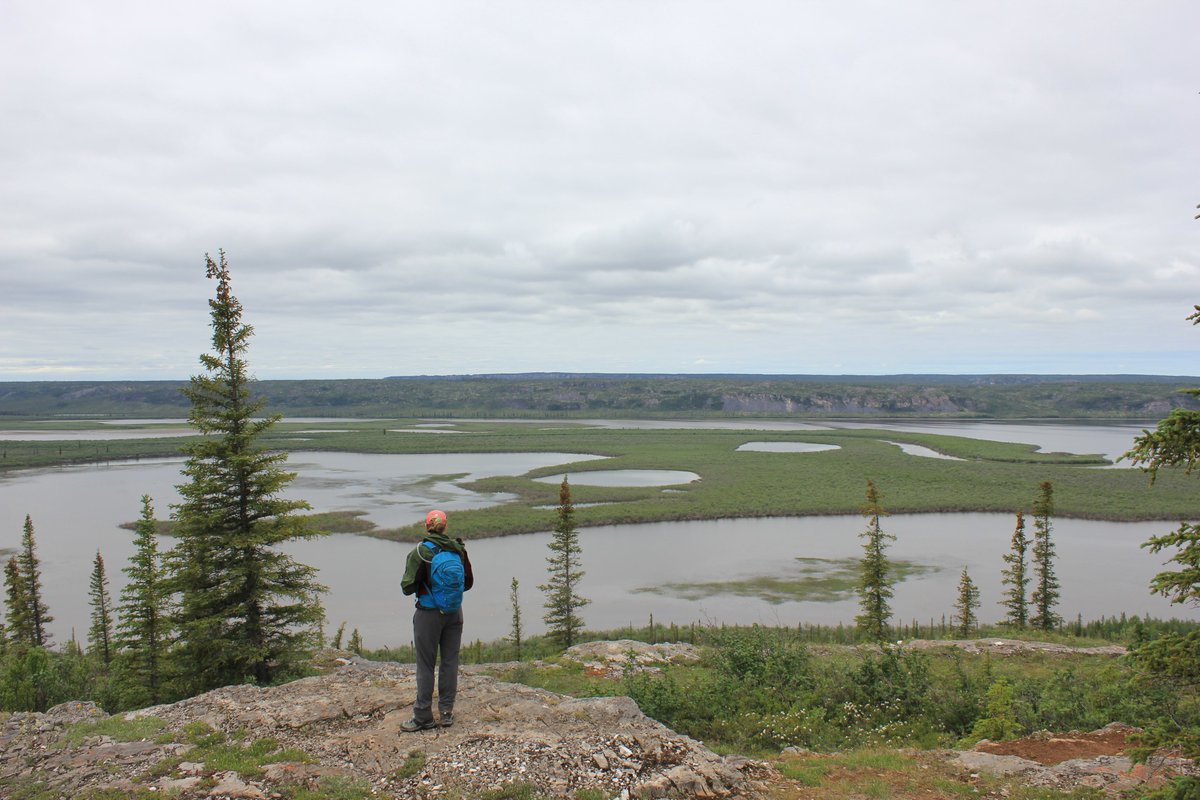
A few belated to start the field season: ๐ŸŸsurvey in Patagonia Sonoita Creek Preserve, and water sampling in the middle San Pedro. The Nature Conservancy in Arizona works to quantify the impacts of land use change, climate change, and restoration in these critical habitats!

account_circle
USGS National Uncrewed Systems Office (NUSO)(@USGS_UAS) 's Twitter Profile Photo

Need a UAS-themed team building activity?

Arrange your team to spell out a word, then snap an aerial photo! Thanks for the inspo, USGS in Idaho.

๐Ÿ“ท National Geospatial Program employees visiting Denver Federal Center last week spelled out 'USGS NGP'.

Need a UAS-themed team building activity?

Arrange your team to spell out a word, then snap an aerial photo! Thanks for the inspo, @USGS_Idaho.

๐Ÿ“ท National Geospatial Program employees visiting Denver Federal Center last week spelled out 'USGS NGP'. #FieldPhotoFriday
account_circle
Caltech Seismo Lab(@CaltechSeismo) 's Twitter Profile Photo

Maintaining SCSN's earthquake detection ability involves regularly upgrading seismic equipment. Stations like CI.ABL near Frazier Park, have evolved significantly since their installation. Seen here in 1991, and with a recent upgrade in 2021. .

Maintaining SCSN's earthquake detection ability involves regularly upgrading seismic equipment. Stations like CI.ABL near Frazier Park, have evolved significantly since their installation. Seen here in 1991, and with a recent upgrade in 2021. #FieldPhotoFriday.
account_circle
USGS Kansas(@USGS_KS) 's Twitter Profile Photo


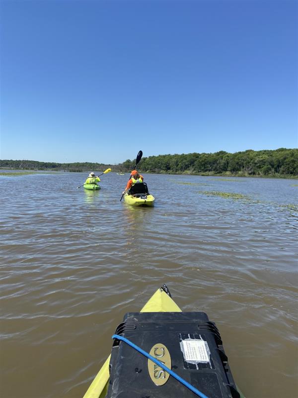
to kayaking in Kyle Marsh, a portion of the Perry Wetlands (391743095270600). The Algal and Environmental Toxins Unit was collecting hyperspectral radiometer data. Learn more about this site location here: ow.ly/USTt50RsqwC; (1/2)

#FieldPhotoFriday
#Flashback to kayaking in Kyle Marsh, a portion of the Perry Wetlands (391743095270600). The Algal and Environmental Toxins Unit was collecting hyperspectral radiometer data. Learn more about this site location here: ow.ly/USTt50RsqwC; (1/2)
account_circle
USGS South Atlantic Water Science Center(@USGS_SAWSC) 's Twitter Profile Photo

SAWSC Hydrologic Technician Eric Von Amsberg set up equipment to take vertical profile readings from the water column for water quality sampling on West Fork of Eno River Reservoir. ow.ly/Senp50RvHKQ. ๐Ÿ“ธRyan B Rasmussen.

SAWSC Hydrologic Technician Eric Von Amsberg set up equipment to take vertical profile readings from the water column for water quality sampling on West Fork of Eno River Reservoir. ow.ly/Senp50RvHKQ. ๐Ÿ“ธRyan B Rasmussen. #FieldPhotoFriday
account_circle
USGS Science in Colorado(@USGS_CO) 's Twitter Profile Photo

that our Hydrologic Technicians need to drill holes through ice to measure our rivers in Colorado? Tony was out this week making calibration measurement on the Williams Fork in some icy conditions!

#DYK that our Hydrologic Technicians need to drill holes through ice to measure our rivers in Colorado?  Tony was out this week making calibration measurement on the Williams Fork in some icy conditions!  #FieldPhotoFriday
account_circle
USGS Science in Colorado(@USGS_CO) 's Twitter Profile Photo

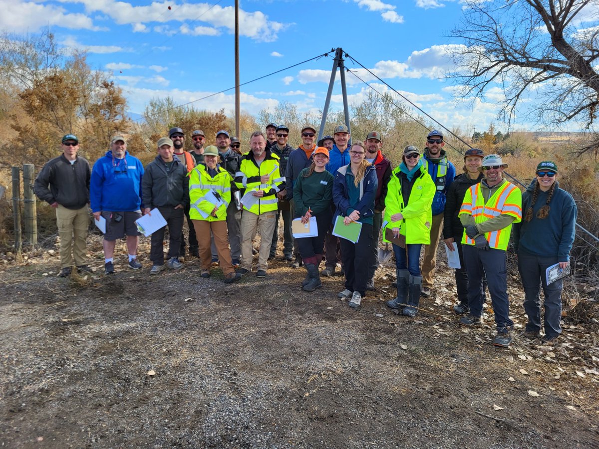
This week's comes in from our cableway inspection class in Grand Junction, where we had 19 students and each of our four offices represented! Thanks to our instructors Stephen, Frank and Seth, who traveled from other Water Science Centers to help!

This week's #FieldPhotoFriday comes in from our cableway inspection class in Grand Junction, where we had 19 students and each of our four offices represented!  Thanks to our instructors Stephen, Frank and Seth, who traveled from other #USGS Water Science Centers to help!
account_circle
Rick Moscati(@Zircon206) 's Twitter Profile Photo

Brachiopod samples from Anticosti Island, Quebec. ๐Ÿ‡จ๐Ÿ‡ฆ Collected from the ~444 Ma interval at the apex of the Hirnantian (Upper Ordovician) mass extinction event.

Brachiopod samples from Anticosti Island, Quebec. ๐Ÿ‡จ๐Ÿ‡ฆ Collected from the ~444 Ma interval at the apex of the Hirnantian (Upper Ordovician) mass extinction event. #FossilFriday #FieldPhotoFriday
account_circle
USGS Science in Colorado(@USGS_CO) 's Twitter Profile Photo

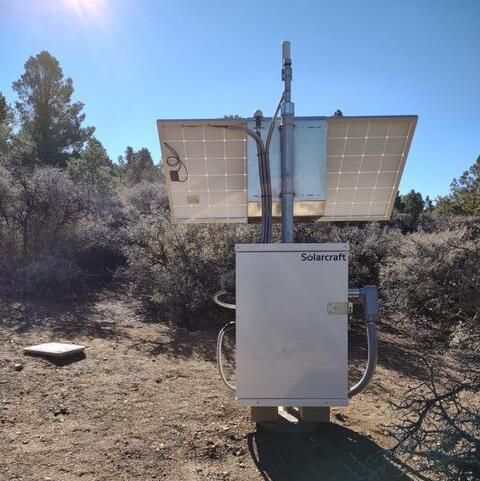
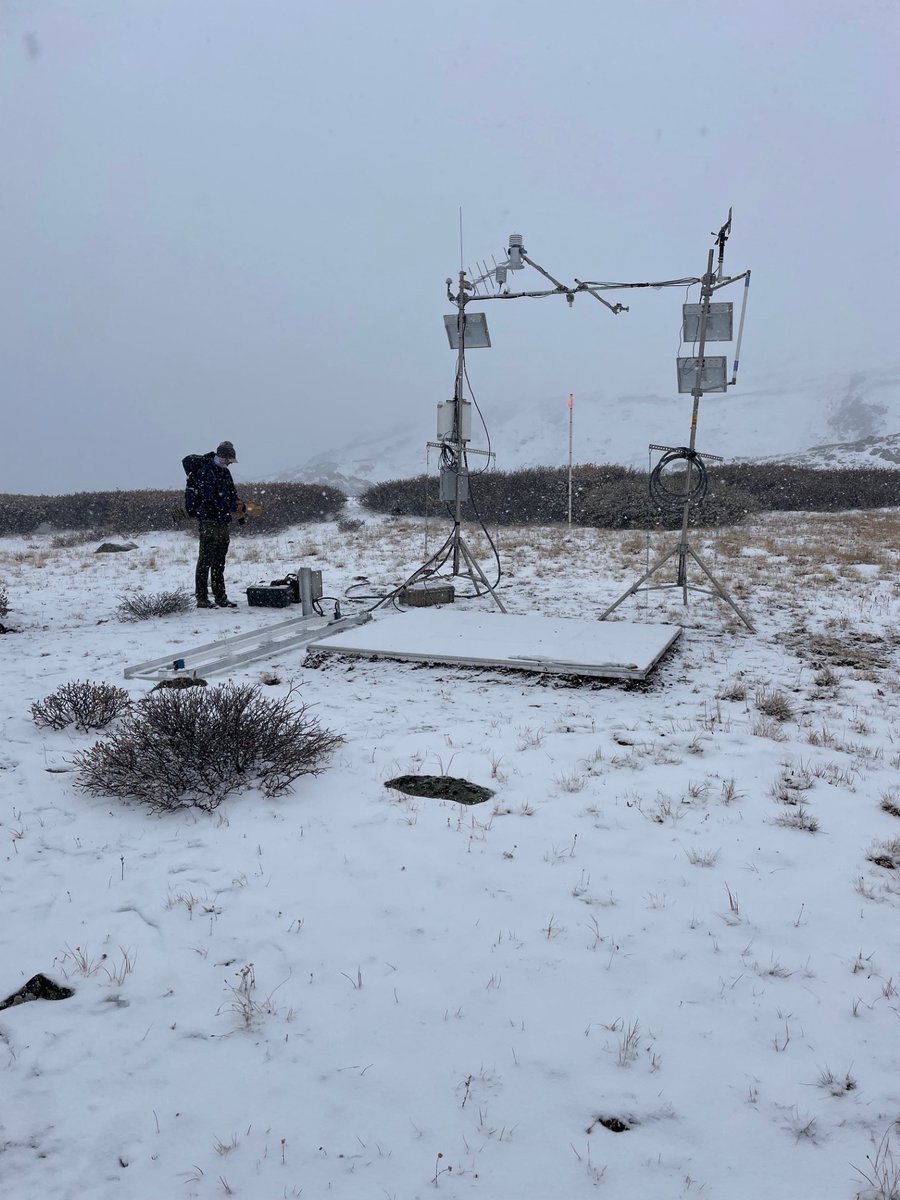
This comes from Taylor Pass Meteorological Station in . This Next Generation Water Observing System station tests water equivalent and snow depth equipment at a high elevation to understand above tree line snow conditions. ow.ly/uAYy50Qx0hJ

This #FieldPhotoFriday comes from Taylor Pass Meteorological Station in #Colorado. This Next Generation Water Observing System station tests #snow water equivalent and snow depth equipment at a high elevation to understand above tree line snow conditions. ow.ly/uAYy50Qx0hJ
account_circle
Tyler Hodder(@GeoHodder) 's Twitter Profile Photo

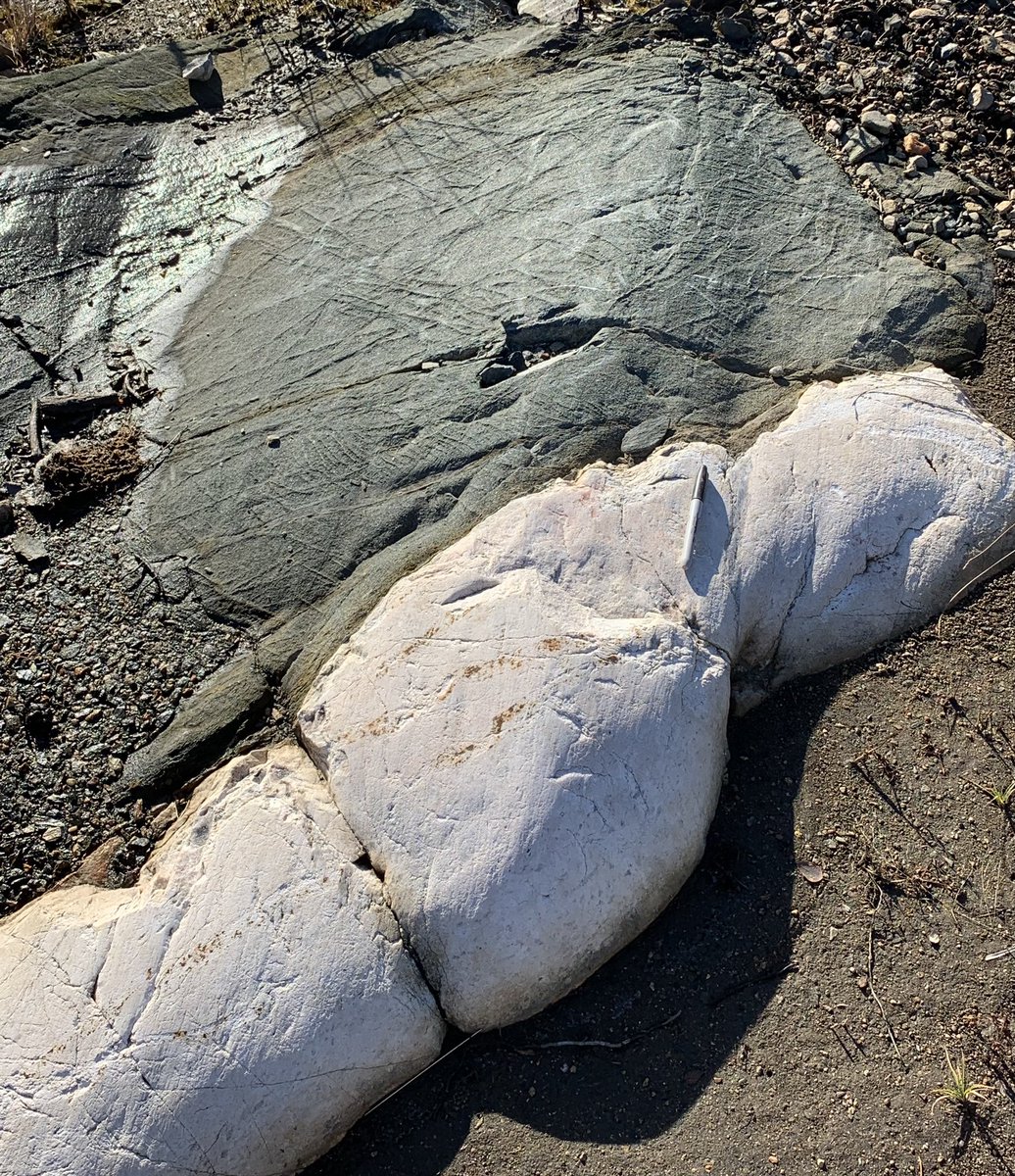
Nice glacially sculpted outcrop that highlights the contact between a pegmatite and the country rock, southeast Manitoba. These Li-bearing pegmatites (white rock) are a hot exploration target.

Nice glacially sculpted outcrop that highlights the contact between a pegmatite and the country rock, southeast Manitoba. These Li-bearing pegmatites (white rock) are a hot exploration target.  #MBGeology #FieldPhotoFriday
account_circle
USGS South Atlantic Water Science Center(@USGS_SAWSC) 's Twitter Profile Photo

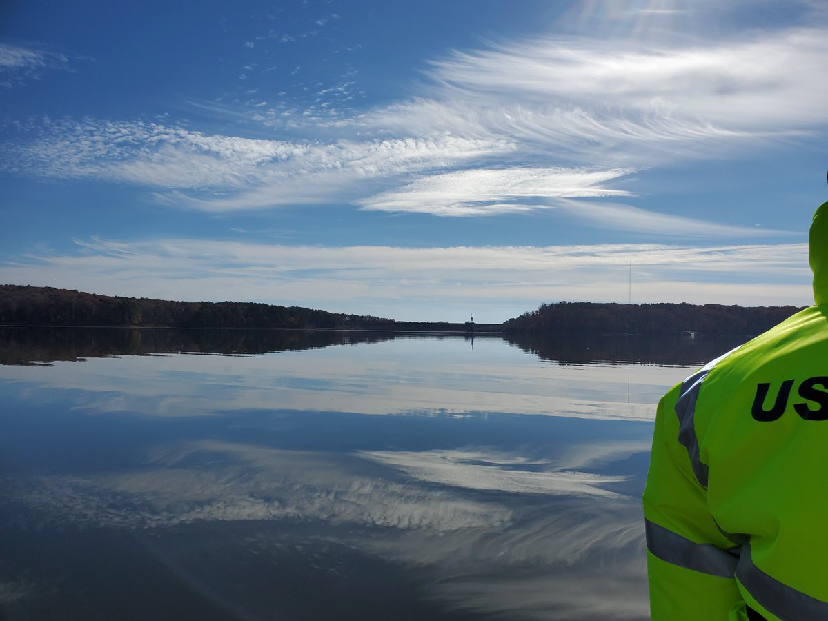
Hydrologic Technician Eric Von Amsberg took a boat to a sampling site on the Haw River arm of B. Everett Jordan Lake. The Dam is pictured here. ๐Ÿ“ธ Ryan Rasmussen. To see the data, click ow.ly/7YFr50R9J2j.

Hydrologic Technician Eric Von Amsberg took a boat to a sampling site on the Haw River arm of B. Everett Jordan Lake. The Dam is pictured here. ๐Ÿ“ธ Ryan Rasmussen. To see the data, click ow.ly/7YFr50R9J2j. #FieldPhotoFriday
account_circle
USGS South Atlantic Water Science Center(@USGS_SAWSC) 's Twitter Profile Photo

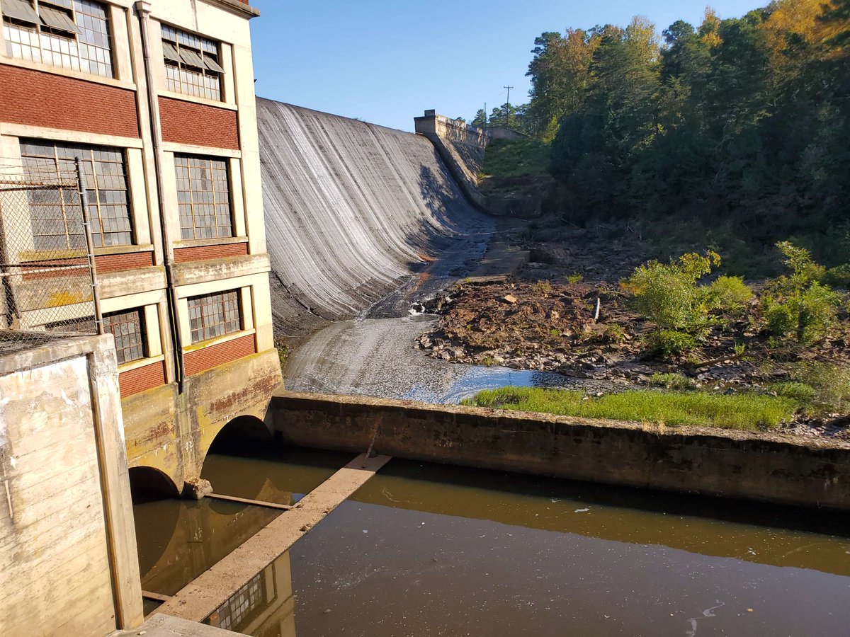
SAWSC Hydrologic Technician Ryan B Rasmussen (๐Ÿ“ธ) collected samples from Lake Michie dam near Bahama, NC. The dam side of the lake is pictured. Learn about the Triangle-Area Water-Supply Monitoring program at ow.ly/4bK350RiiQ3

SAWSC Hydrologic Technician Ryan B Rasmussen (๐Ÿ“ธ) collected samples from Lake Michie dam near Bahama, NC. The dam side of the lake is pictured. Learn about the Triangle-Area Water-Supply Monitoring program at ow.ly/4bK350RiiQ3 #FieldPhotoFriday
account_circle
Meteoritical Society(@MeteoriticalSoc) 's Twitter Profile Photo

Did you know that the study of meteorite impact craters here on Earth is a big part of what our society members do?! For here are some images from the Haughton impact structure ๐Ÿ‡จ๐Ÿ‡ฆ - check out these breccias, impact melt rocks & shatter cones!

Images: Gordon Oz Osinski

Did you know that the study of meteorite impact craters here on Earth is a big part of what our society members do?! For #FieldPhotoFriday here are some images from the Haughton impact structure ๐Ÿ‡จ๐Ÿ‡ฆ - check out these breccias, impact melt rocks & shatter cones!

Images: @drcrater
account_circle