Topography Of Ancient Rome
-
en.m.wikipedia.org/wiki/Topograph…
-
#GIS #spatial #mapping #cartography #mapmaking #ancientmaps #historicmaps #Rome #ancientrome #urban #topography #archaeology #epigraphy #philology #localhistory #city #urban design #antiquity #buildings #architecture


Antonio Petruccelli's lively pictorial map of Washington & Oregon showcases the Pacific Northwest's topography and various local activities such as fishing, logging, timber, ranching, and farming.
historicpictoric.com
#historicpictoric #history #historicmaps #vintage


Toponymy – The Study Of Place Names
--
en.wikipedia.org/wiki/Toponymy
--
#GIS #spatial #mapping #geography #placename s #placename #toponymy #propernames #study #history #historicmaps #origin #lingustics


Another amazing 🤩 #testimonial about our selection and expert staff. Stop in and see for yourself. We look forward to meeting you.
#antiqueprints #historic maps #maps #philadelphia #historic #printcollector


Explore the Indian subcontinent through our gallery of nine maps that illustrate the region's history and rich tapestry of diverse cultures, civilizations, and pivotal events spanning millennia.
#india #india nhistory #historicmaps #ancientmaps


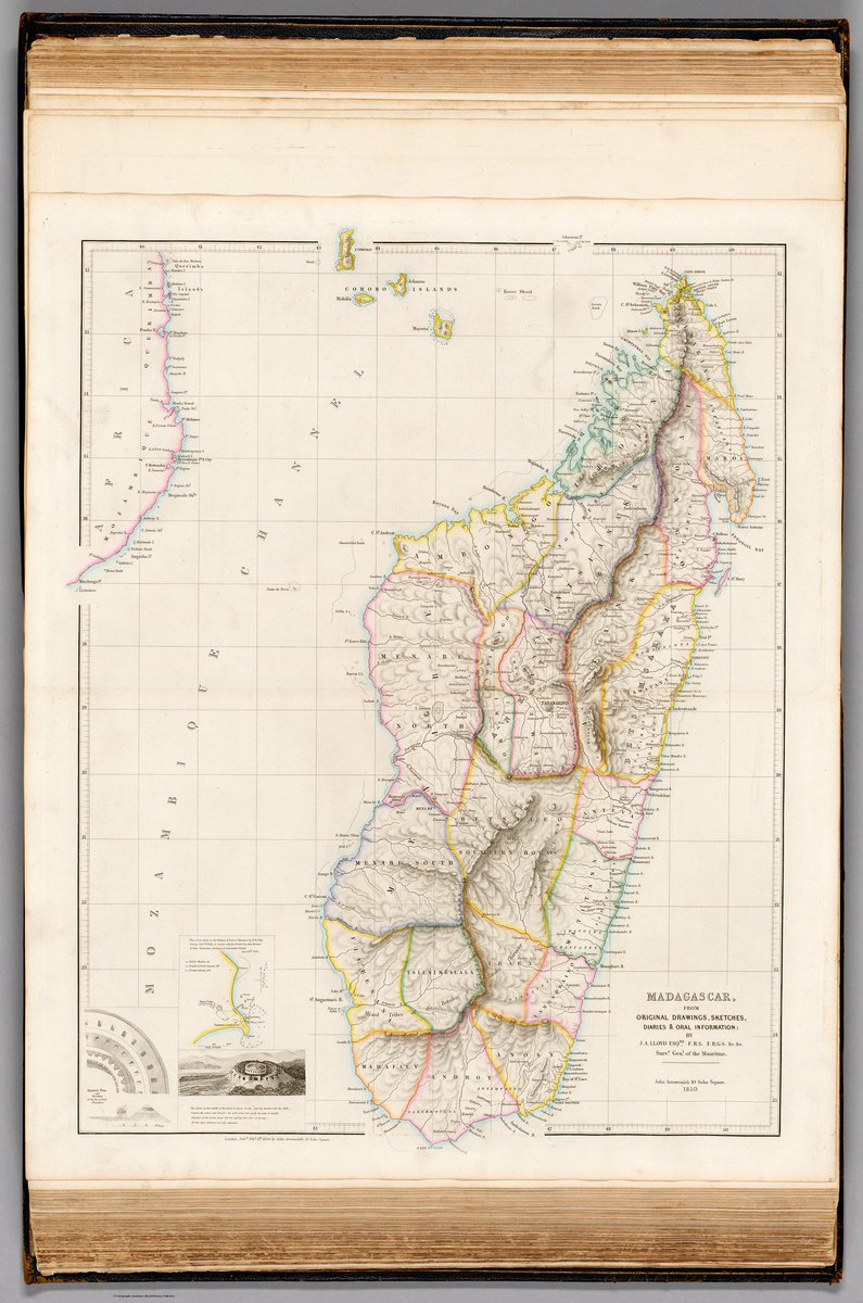
John Arrowsmith’s 1858 map from The London Atlas of Universal Geography details Madagascar’s topography, cities, and political boundaries, and includes an inset of Hova Fort Tamatave’s 1845 attack. 📜🌍
Source: David Rumsey #HistoricMaps #Madagascar #Cartography

Jane’s Favorite Find 🔎 #Abington & #Cheltenham are home for me. My grandfather’s Abington-based engineering firm had a copy of this Scott atlas; he & his siblings (my dad too) were all raised in the Weldon section of Abington. Shop print: bit.ly/3krapIb
#historicmaps


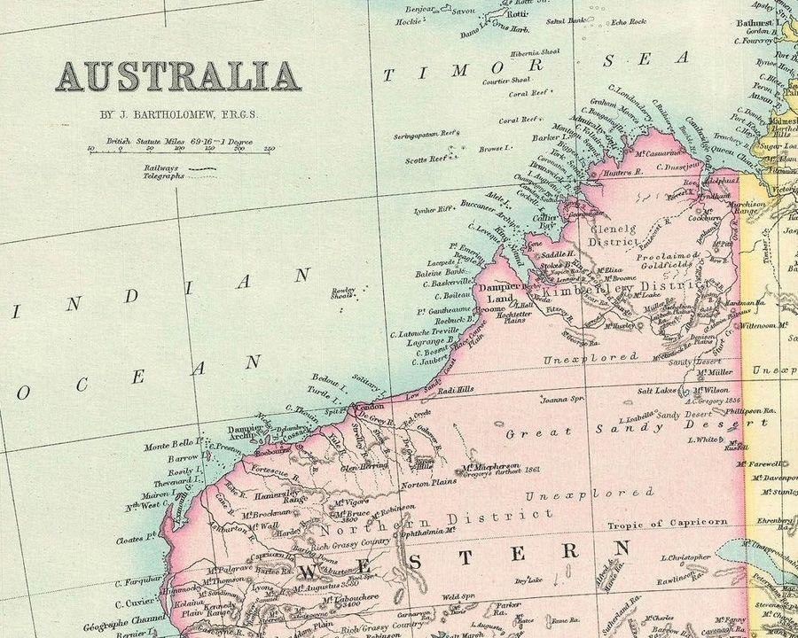
The 1890 antique map by Bartholomew offers a detailed depiction of Australia, ranging from Torres Strait in the north to Bass Strait in the south, and includes the five provinces of Australia.
historicpictoric.com
#historicpictoric #history #historicmaps #vintage #wallart

“Texas Strong” 24” x 36” print to purchase this print head to Texas section page 2 wwwcrouchhistoryart.com #texashistory #sweetheartofthewest . #mapstwitter #oilandgasmaps #historicmaps #oilandgaspresidents #OilNews #FuelingTheFuture #fuelingamerica #mapstagram


Celebrate the Earth Today and Everyday!
historicpictoric.com
#earthday2024 #celebrateearth #historicpictoric #history #historicmaps #vintage #wallart


This celestial map, dating back to around 1823, beautifully captures the constellations of the northern night sky with Polaris, the Northern Star, at its core.
historicpictoric.com
#historicpictoric #history #historicmaps #vintage


Laura Childs sent in this photo, of one of our wallpapers up in her lovely show home! Very classy!
Shown here is the OS Historic 1896-1911 One-Inch To The Mile Map. Printed on Ready Pasted Wallpaper.
#HistoricMaps #WallOfTheDay #Historical #RedcliffeImaging #RedcliffePrinters


W. Lowery's circa 1840 map of the Solar System is a detailed map portrays the orbits of the primary planets moved to the plane of the ecliptic, marking the aphelion.
historicpictoric.com
#historicpictoric #history #historicmaps #vintage #wallart #history facts


The Battle of Culloden took place #OTD 1746.
This plan,thought to have been created by John Finlayson in 1746, details the movement of the armies before and after the battle, as well as how the troops were drawn up. maps.nls.uk/view/74400862
#Jacobites #Culloden #HistoricMaps


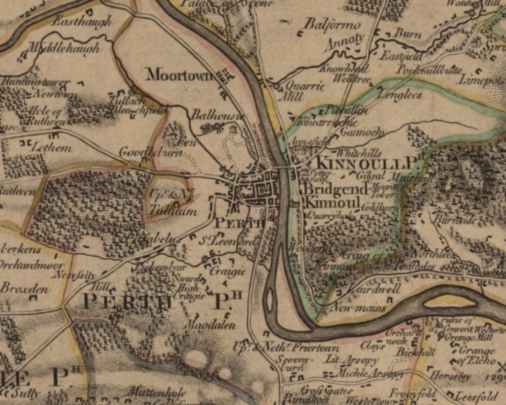
This #MapMonday we are admiring the fair city of Perth as shown on James Stobie's The counties of Perth and Clackmannan, published 1783.
maps.nls.uk/joins/664.html
#HistoricMaps #Perth #Perth shire

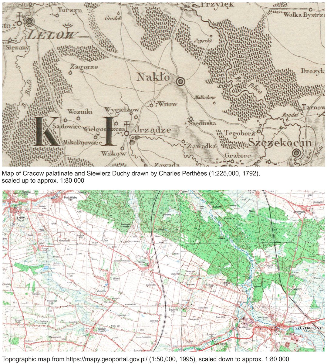
#Mapping Imprecision: How to #Geocode #Data from Inaccurate #HistoricMaps
By Tomasz Panecki
👉mdpi.com/2228474
#toponyms #GIS #geocoding #maps
