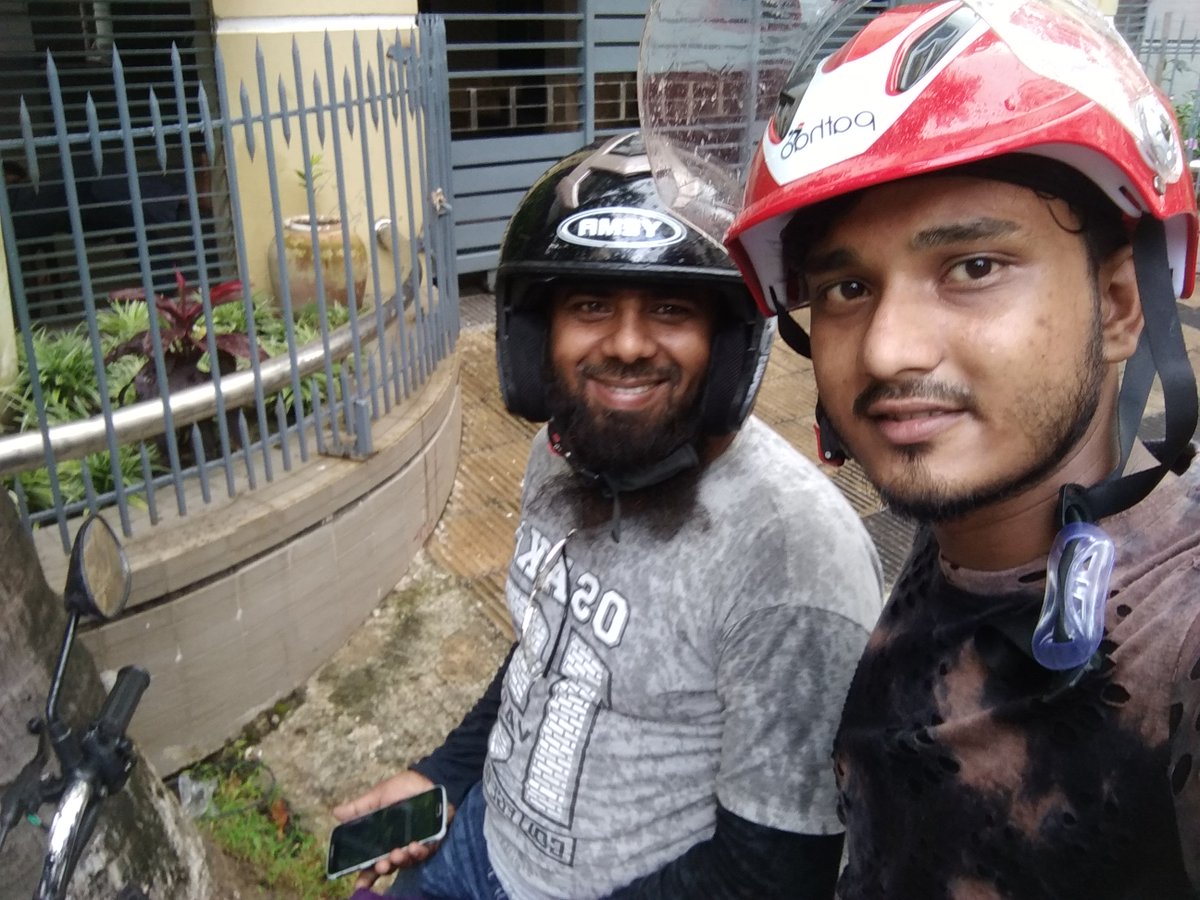
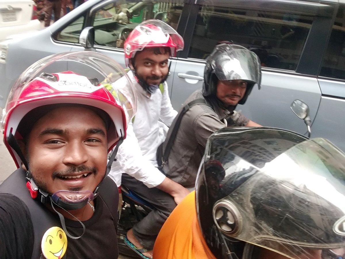
Payment thik e hoba, but no cash!!!!! Only Pathao pay is real. #SafetyFirst #WearHelmet
#PathaoPay #EasyPay
#PathaoPay Now
#MappingTeam

#EMSN186
During December 2023 & January 2024, the state of North Rhine-Westphalia in #Germany 🇩🇪 was affected by a severe flooding episode 🌊
Our #MappingTeam was tasked to assess the extent of the event in 5⃣ areas of interest
More at 👇
…skandrecovery.emergency.copernicus.eu/EMSN186/report…

#EMSR717
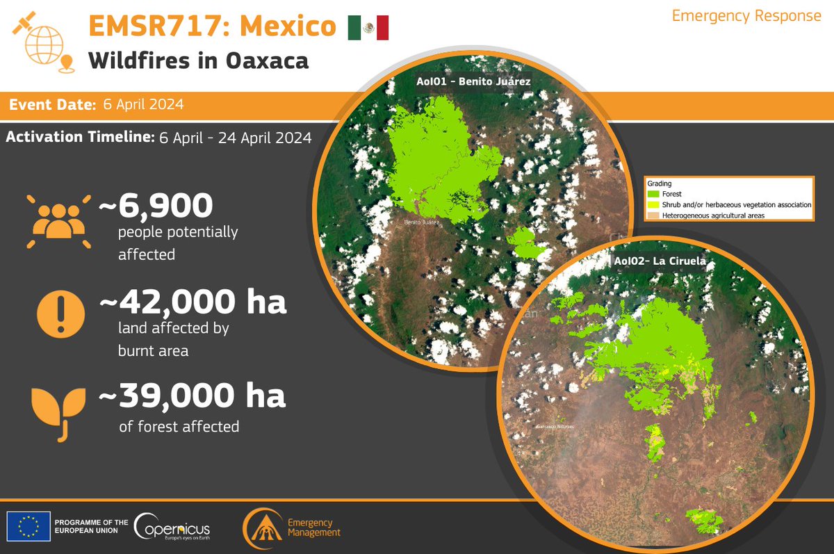
Our #MappingTeam delivered 24 products to support the emergency response efforts for the #wildfires 🔥 in Oaxaca, #Mexico 🇲🇽
➡️Over 42,000 hectares of burnt area were detected
Read about our activities at👇
rapidmapping.emergency.copernicus.eu/EMSR717/report…

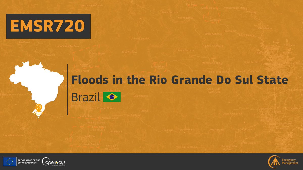
#EMSR720 #Brazil 🇧🇷
On 2 May, Authorities in Rio Grande do Sul State declared a state of emergency after #floods & mudslides caused by heavy rains claimed at least 30 lives
Our #MappingTeam has been activated to monitor the consequences
Updates at🔽
rapidmapping.emergency.copernicus.eu/EMSR720/report…

#EMSN190
Since 2021, the water level of Lake Tanganyika in #Burundi 🇧🇮 has been rising
Our #MappingTeam has been tasked to provide a #flood risk assessment based on different scenarios of water level rise 🌊
Read more in the Situational Reporting 👇
…skandrecovery.emergency.copernicus.eu/EMSN190/report…

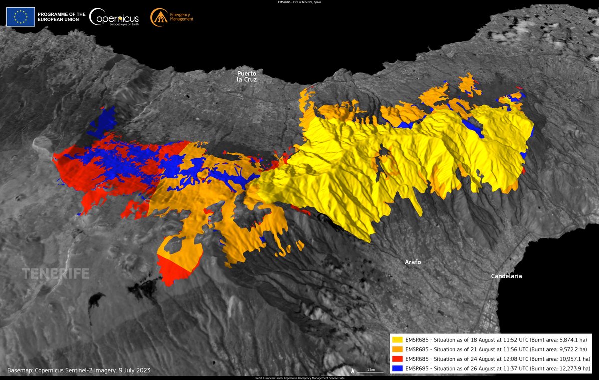
#DYK that #wildfires burnt over 1,000 km² of land in #Spain 🇪🇸 in 2023 ❓
The largest fire 🔥 affected over 120 km² of land in #Tenerife , in which our #MappingTeam was activated to support the emergency response
Read more in our latest #EFFIS report 👇
e.copernicus.eu/EFFIS_Advanced…

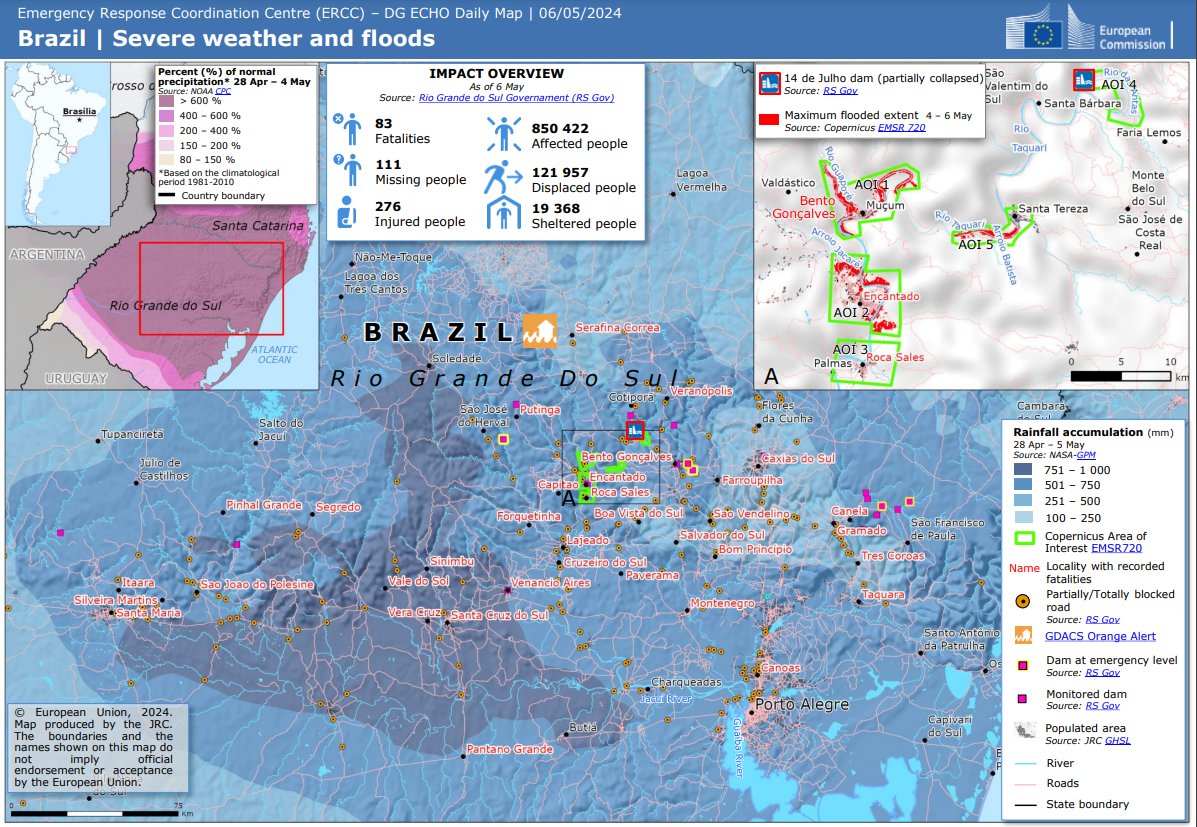
The unprecedented #floods 🌊 in the #RioGrandedoSul State, in #Brazil 🇧🇷, affected +850,000 people
🔽The EU Civil Protection & Humanitarian Aid 🇪🇺 #ERCC Daily Map reported on these events including the activities carried out by our #MappingTeam within the activation #EMSR720
More at👇
rapidmapping.emergency.copernicus.eu/EMSR720/report…

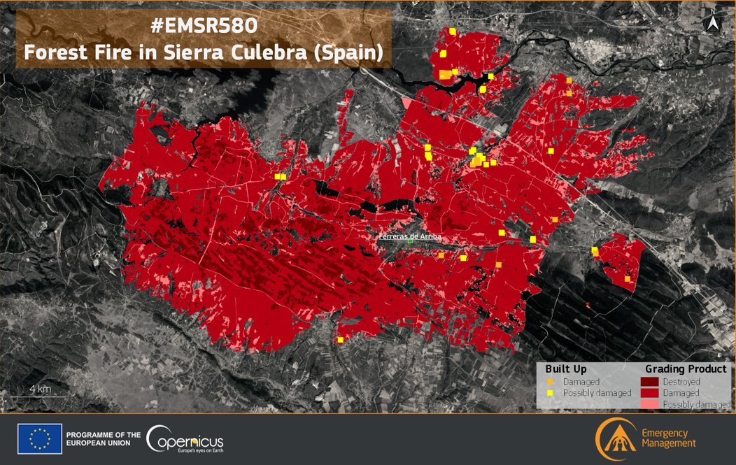
#EMSR717 #Wildfires in #Mexico 🇲🇽
Our #MappingTeam has now delivered its Grading Products for both Areas of Interest
The Land Use Land Cover (LULC) assessment indicates that nearly 40,000 hectares of forest have been affected in both AoIs 🔥
More at👇
rapidmapping.emergency.copernicus.eu/EMSR717/report…


#CEMSYearInReview - June
In June 2022, our #MappingTeam has been activated 7⃣ times for #wildfires 🔥 in #Spain 🇪🇸
Our activities carried out in support of emergency responders were detailed in an article👇
e.copernicus.eu/CEMS_IB156

Field surveyors mapping water points. Michael Yani is part of the HOT Uganda Surveying team. Moses Alex is a boda rider from the current mapping area, his #localknowledge helps secure Michael through any unfamiliar terrain #motorcyclemapping #mappingteam #hotosm #collaboration
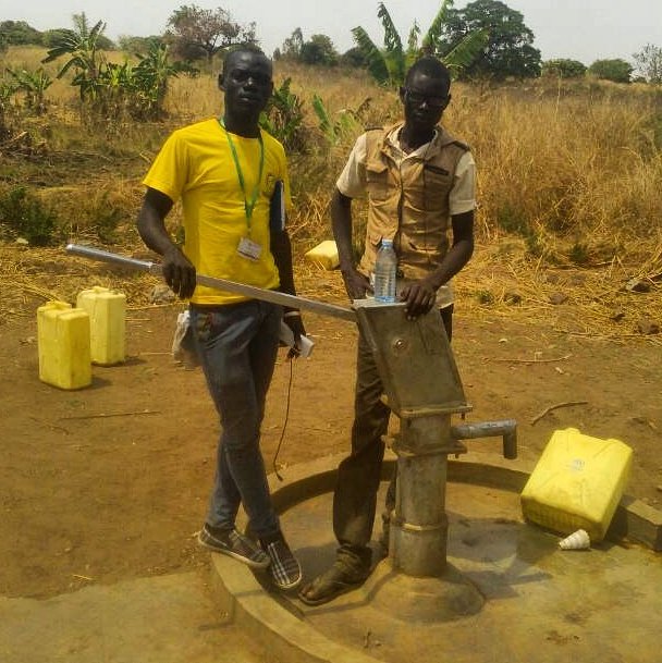

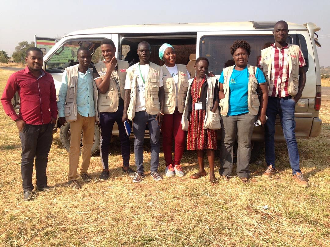
Some of the great HOTOSM Uganda Surveyors and Mapping Supervisors team who are currently mapping Arua district. From left to right: Deo, Samuel, Allan, Michael, Shamillah, Victoria, Harriet and Baba. Preparing for the day's fieldwork #mappingteam #hotosm #surveying
