Incredible doorbell camera video of the tornado in Wilkesboro yesterday, just as it first touched down south of town!
Video from John Vannoy
WXII 12 News NWS Blacksburg #NCwx

Snow picked up enough to whiten things a bit on Beech Mountain. 4600’ in Watauga County. 33 degrees. #ncwx #snow WataugaOnline NWS Blacksburg NWS GSP


Ummmm. Big ole flakes on Beech Mountain at the moment! WataugaOnline NWS Blacksburg NWS GSP #ncwx #snow


Dramatic doorbell camera video of the tornado approaching John Vannoy’s home in Wilkesboro yesterday!
Watch the debris fly around and the power line snap at the end of the video…
WXII 12 News NWS Blacksburg #NCwx


Pulled a time-lapse from one of our cameras in North Wilkesboro, and I believe we caught the tornado yesterday!
This is looking south toward Rose Glen Village and 421. You can see the tornado come out of the rain when the video pauses.
WXII 12 News NWS Blacksburg #NCwx

The Moravian Falls, NC supercell moments before producing a tornado. Taken at 6:29 PM. #ncwx #StormHour #wxtwitter


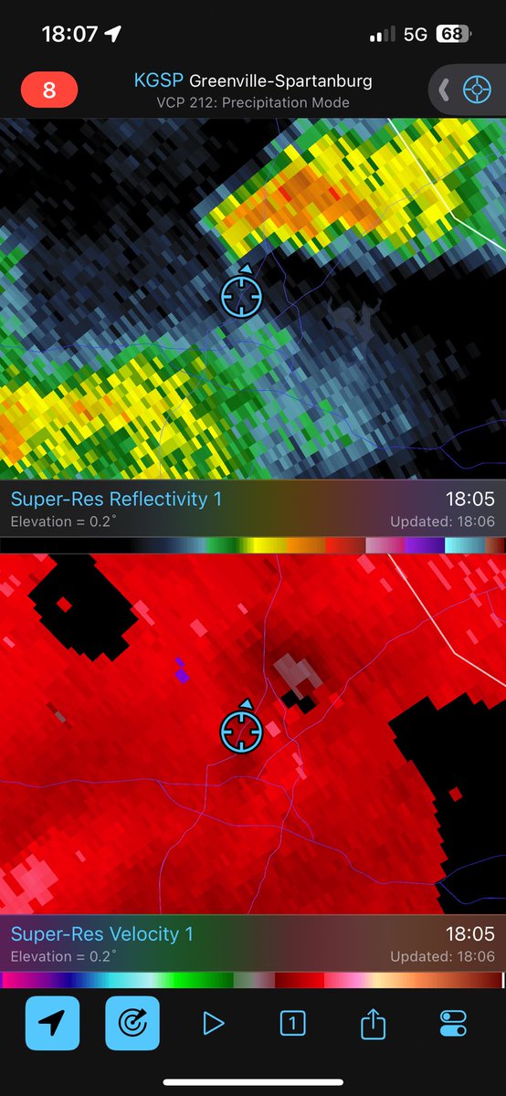
Clear slot and weak rotation in Shelby a little over an hour ago
#wxtwitter Al Conklin WBTV Brad Panovich #ncwx Mitch West
