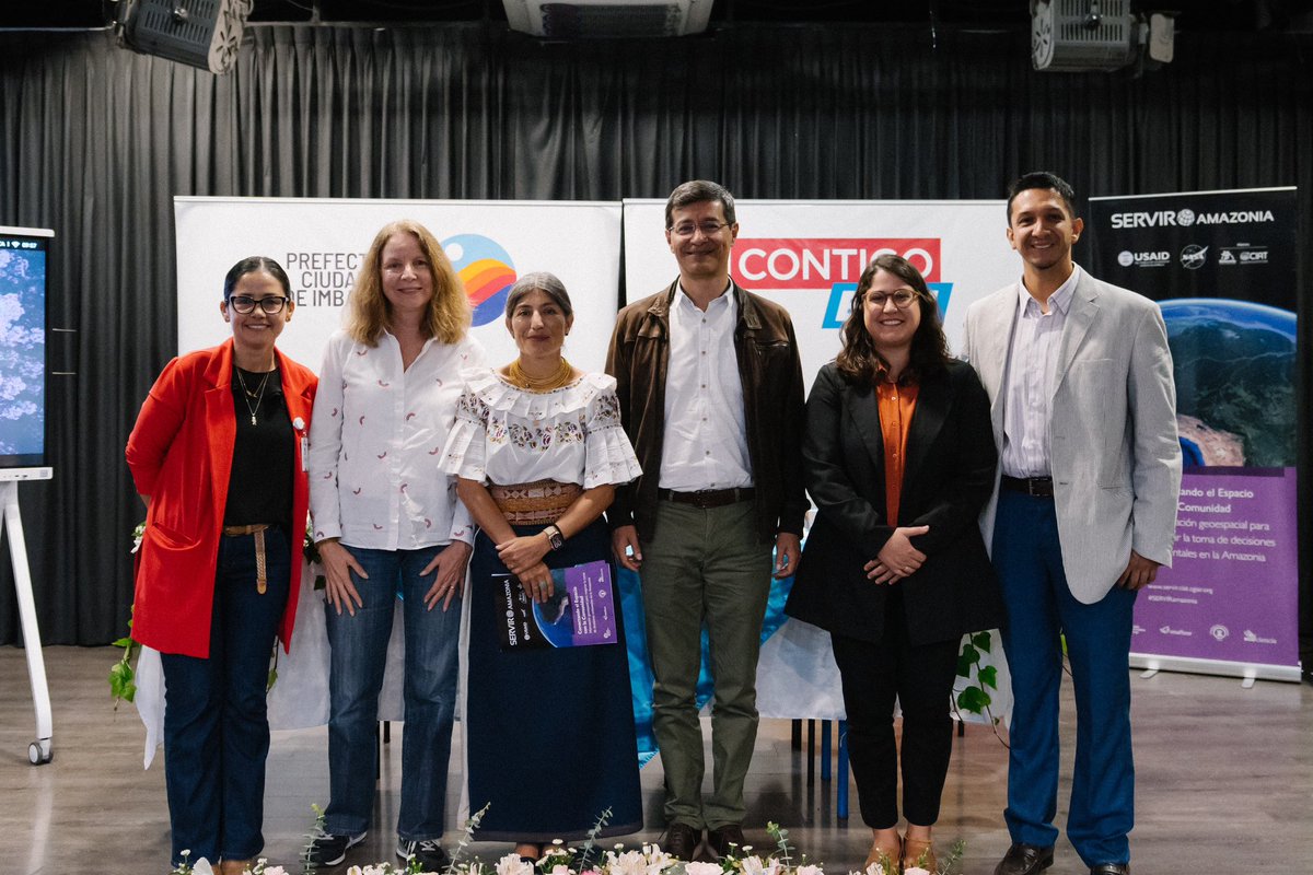
🔴🇪🇨 Fundación EcoCiencia #SERVIRAmazonia Program’s local partner in #Ecuador and Spatial Informatics Group (SIG) along with Prefectura Ciudadana de Imbabura have co-developed a methodology that will contribute to land #covermapping . A freely accessible web platform, producing the first land cover map with a 10-meter res. 🙌🏼


I'm going to quit school and become a professional map maker. #covermapping instagr.am/p/P-5DRlHAxD/

Grand Piano #3dmapping #projection by Plan A #grandpiano #covermapping #michelfadel #contentproduction #expriencedesign #events #led #led design #festivals #weddings #bridalentrance #art #visualart #studio … instagram.com/p/B1-em6En6ea/…

Great results from this fun passive seismic project! We mapped the thickness of slow-Vs cover overlying an Mn-bearing banded iron formation in South Africa. sisprobe.com/applications/c…
#ExploreDeeper