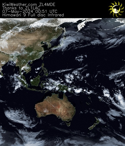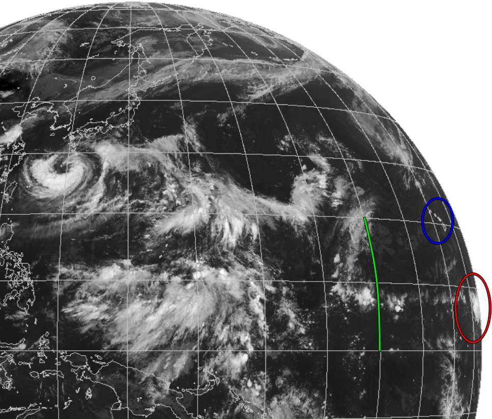

The cloud-top gravity waves were more apparent in higher-resolution #Himawari9 Visible images immediately after sunrise: cimss.ssec.wisc.edu/satellite-blog…


Follow the #Dust 2024.04.24-25
📸🛰 #Sentinel2 , #Sentinel3 , #Himawari9
Footage: Copernicus EU Sentinel Hub 気象庁防災情報


Tropical Cyclone #Anggrek 🌀wandering the southern Indian Ocean, has been intensifying today, satellite estimates have it at high-end category 2 on the Saffir Simpson Scale and it could be quite strong for several days. Seen by #Himawari9 🛰️today. #CycloneAnggrek

High tide at oak beach, at Cairns Australia breached shore line for first time due to Cyclone.
Ocean line is reacting and shown in visuals.
#cyclonejasper #Himawari9 #Jasper

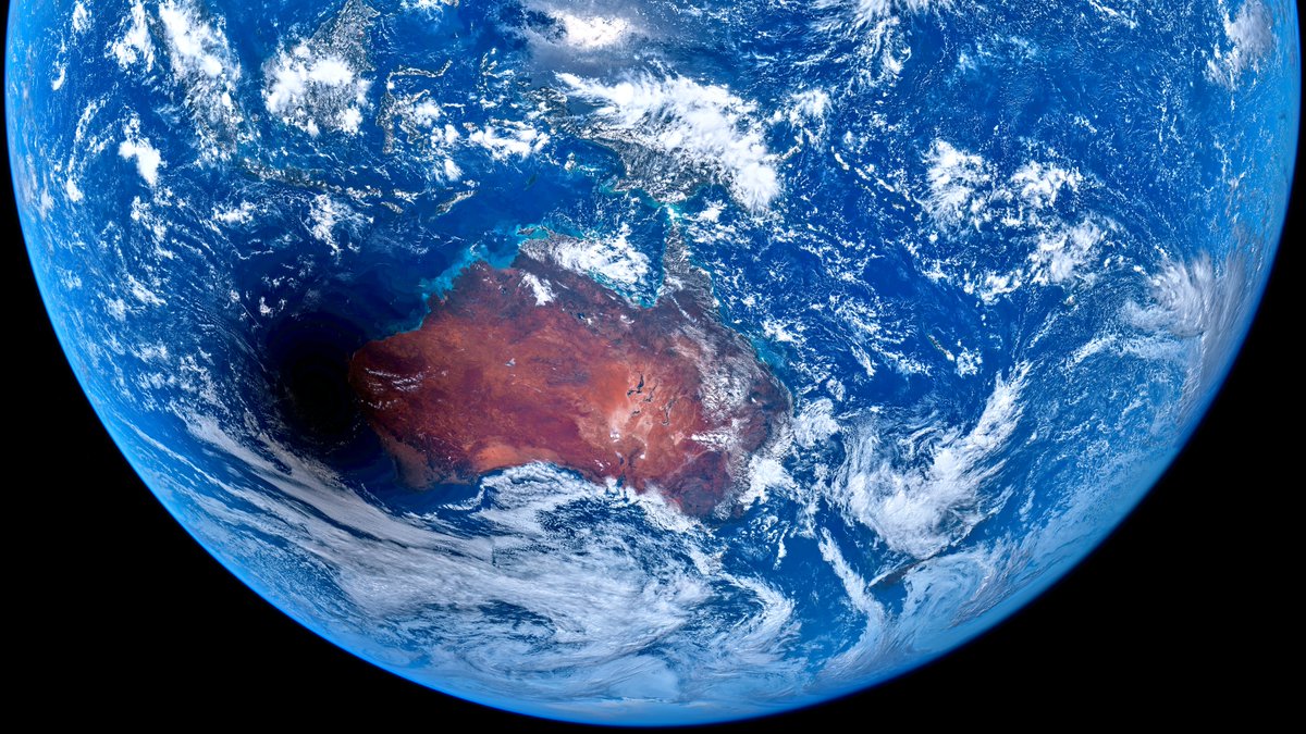
Solar eclipse last Tuesday (20th) over Western Australia. Captured from space. #himawari9 #WesternAustralia


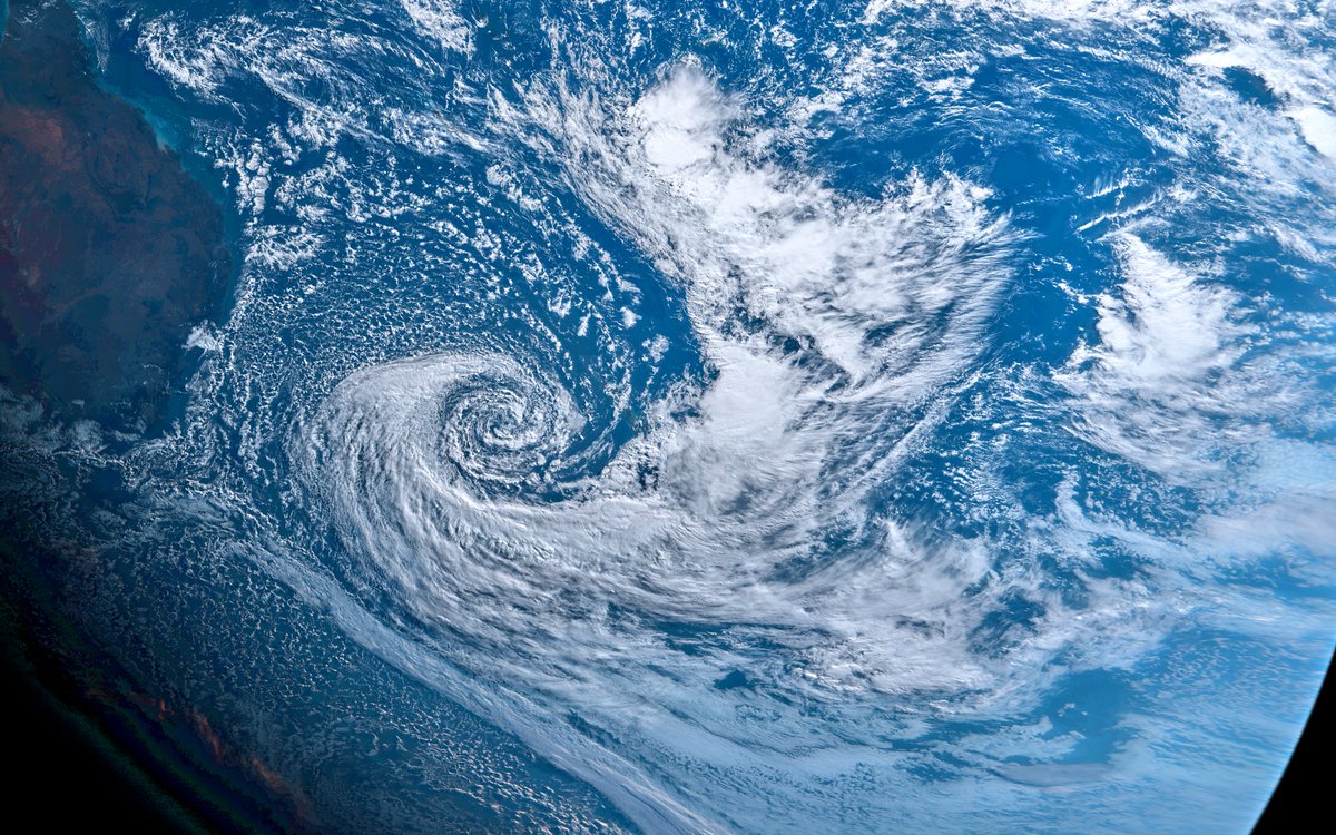
New Zealand getting bit of a raw deal at the moment. #NewZealandWeather #Himawari9 WeatherWatch.co.nz

Tropical Cyclone Mocha. Currently in the Bay of Bengal, by Myanmar (Burma). Right at the edge of Himawari 9 coverage. #himawari9 #CycloneMocha
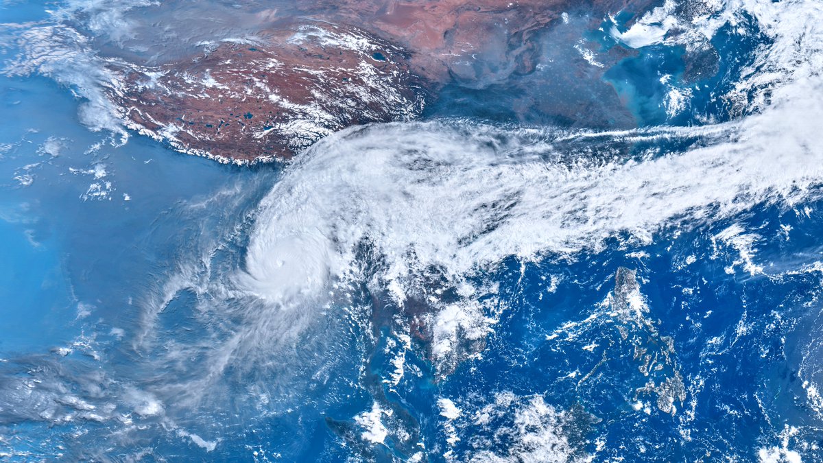


Witness the awe-inspiring eruption of Mount Ruang volcano in Indonesia captured by the Himawari-9 weather satellite.
The massive ash plume, reaching 70,000 feet, may impact atmospheric conditions.
#MountRuang #VolcanoEruption #Himawari9 #IndonesiaVolcano


Here’s the Himawari9 SO2 (7.3 µm) retrieval. In these highly water-rich atmospheres the broadband retrieval is likely to be biased low. Note the changes in slope at ~16, ~20 and ~21 UTC (cf. eruption rate) Prof. Simon Carn Andrew Tupper Dr. Thomas J. Aubry


Talk about a cosmic cameo!
Yesterday, Japan's #Himawari9 satellite captured the moon photobombing Earth as it snuck past its imager's southern field of view.

