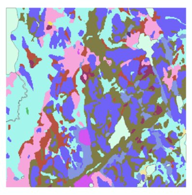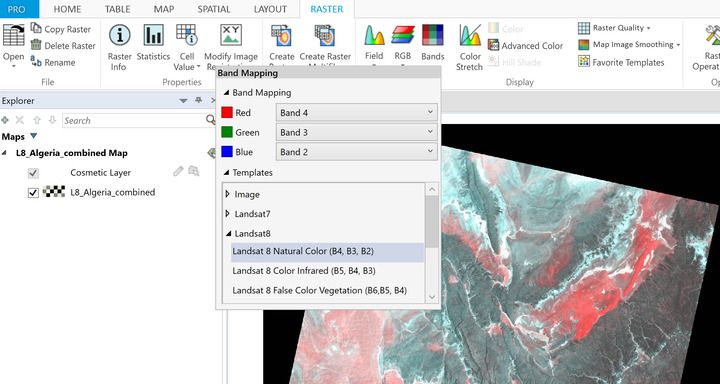
Baby steps but getting there. I must say I really enjoy learning new skills.
#ArcGIS #rasterGIS #newskills #learningisgrowing


A brief introduction to working with and viewing #multispectral imagery - like #Landsat or #Sentinel - in @MapInfo Pro Advanced buff.ly/2FlJIdJ #GIS #RasterGIS


Denmark DTM – Building a trillion cell terrain raster - using #dtm from @SDFEtweet/Danmarks Højdemodel in @mapinfo community.pitneybowes.com/communities/co… #gis #rastergis


Coğrafi bilgi sistemi (GIS), gelişmiş haritalama ile ilgili çeşitli veri biçimlerini işleyen bilgisayar tabanlı bir sistemdir. #yildizteknoloji #teknoloji #rastergis #haritalama #veri


In this week's #MapInfoMonday post, Peter H. Møller dives into the Raster Calculator in #MapInfoPro and the use of the Any function to match a value against one or more ranges of values. bit.ly/3vG9C8L #GIS #RasterGIS #SpatialAnalytics


TGIF! But don't leave for your weekend before reading this week's last #MapInfoMonday post. Today, we look into the MapInfo Virtual Raster (MVR) that we added support for in #MapInfoPro v2021. Have a great weekend! #RasterGIS community.precisely.com/communities/co…


GIS Africa Imagery resources #geotripz #rasterGIS #hadoopgis #bigdata #gamification #tourism4peace un-spider.org/links-and-reso…


