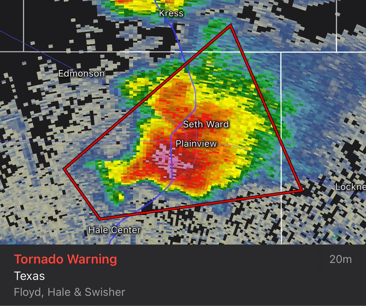
TORNADO WARNING for NW Floyd, NE Hale and SE Swisher County until 5PM. At 4:35 PM CDT, a CONFIRMED tornado was located 4 miles north of Hale Center, moving east at 25 mph. #texasweather #texaspanhandle #txwx #amarillo #amarillo texas #okwx #kswx #severeweather #tornadowarning

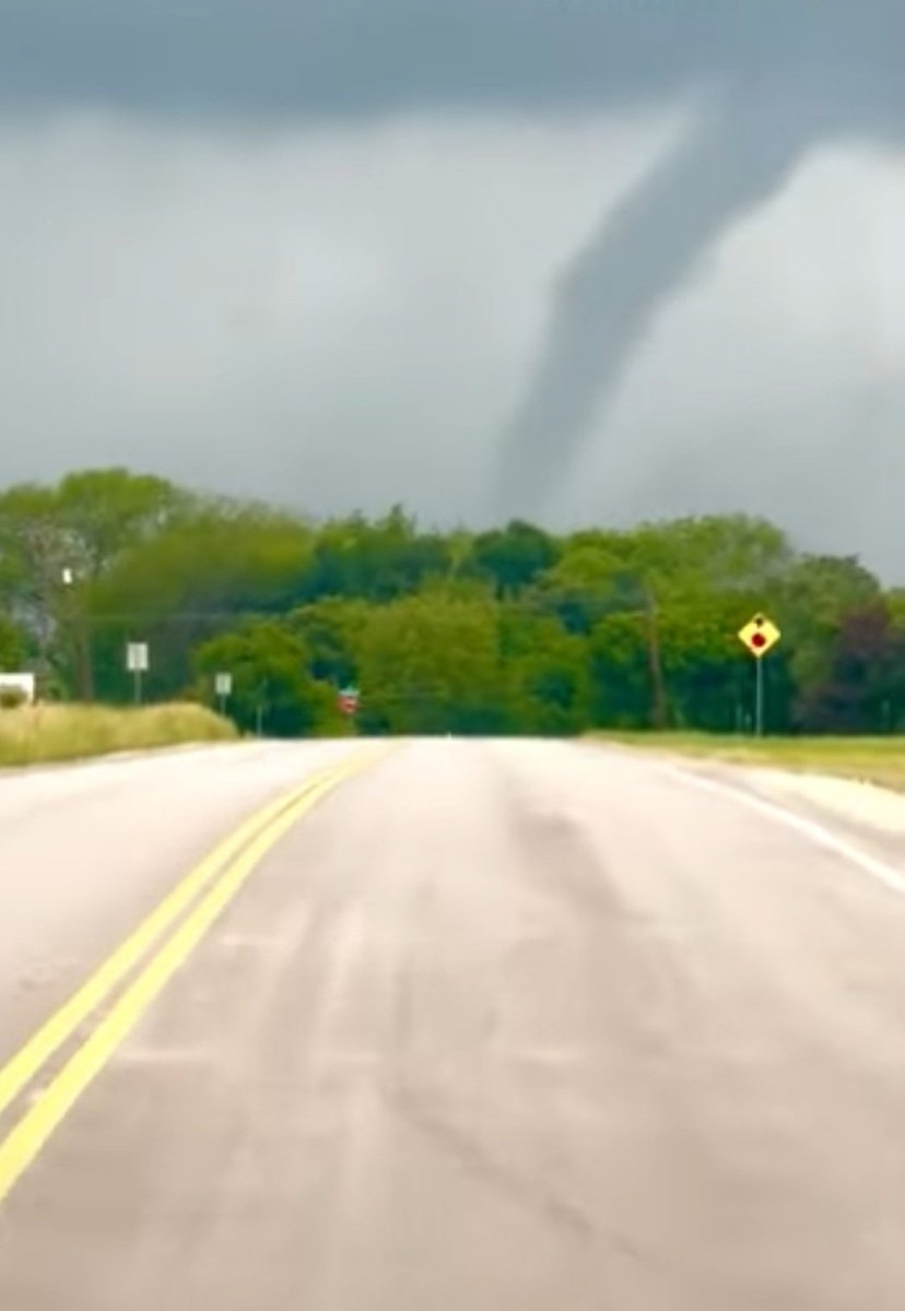
🎥 WATCH: Storm Chaser Adam Lucio captured quick cell phone footage of a large Silver, Texas, tornado about 20 minutes ago. Reports indicate a massive wedge tornado now west of Robert Lee, TX.
#TexasWeather #TornadoAlert #StormChaser #SevereWeatherWarning #RobertLeeTX


Look like it is going to be a rainy, stormy, spinny spinny doom doom day. Be safe out there my friends - where ever you might be today.
Jesus loves you
#springweather #texasweather #utahweather
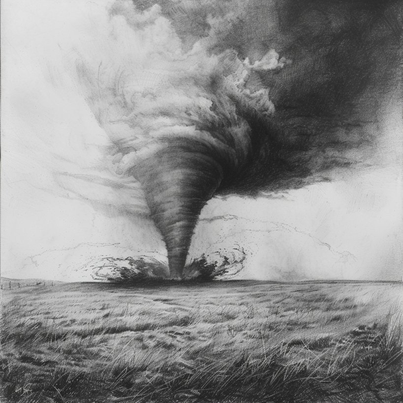

Another clear view of one of the tornado yesterday close to Clarendon, TX.
📷: Ben S.
#texaspanhandle #txwx #texasweather #severeweather #Tornado

(05/02): Here is the severe weather outlooks for today, Friday and Saturday from the SPC.
#KAMRwx #myamarillo #texasweather #texaspanhandle #txwx #amarillo #amarillo texas #okwx #nmwwx #kswx


Severe weather expected in North and Central Texas. Tornadoes, large hail, and potential flooding are forecasted for late Saturday evening into early Sunday morning. Residents are advised to prepare.
#TexasWeather #SevereWeather #DallasFortWorth
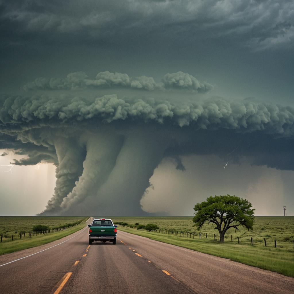

This herky jerky #TexasWeather has been wreaking havoc on my body. Listening to the Great #RobertPalmer 's 'Change His Ways,' takes the Bite out of that Cool Night/Hot Day Dog. 😉
youtu.be/LAWfJCIGqHI?fe…

Not sure what surprised me more, the hurricane force winds, the wave of falling water, the take shelter now warnings, or how fast 150 pounds of scared dog can reach the bed 🤣🤣🤣 Get ready Louisiana, it's a #WeatherRodeo
#TexasWeather #Louisiana
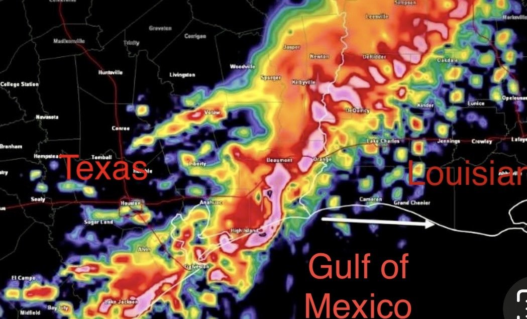


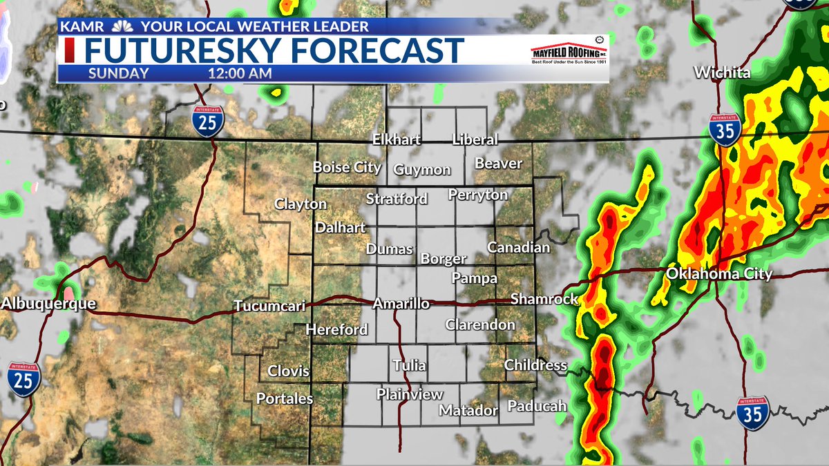
MAY 3: For the next three days we will have showers & embedded storms. Rainfall is forecasted to be the highest to the SE with localize heavier amounts. Unfortunately, we dry out next week with winds increasing. #texasweather #texaspanhandle #txwx #amarillo #amarillo texas #okwx


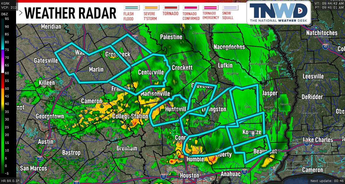
Houston Under Water: Life-Threatening Floods Hit Texas – Stay Safe!
#HoustonFloods #TexasWeather #LifeThreateningFloods #StaySafe #EmergencyAlert
zooppresss.blogspot.com/2024/05/blog-p…

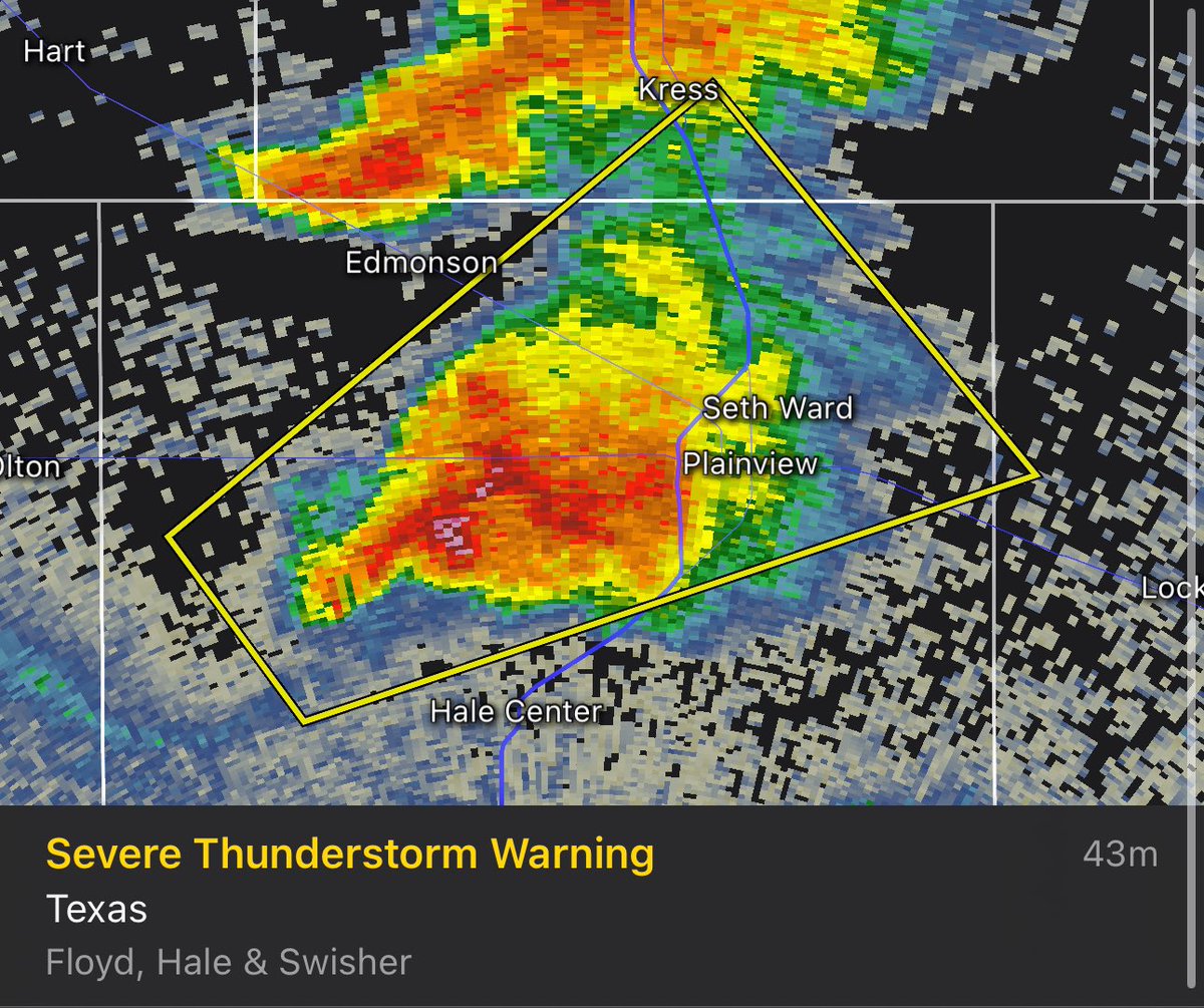
Severe Thunderstorm Warning for NW Floyd, N Hale, S central Swisher Co. until 5 PM. At 4:03 PM CDT, a severe storm was located 7 miles NW of Hale Center, moving NE at 30 mph. 60 mph wind gusts and 1” hail possible.
#texasweather #texaspanhandle #txwx #severeweather


Another beautiful start to our Tues. morning! Temps in the 40s & 50s with clear skies. Winds will increase across our eastern counties with gusts up to 35 mph. Temps will range between the mid-80s to mid-90s for this afternoon.
#texasweather #texaspanhandle #txwx #amarillotexas


SATURDAY'S OUTLOOK: Here is a general idea of what we are looking at for Sat. & our storm potential. T-showers to the SE to start the day then isolated storms in the eastern Panhandles and W OK for the afternoon. #texasweather #texaspanhandle #txwx #amarillo #amarillo texas #okwx
