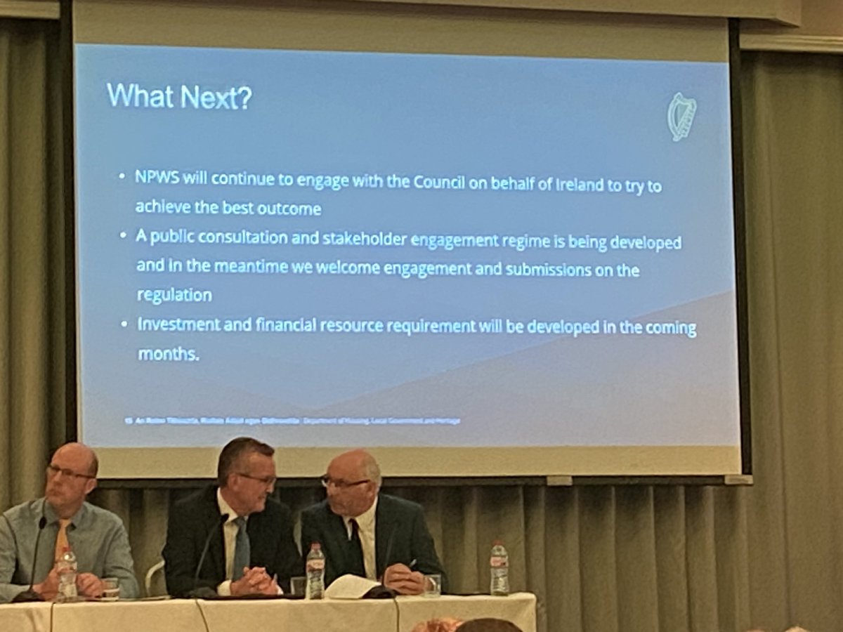

Learn more about Pollardstown Fen, one of Ireland's Special Areas of Conservation. #biodiversity 2023 #biodiversity
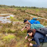
At Liffey Hd Bog, topping off the peat dams with scraw👍 @npwsBioData Notice Nature Ireland Intel Ireland Fernandez Valverde 🇺🇦 Peat Hub Ireland Community Wetlands Forum IPS old profile Malcolm Noonan T.D. @LIFEraisedbogs Our Irish Heritage UN Decade on Ecosystem Restoration Advisory Board #GenerationRestoration #nature #restore #PeatlandsMatter


Healthy Nature = Healthy People…
#WorldHealthDay Notice Nature Ireland NenaghGuardian Community Wetlands Forum Our Irish Heritage Coillte LIFE INSULAR 🇮🇪 🇪🇸 🇪🇺 @LIFEraisedbogs Irish Wildlife Trust BirdWatch Ireland
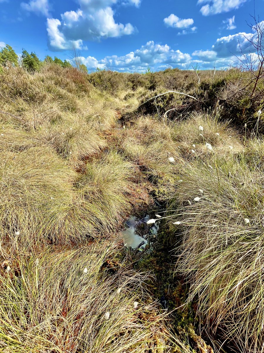

Great restoration efforts at Liffey Hd Bog👏👏NPWS-Intel collaboration focused on c.60Ha of degraded blanket bog. Malcolm Noonan T.D. @npwsBioData Intel Ireland Fernandez Valverde 🇺🇦 Peat Hub Ireland Community Wetlands Forum @LIFEraisedbogs UN Decade on Ecosystem Restoration Advisory Board Business For Biodiversity Ireland Ireland's National Biodiversity Conference Our Irish Heritage #nature
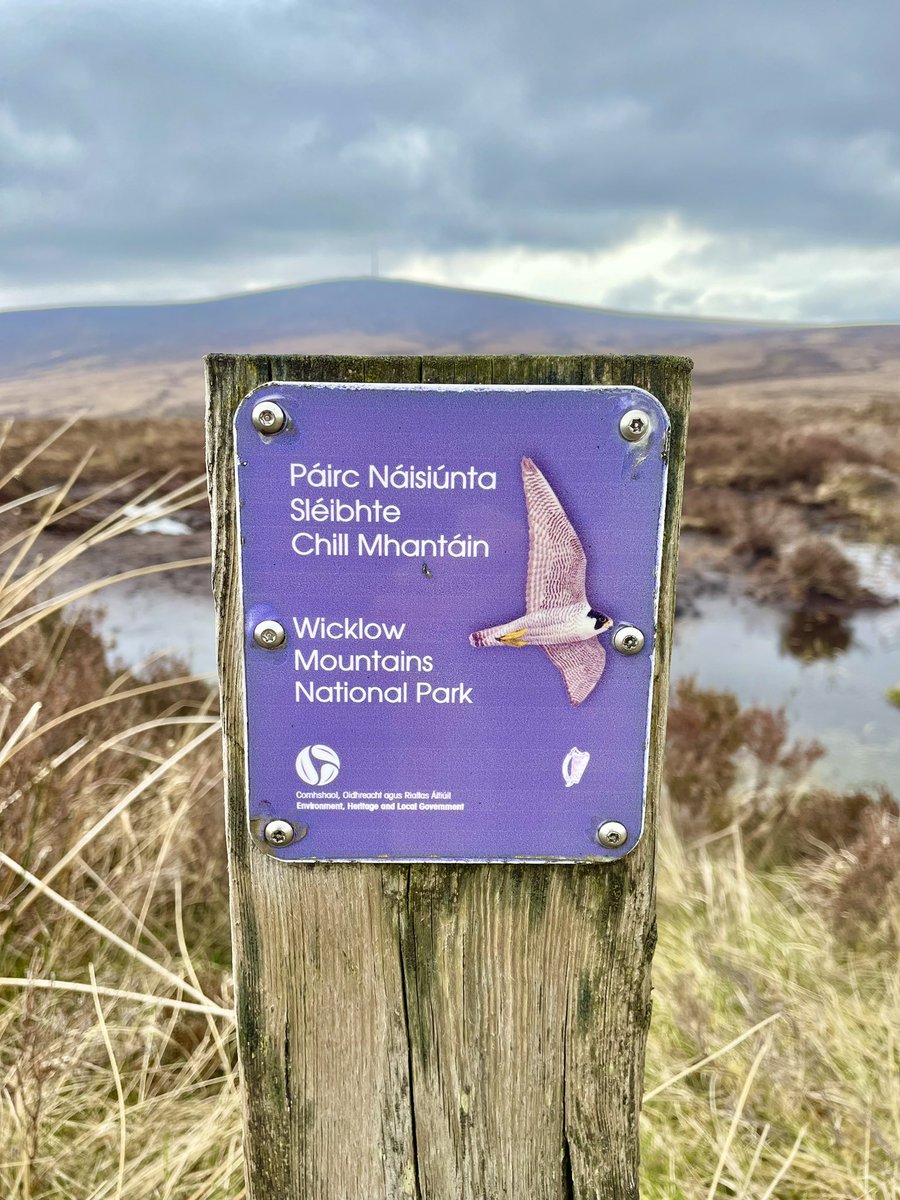
Malcolm Noonan T.D. @npwsBioData Department of Housing, Local Government & Heritage Green Party Ireland Darragh O'Brien Community Wetlands Forum @LIFEraisedbogs LIFE IP Peatlands and People Wetland Surveys Ireland What about community groups missing out on this as a result of being denied the opportunity?We've raised this with you multiple times Minister & no action has been taken. You've acknowledged in your tweet that peatlands are hugely important for biodiversity. Let us play our part!

At Liffey Hd bog,restoration works inch closer to the ‘baby’ Liffey & large peat dams blend into the peatscape👏👍 Fernandez Valverde 🇺🇦 Notice Nature Ireland Malcolm Noonan T.D. Community Wetlands Forum Dianna Kopansky Peat Hub Ireland Our Irish Heritage UN Decade on Ecosystem Restoration Advisory Board @LIFEraisedbogs #generationrestoration
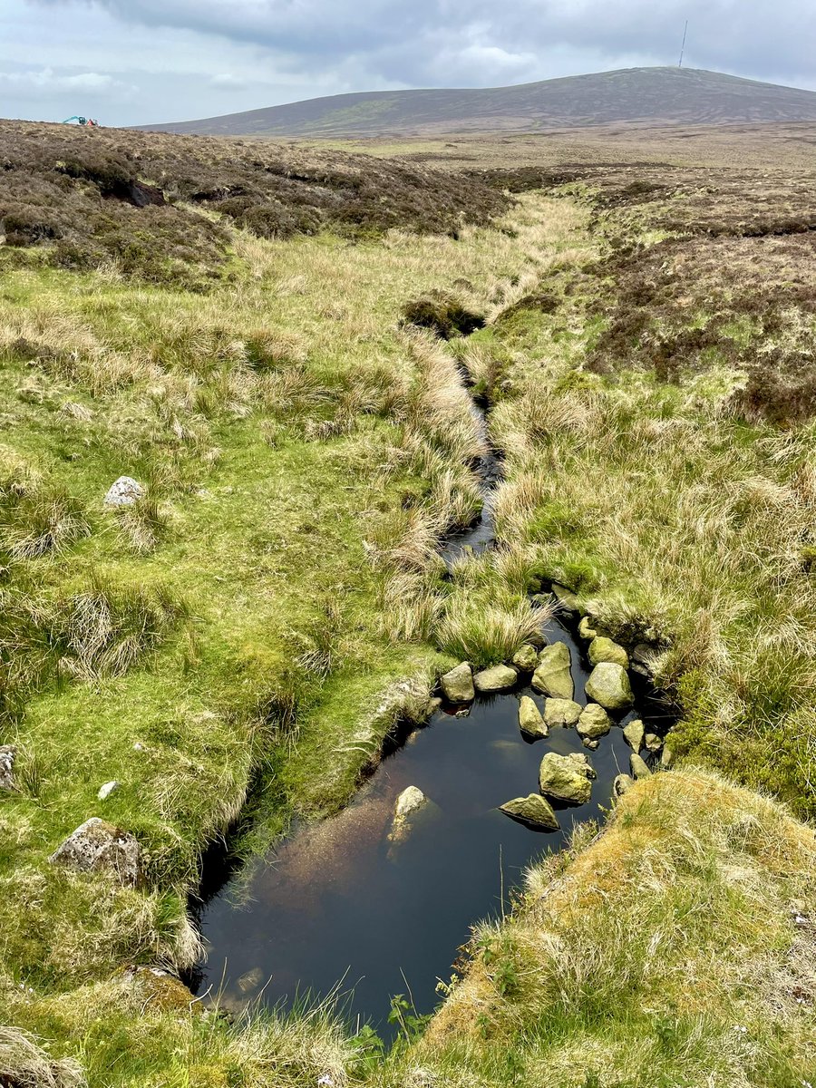
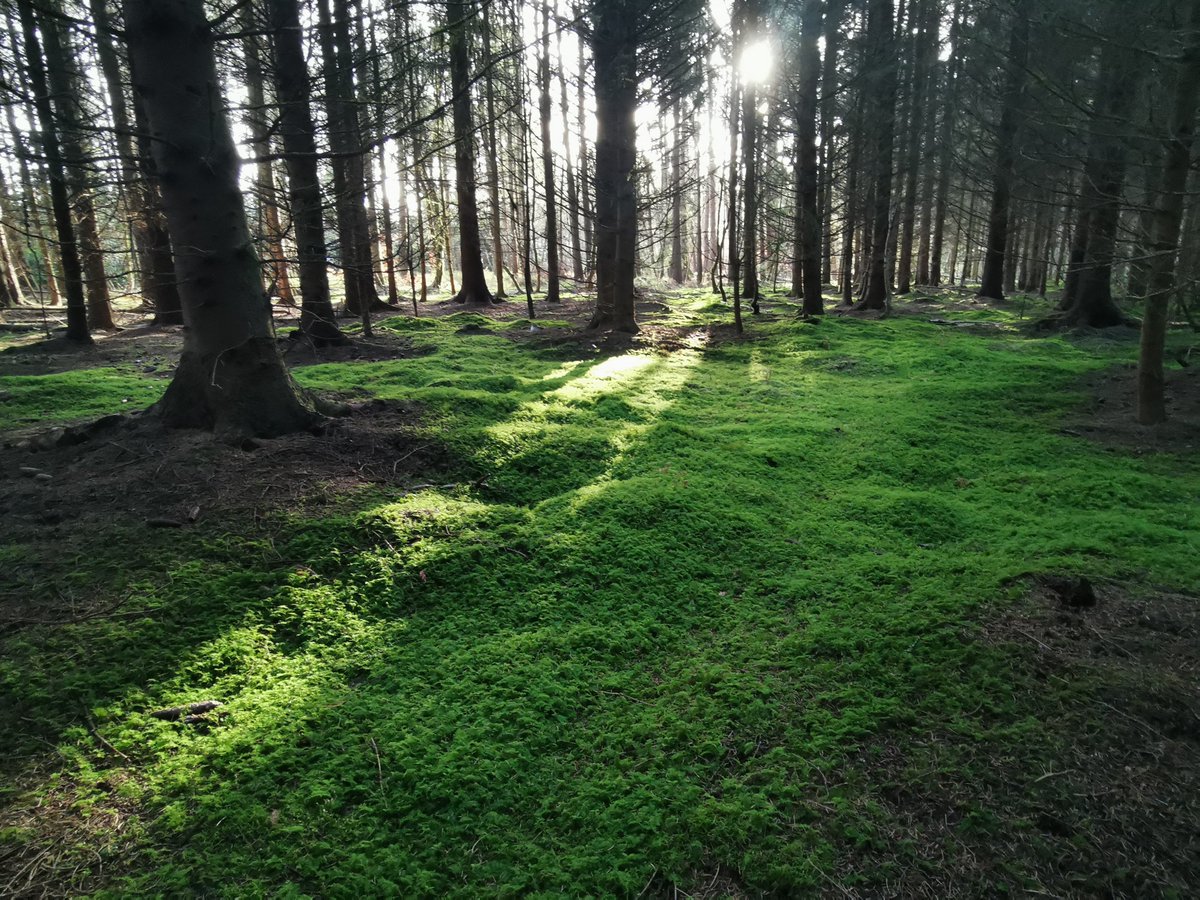
Another glorious day to get some work done on #AbbeyleixBog today Community Wetlands Forum Connecting Communities with Peatlands LIFE IP Wild Atlantic Nature @LIFEraisedbogs Eurosite - the European Land Conservation Network WaterLANDS Abbeyleix Malcolm Noonan T.D. Pippa Hackett

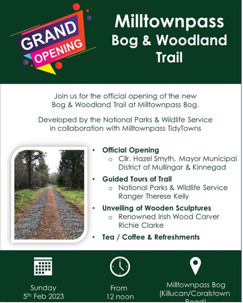
NEW Bog and Woodland trail opening in Milltownpass on Sunday 5th Feb to celebrate #WorldWetlandsDay with the unveiling of beautiful wooden sculptures @LIFEraisedbogs Hazel Smyth

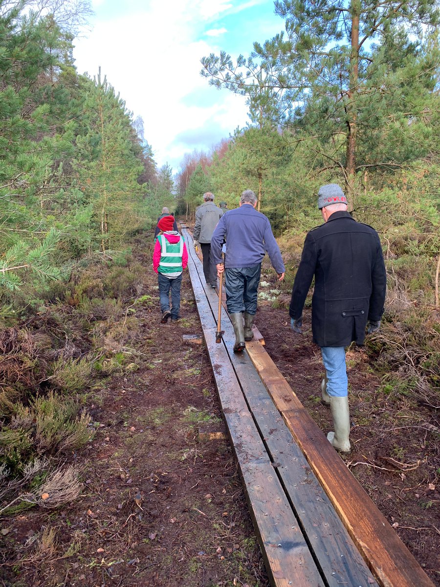
And we're off with 2023s infrastructure upgrade on #AbbeyleixBog with the widening of the first 300m of bog-bridge in the company of Philip Bromwell @RTENewsIRE #climateheroes Community Wetlands Forum Connecting Communities with Peatlands Department of Housing, Local Government & Heritage @LIFEraisedbogs Abbeyleix Eurosite - the European Land Conservation Network WaterLANDS
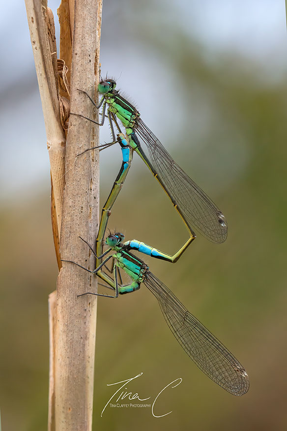
Mating Blue tailed damselflies at Turraun Lake Lough Boora Discovery Park Such magnificent creatures, unfazed by my presence!!
Currach Books Irish Wildlife Trust The British Nature Guide Rewilding Ireland PeatlandConservation International Peatland Society @LIFEraisedbogs Catherine (Farrell) Wilkie Mooney Goes Wild
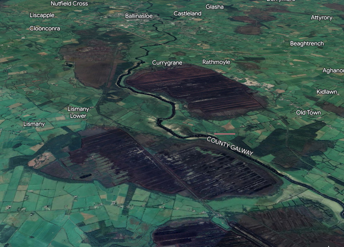
Look at the gorgeous bog commission maps of the floodplains of the River Suck, co. Galway.. the area was mostly drained for industrial peat production in the 1950's. Examining the historical ecology of our midlands pilot area! EPA Research News @LIFEraisedbogs Galway County Council
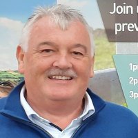
Bangor Erris IFA Regional meeting hears of the complex and dangerous Proposed EU Nature Restoration from Paul O'Brien with Caillin Conneely IFA Hill/ Michael Biggins Nat Rural Dev. Also speaking @LIFEraisedbogs Irish Farmers' Association Mid West Radio
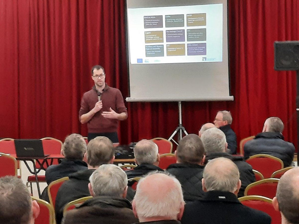

Bog team need your help for as 2023 work begins at Laois oasis leinsterexpress.ie/news/your-comm… Department of Housing, Local Government & Heritage @LIFEraisedbogs Community Wetlands Forum @IWTLaoisOffaly

Community-led Peatlands projects can apply for funding of up €40k under the new Peatlands Community Engagement Scheme from Department of Housing, Local Government & Heritage & @LIFEraisedbogs for projects such as trails, education, awareness, conservation, events & more - Learn more/apply npws.ie/peatlands-and-…
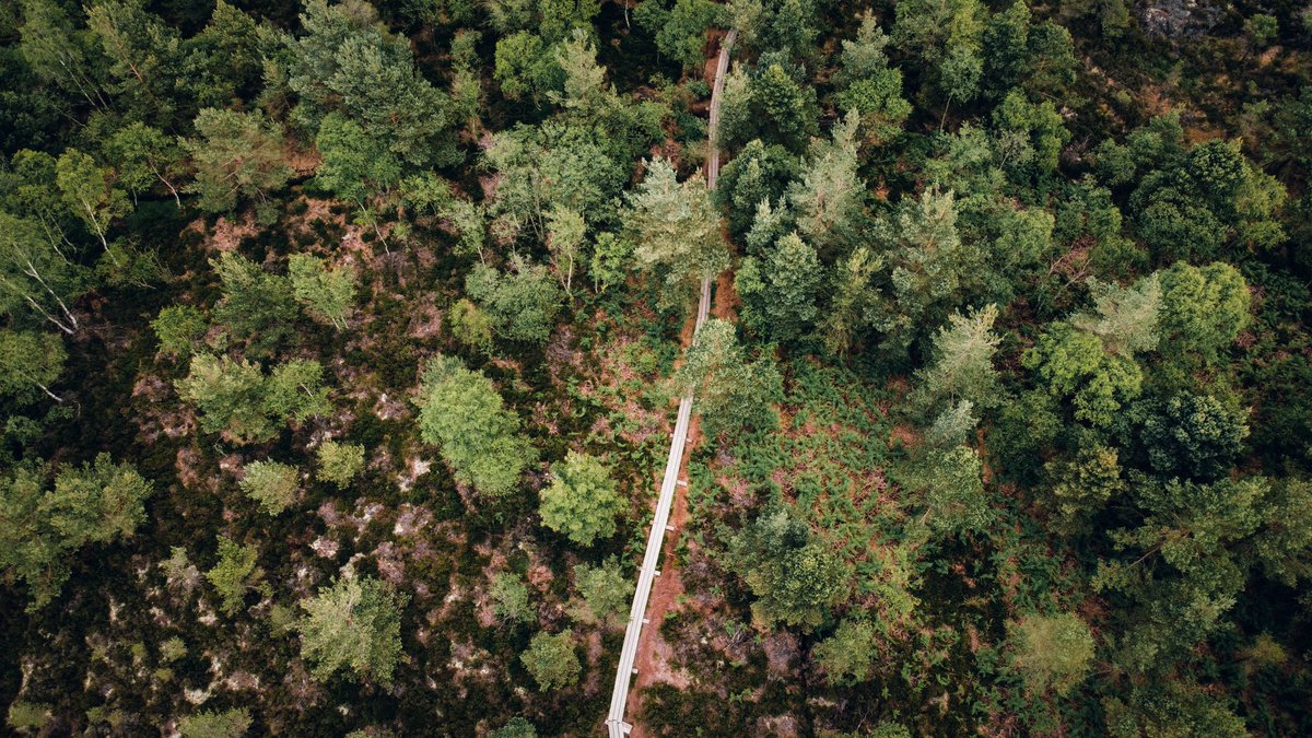
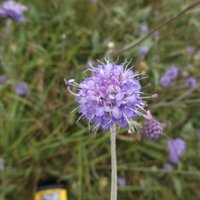
Well done to Alena and Emma in FarmPEAT Project spreading awareness of the importance and beauty of our raised bogs and peat soils under agricultural use. Keep the peat wet! Dept of Agriculture, Food and the Marine Wetland Surveys Ireland Irish Rural Link Community Wetlands Forum @LIFEraisedbogs Peatlands Gathering #EIPAgri

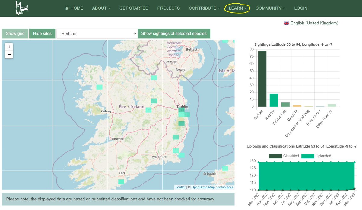
Lorcan Scott Scohaboy Bog SAC-Community Supported Conservation @npwsBioData Notice Nature Ireland Malcolm Noonan T.D. Community Wetlands Forum Connecting Communities with Peatlands Irish Wildlife Trust Áine Lynch @LIFEraisedbogs Our Irish Heritage If you upload photos, you have access to those records: your site information and the classifications 'spotters' assign to them.
For all other data, it is not open, because it has coordinates for private + research camera locations. However, the coarse map viewer shows results!
