BrazilDataCube(@BrazilDataCube) 's Twitter Profile Photo

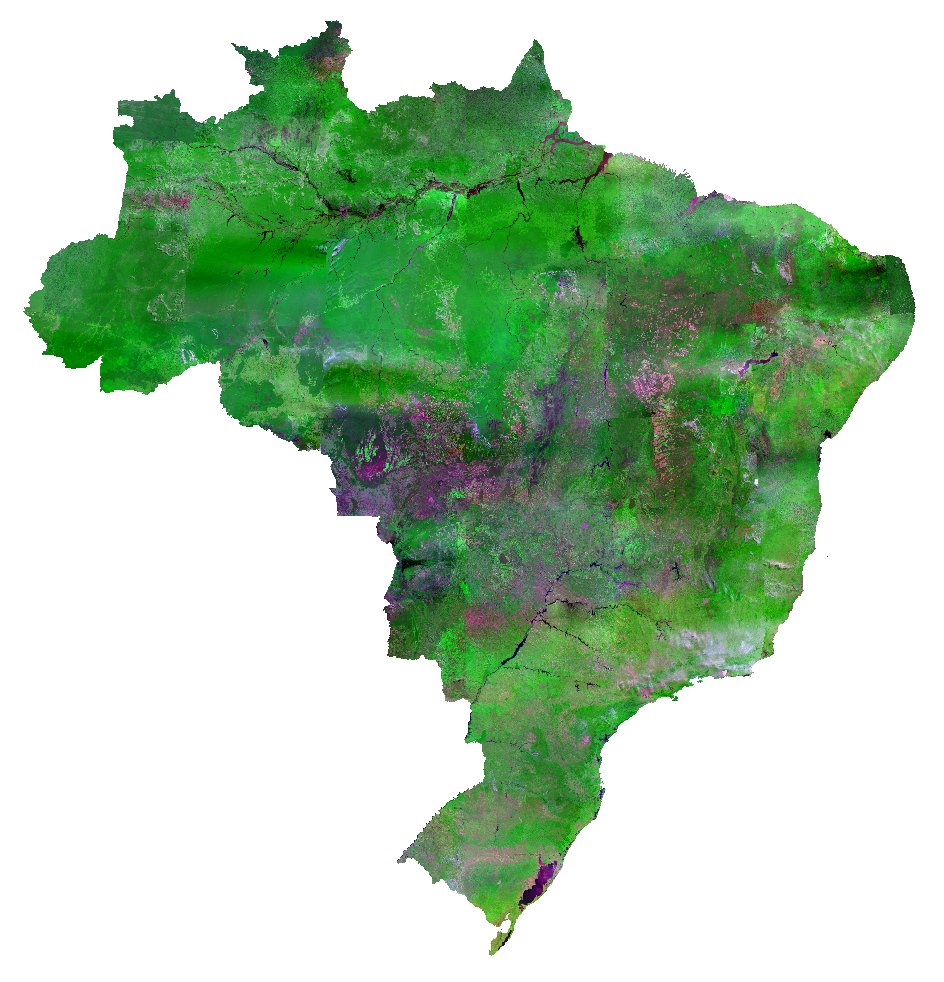
A CBERS4/WFI image mosaic of Brazil was launched today by the Brazil Data Cube Project. See the mosaic here:
brazildatacube.dpi.inpe.br/portal/explore…

Get the geotiff files: brazildatacube.org/cbers4-images-…

A CBERS4/WFI image mosaic of Brazil was launched today by the Brazil Data Cube Project. See the mosaic here: 
brazildatacube.dpi.inpe.br/portal/explore… 

Get the geotiff files: brazildatacube.org/cbers4-images-…
account_circle
Rick Haynes(@DrRickHaynes) 's Twitter Profile Photo

RT: DisastersChart: Our latest map for the in uses imagery to estimate agricultural areas flooded at Oleb and Aroma: bit.ly/3iEXsEb

RT: DisastersChart: Our latest map for the #floods in #Sudan uses #CBERS4 imagery to estimate agricultural areas flooded at Oleb and Aroma: bit.ly/3iEXsEb
account_circle
Rick Haynes(@DrRickHaynes) 's Twitter Profile Photo

RT: DisastersChart: We have our first maps of the in : bit.ly/3iEXsEb
These maps use data from NOAA, and to estimate the extent of the flooded areas.

RT: DisastersChart: We have our first maps of the #floods in #Sudan: bit.ly/3iEXsEb
These maps use data from NOAA, #Pleiades and #CBERS4 to estimate the extent of the flooded areas.
account_circle
Sotiris Valkaniotis(@SotisValkan) 's Twitter Profile Photo

Easy-to-use imagery upscaling for 'enhanced' resolution - using Convolutional Neural Networks. Super-pixel resolution for assisting image interpetation. Could works with similar resolution multispectral images (CBERS4/Landsat8 etc) 1/2

Easy-to-use #Sentinel2 imagery upscaling for 'enhanced' resolution - using Convolutional Neural Networks. Super-pixel resolution for assisting image interpetation. Could works with similar resolution multispectral images (CBERS4/Landsat8 etc) 1/2
account_circle
BrazilDataCube(@BrazilDataCube) 's Twitter Profile Photo

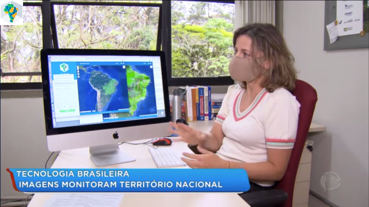
O INPE e o Projeto Brazil Data Cube foram destaque na TV regional hoje com o Mosaico CBERS4/WFI.
Veja reportagem em:
recordtvvale.com.br/site/videos-pl…

ube

O INPE e o Projeto Brazil Data Cube foram destaque na TV regional hoje com o Mosaico CBERS4/WFI.
Veja reportagem em:
recordtvvale.com.br/site/videos-pl…

#brazildatacube #bdcube #bdc #cubodedadosbrasil #INPE #MCTI
account_circle
Rick Haynes(@DrRickHaynes) 's Twitter Profile Photo

RT: DisastersChart: The Charter has been activated to provide satellite data over in , : bit.ly/2HV3pjf
A series of maps are available on our website, using SPOT 6 and imagery to estimate the fire spots and affe…

RT: DisastersChart: The Charter has been activated to provide satellite data over #fires in #Cordoba, #Argentina: bit.ly/2HV3pjf
A series of maps are available on our website, using SPOT 6 and #CBERS4 imagery to estimate the fire spots and affe…
account_circle
Sidney Schaberle Goveia 🇧🇷🗺🛰(@sidneysgoveia) 's Twitter Profile Photo

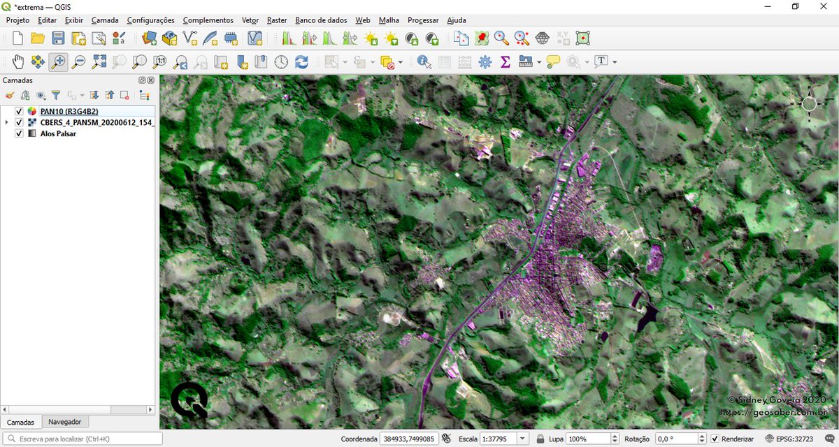
Made with π
Only symbology, without Pansharpening
PAN10 (10m) Virtual Raster color composition overlaid to PAN5 (5m) Panchromatic band.
satellite image.

Made with #QGIS π
Only symbology, without Pansharpening
PAN10 (10m) Virtual Raster color composition overlaid to PAN5 (5m) Panchromatic band.
#CBERS4 satellite image.
account_circle
Frederico Liporace(@liporace) 's Twitter Profile Photo

Amazonia-1 satellite data is now on AWS! It joins CBERS4 and CBERS4A as part of the AWS Open Data program. The archive is indexed using a SpatioTemporal Asset Catalog server maintained by AMS Kepler on stac.amskepler.com/v100 (1/4)

account_circle
Disasters Charter(@DisastersChart) 's Twitter Profile Photo

The Charter has been activated to provide satellite data over in , : bit.ly/2HV3pjf
A series of maps are available on our website, using SPOT 6 and imagery to estimate the fire spots and affected areas.

The Charter has been activated to provide satellite data over #fires in #Cordoba, #Argentina: bit.ly/2HV3pjf
A series of maps are available on our website, using SPOT 6 and #CBERS4 imagery to estimate the fire spots and affected areas.
account_circle
STAC Index(@stacindex) 's Twitter Profile Photo

A lot of new endpoints are available on STAC Index:
- Scott Henderson's AR S1 backscatter
- PGC (ArticDEM, EarthDEM, REMA)
- BrazilDataCube (CBERS4, S2)
- S3 L2/L3 on AWS
- Terrascope

So check out stacindex.org/catalogs for more...

account_circle
DSR INPE(@dsrinpe) 's Twitter Profile Photo

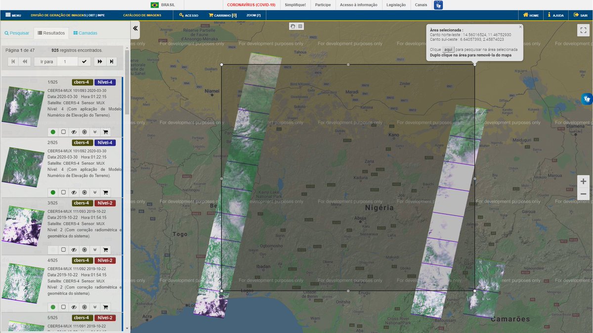
@tyhwoh5 Disasters Charter @inpe_mct CNES Airbus Space You may also want to check out our imagery we acquire regularly over Nigeria.

Free of charge at dgi.inpe.br/catalogo/

@tyhwoh5 @DisastersChart @inpe_mct @CNES @AirbusSpace You may also want to check out our #CBERS4 imagery we acquire regularly over Nigeria.

Free of charge at dgi.inpe.br/catalogo/
account_circle
Laercio Namikawa(@laercionamikawa) 's Twitter Profile Photo

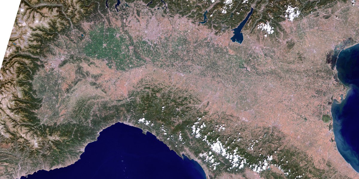
Po River drought seen by CBERS4 satellite on 31/July/2022. Available at dpi.inpe.br/galeria/PoRive…. Original @inpe_mct catalog dgi.inpe.br/catalogo/

Po River drought seen by CBERS4 satellite on 31/July/2022. Available at dpi.inpe.br/galeria/PoRive…. Original @inpe_mct catalog dgi.inpe.br/catalogo/
account_circle