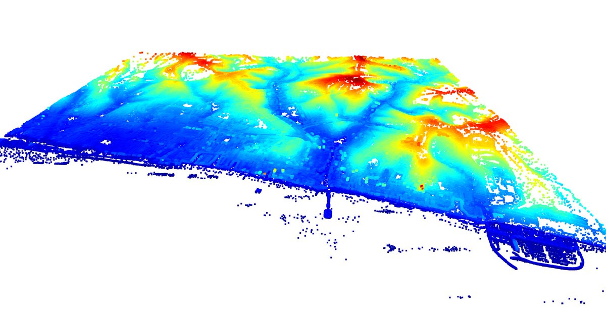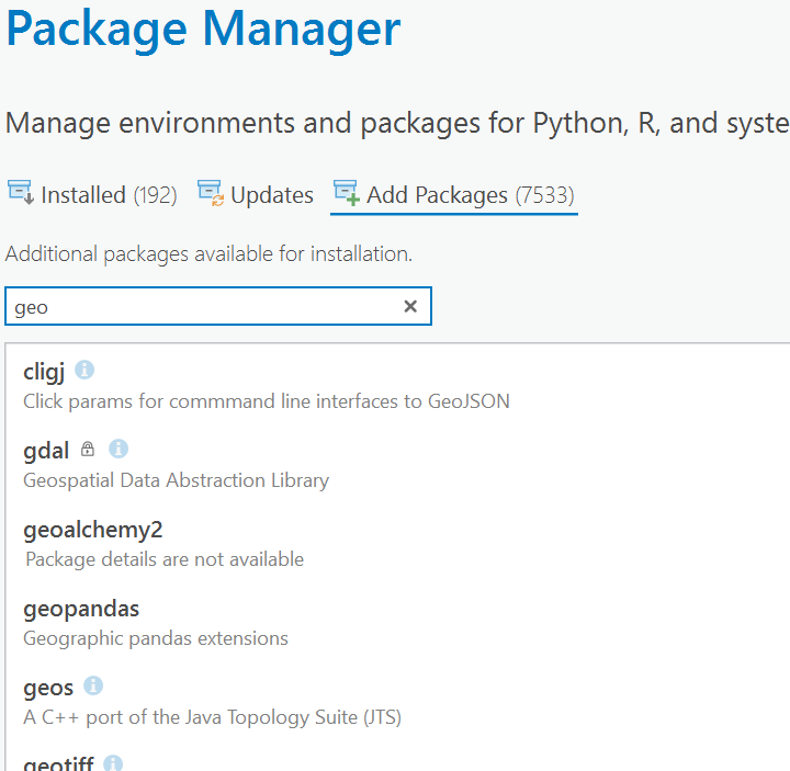
It took ~2 months for the segment-geospatial package to gain 1,700 #GitHub stars ⭐️, while it took #leafmap 2 years to gain 1,700 stars. What new features would you like to see in samgeo?
samgeo: github.com/opengeos/segme…
leafmap: github.com/opengeos/leafm…
#geospatial #geopython


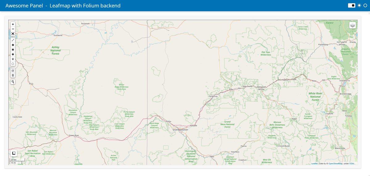
Helping a user of Panel use #leafmap with the #folium backend in his #dataapp .
Join the discussion and check out the code discourse.holoviz.org/t/does-panel-s…
Daniel Kim Qiusheng Wu

#30DayLearningTarget
Day 1 to 10 : #Leafmap and #GoogleEarthEngine
Day 11 to 23: #Python for Data Science
Day 24 to 30. # Spatial Database
Will be sharing all the details ,,data,reports and even codes here on #linkedin and #Twitter ..
Democratizing Knowledge 🌶

🗺️ Check out this video using the power of #Leafmap , a game-changing package by Qiusheng Wu, for creating shapefiles and vector data with ease in Python notebooks. 📦🖥️ Don't miss out on unlocking your spatial data potential! 👇 #GIS #Coding #DataScience
youtu.be/nSUw9THYn6M


Mykola Kozyr 🇺🇦 Cloud Optimized GeoTIFF (a.k.a COG) streamlit Leaflet Daniel J. Dufour 🇺🇸❤️🇺🇦 Johannes Rieke #leafmap can also display #COG and #STAC . It is based on the titiler endpoint Vincent Sarago. The loading local GeoTIFF functionality is based on xarray-leaflet @[email protected], but it does not support Windows
leafmap.org/notebooks/03_c…
github.com/developmentsee…
github.com/davidbrochart/…

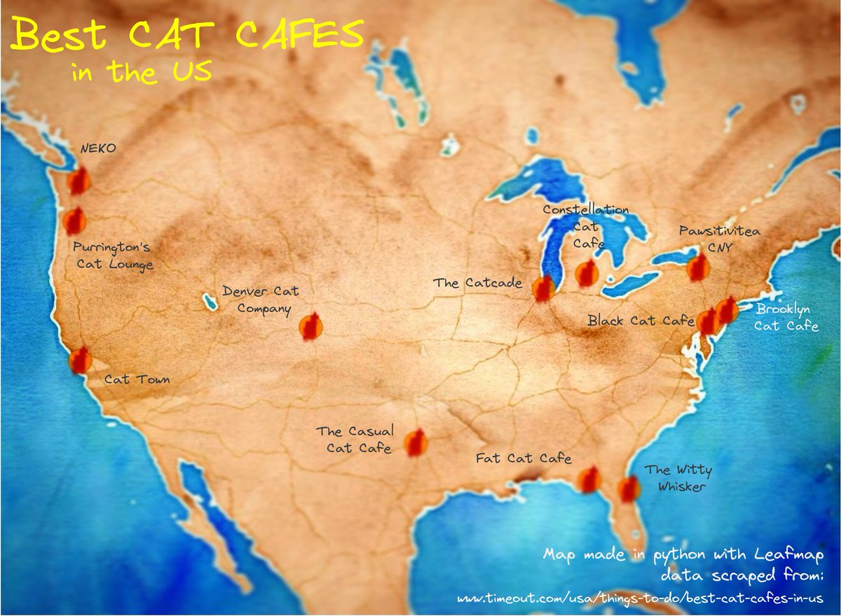
#30DayMapChallenge Day1 Points - Going with crowd choice data theme: Cats - Best Cat Cafes in the US! Dataset from scratch(😸) scraped with python from Time Out article and cafes geocoded with geopy - Map created with Leafmap - More info & maps: location-artistry.github.io


Building a multi-page interactive web app with #leafmap and streamlit
Web app: gishub.org/leafmap-apps
GitHub: github.com/giswqs/leafmap…
#streamlit #geospatial #geopython #dataviz #datascience #python #opensource #gischat

“Leafmap a new Python Package for Geospatial data science” by Abdishakur
link.medium.com/0IU1kYzEylb
#Machinelearning #100DaysOfCode #Bigdata #100DaysOfMLCode #Python #flutter #cybersecurity #RStats #CodeNewbie #DEVCommunity #RPA #DataScience

GIS Devs using python should take a look at #leafmap . From the docs, Qiusheng Wu describes it as a Python package for interactive mapping and geospatial analysis with minimal coding in a Jupyter environment. Looks useful - github.com/giswqs/leafmap…
#GIS #gischat #geospatial #Python3

Leafmap Tutorial 61 - Creating an animated GIF from a vector dataset
Video: youtu.be/DdR8kU3i1eU
Notebook: leafmap.org/notebooks/61_v…
#leafmap #geospatial #geopython #dataviz
